Allison HerreidExplorer
Minnesotan in New Hampshire | Grad student at UNH | Instagram: @allisonherreid
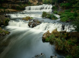
Hike to Willow Falls
Hudson, Wisconsin
4.2
3 mi
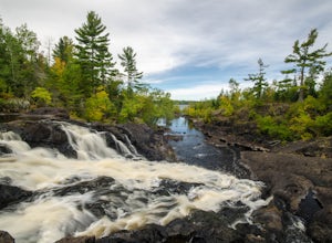
This trip through Willow River State Park shows off beautiful views of Little Falls Lake and Willow River on your way to the falls. In the spring, wildflowers won't disappoint. An overall scenic and rewarding hike.
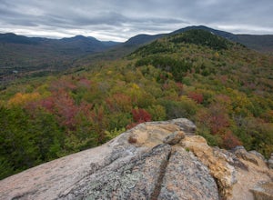
Hike the Sugarloaf Trail
Jefferson, New Hampshire
3.3 mi
/ 1099 ft gain
The Sugarloaf Trail begins at the Sugarloaf trailhead on Zealand Road off of US 302. There are two trails that begin at this trailhead--be sure to cross the bridge over the Ammonoosuc and look for the "Sugarloaf Trail" sign.
The trail begins following the Ammonoosuc River for a short while before turning left and climbing up to North Sugarloaf and Middle Sugarloaf peaks. It is 0.9 miles until t...
Hike Mt. Pierce
Carroll, New Hampshire
5.0
6.2 mi
/ 2412 ft gain
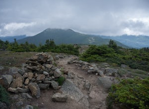
Mount Pierce (elevation 4312 ft.) is part of the Presidential Region in the White Mountain National Forest. Upon reaching the summit, you will be rewarded with 360 degree views of the surrounding mountains.
To begin your hike, park at the Crawford Connector Trailhead. You will follow the Crawford Connector for 0.4 miles to Crawford Path. Just before reaching Crawford Path you will cross a foo...
Meyer's Beach Sea Cave Trail
Bayfield, Wisconsin
4.33 mi
/ 791 ft gain
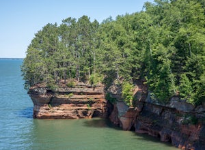
While many visitors view the mainland Apostle Island Caves via kayak, this trail provides an alternative view of the caves. The Meyer’s Beach Sea Cave Trail follows 2.3 miles of the Lakeshore Trail, which begins at the Meyer’s Beach parking lot near Cornucopia, Wisconsin. The first 0.7 miles of the trail is on a boardwalk. Views of the Lake are rare until you get close to the cave overlooks.
...
Bike the Paved Trail in St. Croix State Park
Hinckley, Minnesota
5.5 mi
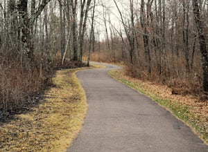
Getting There:The entrance to St. Croix State Park is located 15 miles east of Hinckley, Minnesota on Highway 48. It is another 5 miles to the Park Office.The Paved Bicycle Path:The path is 5.5 miles long one-way and runs from the campground to Lake Clayton Beach Picnic Area. Be sure to stop at the park office for directions. The path is mostly flat which makes it ideal for a family outing. ...
Kawishiwi Falls
Ely, Minnesota
4.0
1 mi
/ 121 ft gain
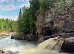
The trail to Kawishiwi Falls begins at the parking lot and winds through a wooded trail with minimal elevation gain. There are several different vantage points of the falls that are accessible from the trail (above, below, and from the side). The trail is also part of the portage between Garden and Fall Lakes. The trail is very easy and can be enjoyed by people of all ages.
Hike the Valley View Overlook Trail in Saguaro National Park
Tucson, Arizona
5.0
0.8 mi
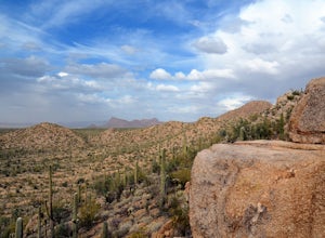
The Valley View Overlook Trail is located in the Tucson Mountain District (which west of Tucson) of Saguaro National Park. The access to this trail is about 3 miles north from the Red Hills Visitor Center. From the visitor center travel 1.5 miles north on N. Kinney Road, then take a right on Hohokam Road for another 1.4 miles. Parking for the trail will be on your left. This trail is quite ...
Hike Sullivan's Knob Trail
Carbon County, Montana
0.75 mi
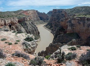
Sullivan's Knob is just one mile north of the popular Devil's Canyon Overlook, so be sure to add this short hike (only 0.75 mi round trip) to your list if you're in the area.
Coming from Devil's Canyon Overlook, the parking lot will be on the right side of the road. The trail begins from the parking lot, is relatively flat throughout, and approaches the edge of the canyon quickly. Take in the ...
Hike to the Fifth Falls of the Gooseberry River
Two Harbors, Minnesota
3.8
2 mi
/ 100 ft gain
Gooseberry Falls State Park is the first State Park you hit traveling up the North Shore after leaving Duluth. Located 13 miles north of Two Harbors on Highway 61, Gooseberry Falls State Park a quick turn off of the highway which is very well marked with signs. Follow signs for Falls parking.
Begin your hike from the Visitor Center and follow signs for the Upper Falls. The trail starts out pave...
Hike the Kadunce River Wayside Trail
Grand Marais, Minnesota
5.0
1.5 mi
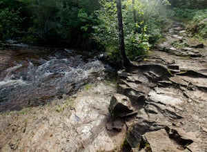
Cool off in the summer on Kadunce River Wayside Trail, a hike with small waterfalls that is accessible for the whole family. Follow the trail itself, or navigate down to the riverbed and wade your way upstream!
Bike the Rice Creek North Regional Trail
Arden Hills, Minnesota
3.0
13.8 mi
The Rice Creek North Regional Trail is 13.8 miles in total, but can be broken up into two different sections (connected by a 3.4 mile bike on county roads). The main trailhead is at 35W and County Road I. You will find the parking lot just after exiting on County Road I. This is the southern segment which has 2.2 mile loop going south, and a 3.2 mile trail following the creek north. There are s...
Explore Looking Glass Arch
Monticello, Utah
4.0
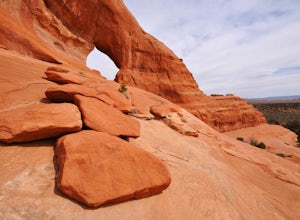
Getting there:From Moab, follow Highway 191 south for about 23 miles until you get to Looking Glass Road/Co. Rd. 131. Take a right and follow the road for about 2 miles and then turn left into the parking lot.It is only about 0.10 miles from the parking lot to the arch itself, but there is a ~150 ft. elevation gain. Though this arch is easily accessible going to or from Moab, it is passed by ma...
Camp at Sitting Bull Campground
Ten Sleep, WyomingSitting Bull Campground is located in the Bighorn National Forest, on the west side of scenic Cloud Peak Skyway near the Cloud Peak Wilderness (51 miles east of Worland, WY).
The campground is adjacent to a beautiful mountain meadow that provides views of the surrounding mountains as well as opportunities for wildlife viewing (we saw moose when we camped here).
Each site has a picnic table and...
Explore the High Falls of the Pigeon River
Grand Portage, Minnesota
4.3
1 mi
This is a must-visit if you find yourself near the Minnesota-Canadian border by Lake Superior. A quick turn into the Grand Portage State Park parking lot off of Highway 61, and a short 0.5 mile walk (from the parking lot) is all it takes to see one of the most breathtaking waterfalls Minnesota has to offer. The .5 mile trail is paved and has a boardwalk near the falls making it wheelchair acce...
Hike to the top of Mount Josephine
Grand Portage, Minnesota
5.0
3 mi
/ 700 ft gain
To get to the trailhead coming from Grand Marais, drive northeast on highway 61 until you come to Grand Portage Village. Turn right onto Store Rd (73) and continue straight until you come to a T (Mile Creek Rd/17). Turn left and continue straight on Upper Rd until you come to a small parking lot on the left side of the road. There will be a small sign that reads 'Mount Josephine.'
The trail be...
Community
© 2024 The Outbound Collective - Terms of Use - Privacy Policy

