Betheny Keller
Sunset Point
Johnson City, Tennessee
5.0
0.65 mi
/ 223 ft gain
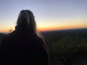
Sunset Point is an overlook located in Buffalo Mountain State Park. The trail is a short hike up along the White Rock loop trail then a short walk off the trail to get to the overlook. There is a clearing with a few benches that has wide open views to the west. The short hike up to the point should take no more than 10-15 minutes. This is the best place to watch the sunset in Johnson City.
Flint Mill Trail
Elizabethton, Tennessee
5.0
2.44 mi
/ 1302 ft gain
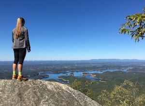
Flint Mill Trail is an approximately 2.4 mile out-and-back trail in the Cherokee National Forrest. The trailhead is located on Flatwoods Road in Elizabethton, TN. The trail has a rather steep incline and is considered challenging. There is a 1,264 foot altitude change from the base to the top . The trailhead is marked by a brown post with a blue circle and the number #49. Once on the trail ther...
Kayak or SUP the South Fork
Bluff City, Tennessee
5.0
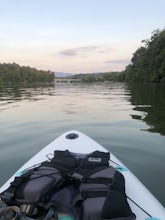
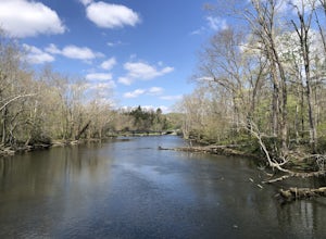
There is a mud parking area on Lakeview Drive underneath the 11E bridges with a cleared mud parking area with access to the the South Fork of the Holston River. There is a gradual drop to the water where kayaks, canoes, or SUPs can be placed in the water. To the east, the river is more narrow at the base of the bluffs. To the west there is a wide open area with forests at the edge of the water....
Bouton Loop Trail
Bristol, Tennessee
5.0
1.45 mi
/ 157 ft gain
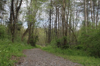
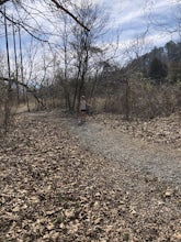
The Bouton Trail Loop is an approximately 1.5 mile round trip on TVA land. There is a gravel parking lot with an information sign and trail map. Sections of the trail are gravel and sections are dirt. There are multiple places along the trail that cut off and lead down to the river for prime fishing access.
Kayak or SUP at Picken’s Bridge
Johnson City, Tennessee
5.0
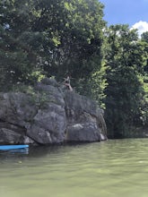
Picken's Bridge has a parking area and boat drop that is accessible to place kayaks or paddle boards. From the boat drop there is a large open area of the lake to paddle around and explore. Northwest from the boat drop there are some cliffs that can easily be climbed up to cliff jump.
Please remember to bring your PFD and any other safety equipment.
Emmett Trail
Bristol, Tennessee
5.0
2.16 mi
/ 194 ft gain
The Emmett Trail is one of the TVA South Holston Tailwater Trails. This trail began as a footpath created by anglers. The trail now has gravel, which makes for easier access for families and pets. The trailhead begins on Piney Hill Road where it the traverses down to the waters edge and leads to another trailhead on Holston View Dam Road. The trail is accessible from either end. While walking t...
Tailwater Trail
Bristol, Tennessee
5.0
0.95 mi
/ 30 ft gain
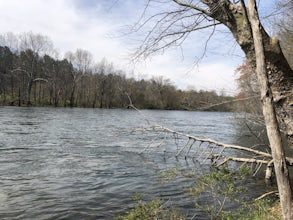
The TVA Tailwater Trail is a 0.5 mile trail along the east side of South Fork Holston River. The trail is dirt and ends in an incline. Along the edge of the river, there are views of the distant Holston Mountain. This trail provides access to the river for fishing. It is located near the Emmett Trail and they could easily be combined for a longer stroll.
Osceola Island Loop
Bristol, Tennessee
5.0
1.52 mi
/ 95 ft gain
The Osceola Island Loop is a 1.50 mile gravel loop on an island in the South Holston River. There are multiple benches along the loop to stop and observe the wildlife. Fishing is a common activity along the edge of the trail. There is a large parking area and bathrooms at the start of the trail.
Little Oak Campground
Bristol, Tennessee
4.0
Little Oak is a campground in Sullivan County, TN in the Cherokee National Forrest. There are 69 campsites located in three separate sections of the campground. Each section has a vault toilet and there is a shower house for the whole campground. There is a host in each section to help ensure you have the best experience possible. Nearly every campsite is in the shore of South Holston Lake. The...
Community
© 2024 The Outbound Collective - Terms of Use - Privacy Policy

