Details
Distance
4.7 miles
Elevation Gain
764 ft
Route Type
Out-and-Back
Features
Family Friendly
Bathrooms
Easy Parking
Wildflowers
Wildlife
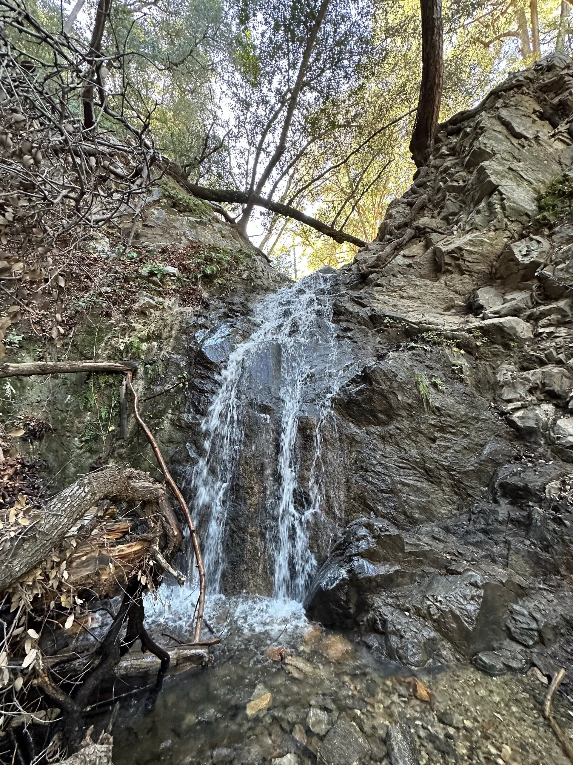
Waterfall
See all 7 tags
Download
Directions
Check-in
Track
About this place
Added by Outbound
Placerita Canyon Falls in Los Angeles County, California is a moderately difficult trail due to the 4.7-mile roundtrip hike and 760+ft of elevation gain. If hiking, plan for a couple of hours to complete this trail.
The trail is open year-round, but the waterfall is best after a recent rain. Dogs are permitted on the trail with a leash.
Parking:
There is parking at the nature center as well as restroom facilities.
Show more
Suggest an edit
Leave No Trace
Always practice Leave No Trace ethics on your adventures and be sure to follow local regulations. Please explore responsibly.
Community
Reviews
Photos
Check-ins

Alexander Sokolov
2/7/2026
Amazing Views
Well Maintained
Bathrooms
Easy To Park
Great Conditions
Report