British Columbia
Looking for the best camping in British Columbia? We've got you covered with the top trails, trips, hiking, backpacking, camping and more around British Columbia. The detailed guides, photos, and reviews are all submitted by the Outbound community.
Top Camping Spots in and near British Columbia
-
Comox-Strathcona D, British Columbia
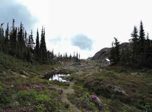
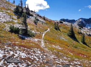
Hike through Marble Meadows to the Wheaton Hut
11.8 mi / 4593.2 ft gainThough the Meadows can be reached by an alternate (very long) route not requiring a boat, the standard access is had by crossing Buttle Lake from the Augerpoint Day Area parking lot on the Buttle Lake Parkway (turn south towards the Westmin mine at the Buttle Lake bridge, just before the provinci...Read more -
Field, British Columbia
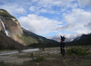
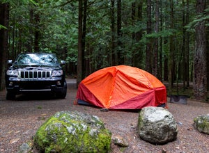
Camp at Takakkaw Falls
Takakkaw is the third highest waterfall in Canada. Mountain vistas, rushing glacial fed rivers, and waterfalls galore make Yoho a prime destination. This is the nicest drive-to campground around, and with little effort you have a semi-backcountry experience that is accessible to everyone.Take the...Read more -
Lillooet, British Columbia
Drive the Molybdenite Ridge
5.012.4 miStarting at the Lytton Cable Ferry the gravel road begins. You are immediately greeted with views of the iconic Fraser River and local mountains. After approximately 40 km on the road, you turn onto Texas Creek FSR and follow this for 7 km before turning onto Molybdenite Main. This road takes you...Read more -
Lytton, British Columbia
Camp at Strawberry Point
2.0If you're coming from Vancouver give yourself about 3 -4 hours of daylight driving time. This place isn't the easiest to find in the dark. From Pemberton, stay on the highway - this drive is beautiful! Follow any directions you see that will take you to the Duffy Lake road. After you drive along ...Read more -
Okanagan-Similkameen H, British Columbia
Hike to Illal Meadows & Illal Peak
3.06.2 mi / 1968.5 ft gainTo access Illal Meadows, you have to take a little spur road off of the Tulameen Forest Service Road. This spur road is described as being accessible with high clearance 2WD before turning into a 4WD road.The first part follows an old, overgrown, flat logging road to the south branch of Illal Cr...Read more -
Terrace, British Columbia
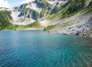
Hike to Gunsight Lake
5.09 mi / 3000 ft gainFrom Terrace drive south for approximately 11 miles south along Highway 37 to Furlong Bay Provincial Park campground. The trailhead is accessed via the gravel pit road on the other side of the highway from the Park. Walk past the first gate and keep to the right prior to the gravel pit. Follow th...Read more -
Squamish, British Columbia
Camp at Alice Lake Provincial Park
5.0Alice Lake Provincial Park is located just North of Squamish. To get here, exit right off Highway 99 when coming from the South onto Alice Lake Rd. The campground is located under 5 minutes up the road and is first come first serve during low season. From late Spring to Early fall, make sure y...Read more -
Field, British Columbia
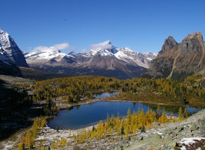
Hike the Yuckness Ledges in Yoho National Park
5.5 mi / 0 ft gainThe Lake O’Hara Alpine Circuit is short loop - but it's not for the faint-hearted. We walked Yuckness Ledges, which is a trail under a large cliff with incredible views over Lake O'Hara and the rest of Yoho National Park. The trail starts from the Lake O’Hara outlet bridge across from the Le Rela...Read more -
Whistler, British Columbia
Explore Garibaldi Park on Snowshoes
Exploring Garibaldi Park by snowshoe is an experience you'll never forget. There is nothing like being in a forest wilderness in the stillness of winter. There are lots of places to snowshoe in the Whistler area, but here are two of the most exciting (yes, snowshoeing can be exciting!) Cheakamus ...Read more -
Sechelt, British Columbia
Kayak Sechelt Inlet
4.0Set off from Sechelt, a small seaside community on the Sunshine Coast - about two hours from Vancouver which is accessed by ferry or float plane.As soon as you start paddling from the harbour in Sechelt, the calm waters are so clear that starfish and other marine life are easily visible beneath t...Read more -
Whistler, British Columbia
Winter Traversing of Spearhead
1.021.7 mi / 6560 ft gainDistance: 21.7 miles / 35 kmDuration: 1 - 3 DaysElevation Gain: ~ 6560 ft. / 2000 m. Take the Sea to Sky Highway (HWY 99) up to Whistler.50°06’48.9”N122°57’13.8”W Turn right off the highway at the Village Gate Boulevard, then left at the 3 way stop at Blackcomb Way. The entrance to the parking ...Read more -
Refuge Cove, British Columbia
Kayak Camping in Desolation Sound Marine Park
5.0Leave from Okeover Arm just north of Powell River to get into the passage to the park. If you are coming from Vancouver, expect a 6 hour drive with multiple ferry rides.The paddle to the campground is fairly easy for an intermediate kayaker. Distances are about 10km from one camp to the next. Onl...Read more -
Manning Park, British Columbia
Hike to Mt. Frosty, EC Manning Provincial Park
14.2 mi / 5433.1 ft gainThe larch meadows on the approach to Mt. Frosty are known for 2 things: 1. Wild flowers during the summer and 2. Larches during the autumn.The trail climbs up the south end of Lightning Lake; it is well groomed and graded all the way up. The steepest section is the climb out of Lightning Lakes – ...Read more -
Penticton, British Columbia
Rock Climbing Adventures at Skaha Bluffs
5.0With many different walls to choose from, Skaha Bluffs is a phenomenal climbing area for any level of climber. The rock quality is nothing short of phenomenal, and you will learn to trust even the smallest of holds!Because Penticton is in the Okanagan Valley, it does get quite warm. Consider plan...Read more -
Terrace, British Columbia
Backpack to the Maroon Mountain Meadows
3.010 mi / 5000 ft gainMaroon Mountain is among the Kitimat Mountain Range, and can be accessed from the unincorporated town of Rosswood. Follow the Nisga'a Highway north of the city Terrace for 34.5 km. Turn right onto the Wesach Creek forestry road (1.3 km north of the Maroon Creek highway bridge), and follow the sig...Read more -
Whistler, British Columbia
Paddle Callaghan Lake
5.0The South Coast Mountains are full of high elevation alpine lakes. There are a few of considerable size (Garibaldi Lake, Duffey Lake, Lake Lovely Water, etc) and Callaghan Lake is one of them. This huge silvery lake sits up in the beautiful Callaghan Valley, a destination for ski touring, snowsho...Read more

