Coquitlam, British Columbia
Looking for the best hiking in Coquitlam? We've got you covered with the top trails, trips, hiking, backpacking, camping and more around Coquitlam. The detailed guides, photos, and reviews are all submitted by the Outbound community.
Top Hiking Spots in and near Coquitlam
-
Deming, Washington
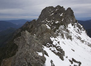
Summit Church Mountain
8.5 mi / 3750 ft gainStart by driving roughly 2.5 miles up Forest Road 3040, conveniently named E Church Mt Road, to the trailhead. The road is bumpy, but lacking the pot-holes that occupy many of the other forest roads. The only issue comes at 2 miles in where a stream runs over the road and has eroded a small ditch...Read more -
Blakely Island, Washington
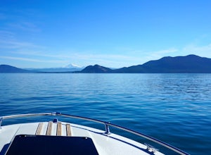
Boat Camp at Blakely Island
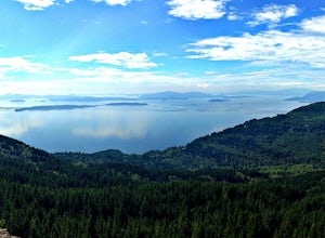
From Washington Park in Anacortes, Washington we launched our 19' Beachcraft with a deep hull into Puget Sound on a beautiful blue sky morning. The weather and water was favorable for an overnight adventure to Blakely Island! We made our way across Rosario Straight and toward James Island (20 mi...Read more -
Fraser Valley E, British Columbia
Hike Mount Cheam
5.0Even at the parking lot, there is a stunning view of Lady Peak and Mount Cheam. Walk towards the big pile of logs and towards the old logging road. You will also see an outhouse – this will be your one and only time to use a toilet, so go now. The road continues for about 15 min. before reaching ...Read more -
Bow, Washington
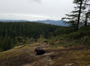
North Butte via Chuckanut Trail
1.07.71 mi / 2047 ft gainThe HikeThe hike there isn't short, has several steep sections, and ends at the top of the mountain. There are cliff warnings at the top, so be careful as you explore the view! The steepest portions are at the beginning and right at the end. The trail is very well maintained (because it is so pop...Read more -
Bow, Washington
Oyster Dome via Chuckanut Trail
4.36.57 mi / 1857 ft gainThe trail begins on the Pacific Northwest Trail, which ascends quickly up the side of Blanchard Mountain. The trail contains several switchbacks which wind through second-growth alder, Western red cedar, and Douglas fir forest. After about one mile there is an overlook with a bench that offers a...Read more -
Deming, Washington
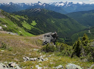
Hike Skyline Divide
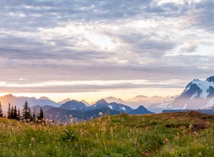
5.09 mi / 2500 ft gainIf driving 13 miles on a forest road, and hiking miles of switchbacks doesn't bother you, your in for one of the most exquisite views that you can get from hiking in Washington state.Just a mile outside of the town of Glacier, turn onto Forest Road 37 and follow it up switchbacks for the majority...Read more -
Whistler, British Columbia
Summit Black Tusk in Garabaldi Provincial Park
5.019 mi / 5708.7 ft gainThis is a very challenging trail! If you are going to carry in a backpack for an overnight hike, you should have a good level of fitness. For a day hike, the trail is nearly 30km long, so still a good level of fitness is required. The trail isn’t technically challenging, but it is up in the alpin...Read more -
Whistler, British Columbia
Hike to the Black Tusk Lookout Point
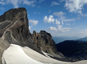
5.018.6 mi / 5700 ft gainThe Black Tusk is a distinctive landmark just south of Whistler (the remnants of an old volcano). There is nothing else like it, and it is visible from all over the Sea to Sky area.Depending on your experience and fitness level, you can either: climb right to the top of the Tusk (expert hiking/sc...Read more -
Whistler, British Columbia
Panorama Ridge
4.817.17 mi / 5289 ft gainTake the Sea to Sky Highway (HWY 99) north from Vancouver up towards Whistler. Turn off the highway about 30 minutes before Whistler Village onto Daisy Lake Road. There are signs along the highway indicating the Garibaldi Lake turn off. The trailhead is located at the end of Daisy Lake Road. Ther...Read more -
Whistler, British Columbia
Hike and Camp at Garibaldi Lake
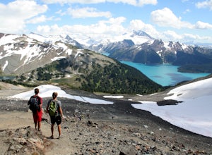
4.6Garibaldi Lake is a huge basin of beautiful turquoise water measuring almost 10 square kilometers (2460 acres), and located at nearly 5000ft above sea level. The lake is over 800 feet deep, filled with pristine glacial water. You’ll be surrounded by big snowy mountains, which remain bright white ...Read more

