Edgewater, British Columbia
Looking for the best hiking in Edgewater? We've got you covered with the top trails, trips, hiking, backpacking, camping and more around Edgewater. The detailed guides, photos, and reviews are all submitted by the Outbound community.
Top Hiking Spots in and near Edgewater
-
Canmore, Alberta
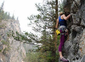
Rock Climb at Cougar Creek Canyon
4.03.1 mi / 49.2 ft gainFrom the TransCanada highway, take the second exit into Canmore (from either direction), and head uphill on Elk Run Boulevard. At the top of the hill, across from the Iron Goat restaurant, there is a three way intersection, head right across the bridge and take an immediate left into the parking ...Read more -
Canmore, Alberta
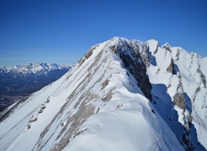
Mount Lady Macdonald Scramble in Winter
3.5The Mount Lady Macdonald trail begins at Cougar Creek, starting out as a leg burner through the forest, then meandering through boulders, halfway up. The boulders, sparse forest, and views of the Bow River Valley make for a classic mountain landscape that isn't always offered by forested walks to...Read more -
Canmore, Alberta
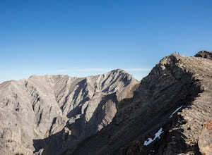
Hike Grotto Mountain
7.5 mi / 4429.1 ft gainFrom Highway 1A take the exit to the Alpine Club of Canada. Park near the woodpile as the actual parking lot is for Alpine Club customers. The trailhead about 30 metres up the road from the woodpile.The start of the trail is fairly relaxed but it quickly becomes a steep uphill battle. There are t...Read more -
Improvement District No. 9, Alberta
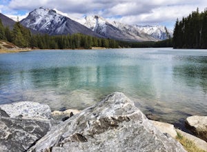
Hike to the Hermit of Inglismaldie
4.02 mi / 34 ft gainAs you drive towards Johnson Lake, the road will end at a parking lot where you should park. There are restrooms and picnic tables located in this same area. Due to the low elevation, the trail around Johnson Lake is a gentle walk, but trail conditions should always be checked especially during ...Read more -
Improvement District No. 9, Alberta
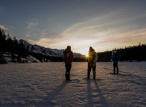
Snowshoe to Johnson Lake
2 miThis is a well-traveled hike, so if you stay on the path, you'll likely need only a good pair of boots. However, in the middle of winter, the lake freezes solid, and you might enjoy exploring a little out on the frozen lake like we did. Snowshoes definitely came in handy out there.This is a very ...Read more -
Turner Valley, Alberta
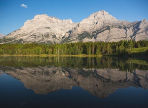
Photograph Wedge Pond
3.00.25 mi / 10 ft gainJust off Highway 1 in Kananaskis Country is a beautiful pond that makes for a wonderful spot to enjoy the first light on the Canadian Rockies. Bring warm clothes as this place can be especially cold. Don't forget a camera and a blanket. I recommend going for sunrise as this is when the lighting i...Read more -
Canmore, Alberta
Hike Pigeon Mountain
Important note: trail closure from December 1 - June 15th.Altitude: 2,394m (7,852 ft)Elevation gain: 990m (3,247 ft)Round trip: 6-6.5 hours (15 kms)Heading West from Calgary on Trans Canada Highway #1 - take the Dead Mans Flats overpass, and go South for 1 -1.5 kms until you reach a parking lot. ...Read more -
Kananaskis, Alberta
Scramble the Wedge
5 mi / 3444.9 ft gainDrive south on Highway 40 and your adventure begins at Wedge Pond. Parking in the parking lot is easy enough if you're there early enough in the day (before 10:00). The trail up the Wedge starts near the bathrooms, and heads south - not southwest towards the pond. After only a few minutes of walk...Read more -
Kananaskis, Alberta
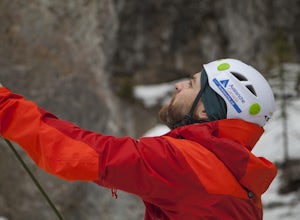
Ice Climb at King Creek
4.0Follow the defined path trailing roughly along the creek bed, a 20 minute hike from the car park. King Creek lies at the bottom of a gorge with steep rock walls on either side and a cascade of fat ice being forced out of the rocks. It's a gorgeous spot, showcasing the true beauty of Kananaskis.It...Read more -
Kananaskis, Alberta
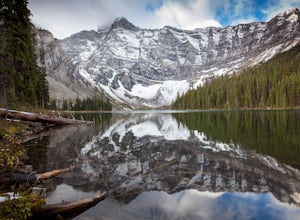
Rawson Lake
4.55 miGetting There From Highway 1, Take Highway 40 South to Kananaskis Lakes Trail, and turn left at Upper Kananaskis Lakes Drive. The Trail The trail to Rawson Lake starts at the end of the "Day Use Area" at Upper Kananaskis Lake. The lake gently laps the shoreline to the right and moss carpets the...Read more -
Kananaskis, Alberta
Hike the Aster Lake Trail in Kananaskis Provincial Park
7.5 mi / 1969 ft gainA long day hike or perfect backpack trip, this alpine lake surrounded by high peaks, starts out relatively easy from the upper Kananaskis Lake parking lot, at the far end of the south side of the lake, with a short tour around the east side of Hidden Lake, you start, what at some points will seem...Read more -
Kananaskis, Alberta
Backpack the Northover Ridge Loop
5.025 mi / 4000 ft gainWhile most people opt to hike this route as a 2 or 3 day trip, camping at Aster and Three Isle Lakes, this description is for a 1 day loop. This is NOT an easy hike to do in 1 day, however, and the ridge is no pushover for any length trip. Exercise caution and don't be afraid to backtrack if weat...Read more -
Kananaskis, Alberta
Rawson Lake & Sarrail Ridge
4.06.8 mi / 2427.8 ft gainTake Hwy. 40 to Kananaskis Lakes Trail. Continue on this road until you reach a turn off for Upper Kananaskis Lake Day Use Area. This is your trail head. Follow the trail along west side of the lake. After about 1 km you will reach Sarrail Falls. Shortly after crossing the bridge, take the trail ...Read more -
Improvement District No. 9, Alberta
Explore Bankhead Ghost Town
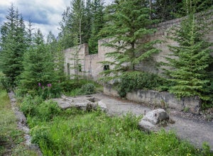
5.00.81 mi / 37 ft gainBankhead is a ghost town which flanks Cascade Mountain and lies just south of Lake Minnewanka in Banff National Park. The main portion of the ghost town is located in Lower Bankhead, which can be reach by traveling North on Range Rd 1158 (closed Nov - Apr), following the signs to Lake Minnewanka....Read more -
Kananaskis, Alberta
Hike Old Baldy Ridge
9.3 mi / 2952.8 ft gainPark at the Evan Thomas parking lot to and the trailhead is in the south of that parking lot. It follows a well-defined trail up for most of the way before you start gaining elevation. When the trail starts heading south, keep an eye out for a small trail that will keep you heading east. This por...Read more -
Kananaskis, Alberta
Ribbon Falls
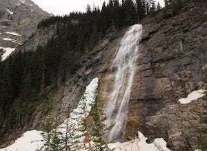
3.812.4 mi / 1148.3 ft gainRibbon Creek trail is accessible via Highway 40 at the turn off for Nakiska Mountain Resort. From there take a left at Centennial Drive and then a right onto Ribbon Creek Road. The hike begins at the far end of the Ribbon Creek Trailhead parking lot. There is an old coal mining cart at the start...Read more

