Nanoose Bay, British Columbia
Looking for the best hiking in Nanoose Bay? We've got you covered with the top trails, trips, hiking, backpacking, camping and more around Nanoose Bay. The detailed guides, photos, and reviews are all submitted by the Outbound community.
Top Hiking Spots in and near Nanoose Bay
-
Fanny Bay, British Columbia
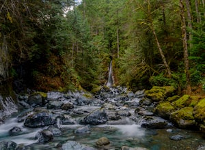
Rosewall Creek Falls
4.33.84 mi / 515 ft gainStarting at the Rosewall Creek Provincial Park parking lot you take the trail upstream of the creek passing under the inland island highway bridge. This trail eventually leads out of the provincial park boundary, but don't worry you haven't gone too far. It is about a 7 km roundtrip hike and the...Read more -
Denman Island, British Columbia
Explore Fillongley Provincial Park
4.01.6 mi / 60 ft gainFillongley Park is located on Denman Island. To get there take the Denman Island Ferry from Buckley Bay, off Hwy #19A on central Vancouver Island. Take the Buckley Bay exit #101 from Hwy #19A. Once on the island, follow Denman Road to Swan Road. Turn left on Swan Road, then right on Beadnell Road...Read more -
Fanny Bay, British Columbia
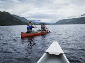
Canoe Great Central Lake and Hike to Della Falls and Love Lake
80.8 mi / 1148.3 ft gainTo get the the Della Falls trail head in Strathcona Park, you must cross Great Central Lake. This is a 45 km journey via either canoe, kayak, or speedboat. We chose to canoe, and it took approximately 9 steady hours. We parked our vehicles just on the edge of Central Lake Road across from Great C...Read more -
Bowen Island, British Columbia
Hike Mount Gardner on Bowen Island
10.6 mi / 2358.9 ft gainMount Gardner is the highest point on Bowen Island. I love visiting Bowen. It is a 20 minute ferry ride from Horseshoe Bay but feels a world’s away from the city. I climbed to the top of Mount Gardner a few years ago during the summer, but had yet to do it in the winter. I was excited to see wha...Read more -
Powell River, British Columbia
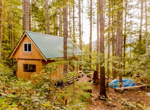
Backcountry Hike and Hut Camp the Northern Portion of the Sunshine Coast Trail
31.1 mi / 3937 ft gainThis adventure is a 50km backcountry hiking and camping trip and should not be attempted without prior backcountry experience. It is recommended you attempt this trail in a group. Below is a detailed description of how to get to the trail and your options for huts while on the trail:The Sunshin...Read more -
Duncan, British Columbia
Hike Mount Prevost
3.06.5 mi / 2473.8 ft gainMt Prevost is a local favourite for hikers, mountain bikers and if you can believe even hang gliders. Most people know it for the large war memorial tower that is perched on the cliff edge, standing guard over the valley below.The big draw of Mt Prevost is easy access to a significant distance an...Read more -
Duncan, British Columbia
Mountain Bike Maple Mountain
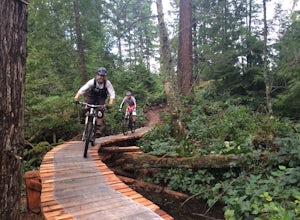
The Maple Mountain trail network has been enjoyed for countless years by hikers, but not until recently did the mountain receive the attention it deserved for mountain biking. Over the last few years the Cowichan Trail Stewardship Society in conjunction with the approval of the local municipality...Read more -
West Vancouver, British Columbia
Explore WhyteCliff Park, West Vancouver
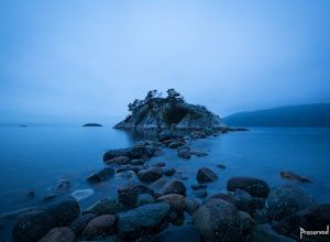
4.4Escape to the vanishing horizon of the Pacific Ocean, where time is measured by the rhythm of waves.Located near West Vancouver's Horseshoe Bay neighbourhood, Whytecliff Park is home to more than 200 marine animal species and is one of the first Marine Protected Areas in Canada. You're almost gua...Read more -
Comox, British Columbia
Run at Goose Spit Regional Park
5.0For a mid week adventure that is closer to home, nothing beats a climb up the stairs at Goose Spit Regional Park. The Goose Spit stairs are a fantastic addition to the Comox Valley's urban playgrounds, beaches, trails and green spaces. There are 165 steps to the main lookout, with an additional 2...Read more -
West Vancouver, British Columbia
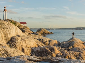
Explore Lighthouse Park
4.5To get to Lighthouse Park, head westbound along Marine Drive in West Vancouver. As Marine Drive continues past little shops and businesses, it will begin to narrow and the road will wind around the coastline. Continue past Caufield Cove Marina and watch for the Lighthouse Park sign on your left. ...Read more -
West Vancouver, British Columbia
Hike to Cypress Falls in West Vancouver
4.03.1 mi / 400 ft gainDrive the the end of Woodgreen Pl in West Vancouver, and you will pass the tennis courts on your right. You will see a little dirt road that heads up into the woods on your left - drive up this road ~30 feet into the parking lot. From the Parking lot, hike up the trail beside cypress creek (this ...Read more -
Salt Spring Island, British Columbia
Hike Mount Maxwell
From Ganges head south on Fulford-ganes road toward Fulfrod harbour. Turn right on Dukes road then a right on Seymour Heights. Seymour Heights turns into a dirt road, with a number of pot holes but nothing a non 4x4 car can't handle. At the trail head there is a small turn around and not a ton of...Read more -
Lions Bay, British Columbia
Scramble to the Summit of the West Lion via the Binkert Trail
5.010 mi / 5400 ft gainFind parking in a small gravel lot and be careful to park to the left of the sign, as cars do get towed in this area. Cross through the yellow road gate and begin by ascending the gravel road that provides moderate switchbacks before reaching a junction with the Mount Harvey trail, and keep right...Read more -
Lions Bay, British Columbia
Hike Mt. Brunswick
5.08.75 mi / 5100 ft gainDriving north from Vancouver along the Sea to Sky Highway (HWY 99) turn off at Lions Bay exit and park at the end of Sunset Dr.N 49.470653225392105, -123.23479324579239 WThe trail begins on a gravel service road which winds up for 30 minutes. Take a left at the fork where a sign on the tree reads...Read more -
West Vancouver, British Columbia
Bowen Lookout
4.02.48 mi / 443 ft gainThe trailhead is located just off the Cypress Mountain lodge. It winds past old growth forest, and the Yew Lake Meadows. After passing these features the trail turns into a series of switchbacks, gaining the elevation in the last 850m of trail. Before you know it you are rewarded with a beautif...Read more -
Bowen Island, British Columbia
Snowshoe to Black Mountain and Eagle Bluffs
5.6 mi / 1312.3 ft gainEagle Bluffs is a perfect hike for anyone looking to get away but not too far from the city! Your trip will start by grabbing your (free) backcountry pass from the Black Mountain lodge in the lower parking lot at the top of cypress bowl road. This is not the main lodge (Cypress Creek Lodge), but ...Read more

