Squamish-Lillooet C, British Columbia
Looking for the best hiking in Squamish-Lillooet C? We've got you covered with the top trails, trips, hiking, backpacking, camping and more around Squamish-Lillooet C. The detailed guides, photos, and reviews are all submitted by the Outbound community.
Top Hiking Spots in and near Squamish-Lillooet C
-
Squamish-Lillooet C, British Columbia
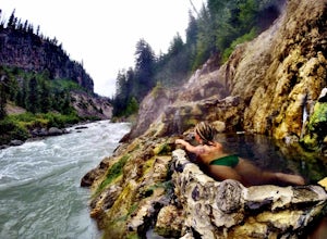
Relax at Keyhole Hot Springs
4.0We woke up and decided we wanted to sit in some hot springs! Packed a bag with water and beer and started driving. Hiked down, enjoyed a beer, partook in the hot spring vibes and took a skinny dip, shared some conversations with other free spirits doing the same :). Make sure not to get drunk! Th...Read more -
Squamish-Lillooet C, British Columbia
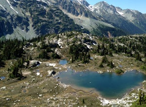
Backpack to Semaphore Lakes
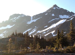
3.1 mi / 1000 ft gainHow does a series of sparkling blue alpine lakes, beautiful mountains, a huge waterfall, glacier and uncrowded camping sound to you? For me, the area around Semaphore Lakes has been one of my favorite destinations for quite a while. It has some of the best camping you could hope for, and two incr...Read more -
Pemberton, British Columbia
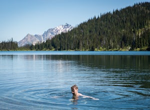
Tenquille Lake
14.99 mi / 3373 ft gainTenquille Lake is the perfect spot to head from Vancouver if you have the time for a long drive and are looking for a people-less adventure. The hike is a manageable 24km round trip with a 1,000m elevation gain that takes you through wildflower meadows, lush forest, and past some stunning views...Read more -
Whistler, British Columbia
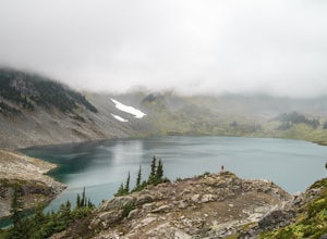
Hike Cirque Lake
4.05 mi / 984.3 ft gainCirque Lake can only be accessed by boating across Callaghan Lake. Start from the Callaghan parking/camping area and take your boat over to the lake. You must then paddle 2km all the way to the far end of Callaghan Lake. You will see a waterfall at the far end. The trailhead to Cirque Lake begins...Read more -
Whistler, British Columbia
Paddle Callaghan Lake
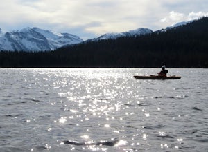
5.0The South Coast Mountains are full of high elevation alpine lakes. There are a few of considerable size (Garibaldi Lake, Duffey Lake, Lake Lovely Water, etc) and Callaghan Lake is one of them. This huge silvery lake sits up in the beautiful Callaghan Valley, a destination for ski touring, snowsho...Read more -
Squamish-Lillooet A, British Columbia
Mountain Bike the South Chilcotins
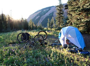
The South Chilcotin Mountains are a veritable mountain biking and hiking paradise. With hundreds of kilometers of dry, flowy mixed use trails and epic scenery, it would be easy to spend weeks exploring this area.Many of the trails begin and end at Tyax Wilderness Resort, with the option to drive ...Read more -
Squamish-Lillooet A, British Columbia
Ride the Sea to Sky Gondola
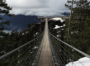
5.02 miWhether you're looking for a quick, scenic trip or a long hike then this is one for you. You get a lot of bang for your buck and the viewpoints are breathtaking. You start your adventure by taking the gondola up the mountain, you'll jump at this opportunity to take photos at this point, but the v...Read more -
Pemberton, British Columbia
Hike to Nairn Falls
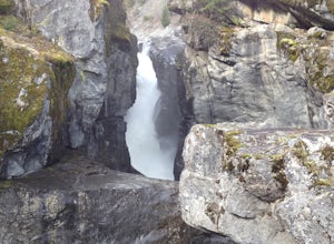
4.3From the turnoff of Highway 99, there is a parking lot specifically for Nairn Falls Provincial Park. There are maps all over the place, and they will direct you to the trailhead for a short hike to the waterfall. There is a blockaded section at the waterfall for viewing due to the danger that the...Read more -
Whistler, British Columbia
Visit the Ancient Cedars
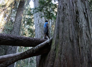
The Sea to Sky area is covered in old growth forest, but few people would expect to find trees of this size in Whistler. The Ancient Cedars Trail is a beautiful hike through breezy sunny forest to a little hidden grove of giant trees, tucked into the side of Cougar Mountain.If you're looking for ...Read more -
Pemberton, British Columbia
Mt. Currie Trail
13 mi / 7867 ft gainMt Currie is the giant mountain that sits above the village of Pemberton BC. It soars 7800 vertical feet from the valley floor to the summit in sheer cliffs. (The mountain itself is 8517ft high.) Before 2014, the only way to reach the summit was to bushwack the entire 7800ft climb (we did this t...Read more -
Whistler, British Columbia
Hike to Rainbow Lake
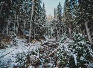
5.09.9 mi / 2788.7 ft gainWith a low elevation to start you'll be greeted with a mossy canopy of luscious wilderness. As you venture deeper through the trail you can notice the wilderness progress to a sub-alpine climate and here you'll be pleasantly surprised by snow tipped pines & surroundings. The Rainbow Trail is ...Read more -
Whistler, British Columbia
Hiking to Wedgemount Lake
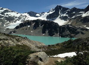
5.08.7 mi / 1160 ft gainJust a little ways past Whistler BC Canada, you'll find a steep mountain trail leading to one of the true gems of Garibaldi Provincial Park and the Sea to Sky area: Wedgemount Lake. This is the stuff dreams are made of.The route ascends 7km through beautiful old growth forest, and as you crest th...Read more -
Whistler, British Columbia
Snowshoe the Rainbow Lake Loop
6 mi / 400 ft gainIn Whistler Village, stop by the information booth and get one of the maps that has the mountain bike paths on it. This will be your map of all the different snowshoeing options in the area, and any of the trails are sure to take you on a fun adventure.From Whistler Village make your way to Rainb...Read more -
Whistler, British Columbia
Hiking the Lost Lake
3.0The 6 km (3.7 mile) hike takes you to and around Lost Lake. Lost Lake is at the heart of the densely forested Lost Lake Park. The wide gravel trail runs around this charming lake through a enjoyable forest draped in old man's beard lichen (usnea).Lost Lake is a small lake just north of Whistler V...Read more -
Whistler, British Columbia
Hike along the Whistler Valley Trail Lit Section
1.2 mi / 164 ft gainThe best place to start you adventure on the Valley Trail at night is at the Whistler Golf Club - Directly across highway 99 from the whistler conference centre. From the parking lot (pay attention to pay parking times), walk west towards the clubhouse, where you will find the entrance to the Val...Read more -
Whistler, British Columbia
Winter Traversing of Spearhead
1.021.7 mi / 6560 ft gainDistance: 21.7 miles / 35 kmDuration: 1 - 3 DaysElevation Gain: ~ 6560 ft. / 2000 m. Take the Sea to Sky Highway (HWY 99) up to Whistler.50°06’48.9”N122°57’13.8”W Turn right off the highway at the Village Gate Boulevard, then left at the 3 way stop at Blackcomb Way. The entrance to the parking ...Read more

