Braies, Italy
Top Spots in and near Braies
-
Funes, Italy
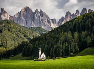
Photograph St. Johann Church
5.0This small church sits in a cow pasture just outside of Puez-Geisler Nature Park. The church is next to a hotel, making parking and visiting a little easier. To get the best vantage point of the church and mountains, walk down the road and shoot through the fence. The mountains are fairly lumi...Read more -
Villnöß, Italy
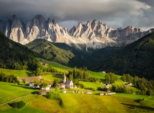
Photograph Santa Maddalena Church in the Dolomites
3.0Santa Maddalena, also known as St. Magdalena, is a picturesque medieval church sequestered in the northern mountains of Italy. The Odle Mountain Group of the Dolomites tower above the surrounding valley and provide an incredible backdrop for images. To reach the best vantage point to photograph...Read more -
Santa Cristina Valgardena, Italy
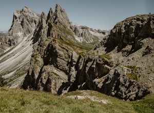
Hike from Col Raiser to Seceda in the Dolomites
Seceda is one of the most famous (and most photographed) spots in all of the Italian Dolomites. This summer I decided to finally visit it to see if it was really worth the hype, and to see if there was a way to escape the worst of the crowds.Most tourists visit Seceda from Ortisei, taking the cab...Read more -
Sëlva, Italy
Citta dei Sassi - Sport Climbing Crag
Cita dei Sassi is a great sport climbing and bouldering area on the Sella Pass, not far from Val Gardena in the Dolomites, with a number of boulders and short, bolted sport routes all a short walk from the car park. To access the area, drive over the Sella Pass until you reach the parking areas f...Read more -
San Pellegrino, Italy
Hike from Passo San Pelligrino to Rifugio Mulaz
8.7 mi / 3858.3 ft gainThe hike from Passo San Pellegrino to Rifugio Mulaz is stage seven of the incredible Alta Via 2 multi-day hut-to-hut trek in the Dolomites, which starts in Brixen/Bressanone and ends in Croce d’Aune north of Venice. This challenging but stunning hike is full of incredible scenery, where lush gree...Read more -
Schwaz, Austria
Hike to Olpererhütte in the Austrian Alps
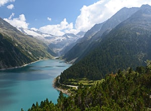
4.04 mi / 1969 ft gainAustria’s Zillertal Valley is a spectacular region of the Alps offering a plethora of hiking options. Locals as well as tourism hosts overwhelmingly recommended Olpererhütte! From Mayrhofen, a public transit bus delivers hikers directly to the trailhead. Mayrhofen is a great village to use as hom...Read more -
Welschnofen, Italy
Loop hike around Lago Di Carezza
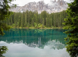
1 mi / 20 ft gainOne of the most scenic lakes in the Dolomites, this spot can be found right along the road as you drive by from Lake Garda toward Lago Di Brais. One of the richest and deepest blues in a glacial lake in the Dolomites. Definitely worth your time to stretch your legs and hike around this amazing s...Read more -
Oberkrimml, Austria
Hike to Krimml Waterfalls
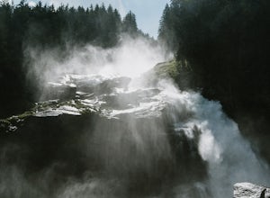
2.6 mi / 1414 ft gainThe Krimml Waterfalls are situated in the Hohe Tauern National Park in the Salzburg region of Austria. At 380m high, they are the highest waterfalls not just of Austria, but in all of Europe. In the village of Krimml, near base of the waterfall you'll find a number of parking areas and the Wasser...Read more -
Obernberg am Brenner, Austria
Hike to the Lichtersee Lake
8.6 mi / 2198.2 ft gainPark at the large car park (paid parking) for the main Obernberg lake, but instead of following the trail to the lake, take the road on the right towards Haus Waldbauer. At the end of the paved road, a gravel road bends off to the right. Follow this gravel road as it leads you uphill and back al...Read more -
Obernberg am Brenner, Austria
Climb Obernberg Tirol
Whilst Innsbruck is known for being a top destination for world-class sport climbing, many of the most popular areas can get very busy, especially in the summer months. This summer we discovered the small crag up at Obernberg and it quickly become one of our favourite places to climb. The crag is...Read more -
Barcis, Italy
Hike to Sentiero del Dint
1.9 mi / 1722.4 ft gainThe colors of the water of this lake alone, from green to blue, a great reason to plan a trip to this magical place. But, you shouldn't miss out on the opportunity to follow the Dint Path, a trail through the woods near the Forra del Cellina Nature Reserve.The main path is easily accessible from ...Read more -
Gschnitz, Austria
Hike to the Lapones Alm
1.1 mi / 508.5 ft gainThe Laponesalm hike is an easy family-friendly hike in the stunning Gschnitz valley in Tirol, Austria. Park the car at the paid parking at the end of the valley, and follow the asphalt road which is signposted towards the Lapones Alm. After about 15-20 minutes of walking, you'll come to a bridg...Read more -
Gschnitz, Austria
Hike to the Italian Border
9.9 mi / 4327.4 ft gainThe Gschnitz valley is one of my favourite places to hike in Tirol. Not only does it have some absolutely stunning scenery, but I've never experienced crowded trails whenever I've been there. This hike is an extension of another hike I've shared on here, to the Tribulaunhütte. Whilst we did take ...Read more -
Gschnitz, Austria
Hike to the Tribulaunhütte in Gschnitztal
7.5 mi / 2575.5 ft gainThe Tribulaun Hütte mountain hut in the Gschnitztal is one of the easiest mountain huts to reach in the area. Leave your car (or take the Post Bus) to the end of the Gschnitztal valley. Just past the car park, the trail up to the Tribulaun hut begins. The trail starts as a wide gravel road that s...Read more -
Jochberg, Austria
Hike to Blaue Lacke (Blue Lake)
8.2 mi / 2286.7 ft gainThe trail starts at Bruggeralm, a mountain hut above the town of Jochberg. Note that the hut is usually closed in June because of the low footfall. In July, Tuesdays are rest days. The trail starts off as a gravel path. You will pass another mountain hut, Jagerwurzhütte. At approximately 2.3km, ...Read more -
Jochberg, Austria
Hike to Sintersbacher Waterfall
6.2 mi / 2030.8 ft gainThe trail begins with an uphill on gravel through the forest, with the Sintersbach river to your left. The trail is shaded until it reaches the Sintersbacher waterfall. There is a bridge which will take you to the other side of the river, where the trail continues uphill for another 20 minutes in...Read more

