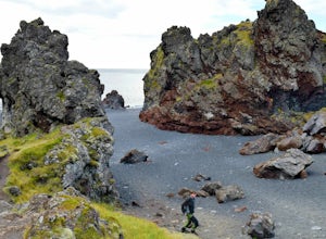
Explore Djúpalónssandur Beach
Unnamed Road, IcelandDjupalonssandur Beach is located within Snæfellsnes National Park. The beach is covered in black pebbles (lava) with enormous monoliths sticking out all over the beach. Behind the beach is Snæfellsjökull, a 700,000-year-old stratovolcano with a glacier covering its summit and it's active!
To explore the beach, park in the parking area and follow the trail from the front of the parking lot down ...
Photogarph the Iconic Sheep Barn in the Westfjords
Bíldudalsvegur, Iceland
5.0
Strangely enough I had seen this little barn in a ton of pictures before going to the Westfjords. I just thought it was a spot that all famous photographers knew about because I couldn't find anything on it when I tried to research it. Of course we drove right past it on our way up to Bíldudalur. To get to the barn, follow route 63 towards Bíldudalur. It will be on your right hand side. You won...
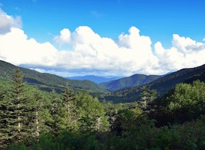
Backpack to Overmountain Shelter in the Roan Highlands
Bakersville, North Carolina
5.0
5.5 mi
/ 900 ft gain
Starting from the Carver Gap Parking area (do not leave belongings visible in your vehicle) head North on the Appalachian Trail (cross the road and head up the hill past the kiosk). Stay on the Appalachian Trail for 5.5 miles climbing across open balds and treking through forests and wildflower patches. You will come to an intersection where you'll notice a lot of little signs; this is Yellow M...
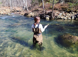
Fly Fish on the Rapidan River
Madison, Virginia
5.0
5 mi
Park at the Graves Mill Parking Area. From here you can easily follow the Rapidan River up the mountain. Fishing reports inform that the lowest concentration of brookies are at the lower boundaries of the park so take some time to enjoy the trail and hike up stream. At the lower boundaries you might hook a Brown Trout
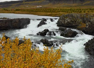
Explore Glanni Waterfall
Glanni-Paradis Road, Iceland
3.0
0.3 mi
/ 0 ft gain
Glanni Waterfall is in the western region of Iceland right off the main Ring Road. It's the perfect place to get out and stretch your legs for a quick 15 minutes.Starting at the parking area, walk towards the signs with hiking trail directions (to the right). From here you'll see a maintained gravel path heading to the right. Walk down this path for a couple hundred feet before turning left (yo...
Hike to Annapolis Rock and Black Rock Cliff
Myersville, Maryland
4.4
8 mi
/ 840 ft gain
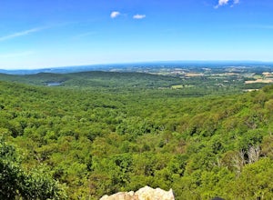
Hike along the Appalachian Trail as it passes through South Mountain State Park, taking you to a number of very scenic lookout spots.From the parking area, take the connector trail a short distance until you see blue blazes on the left – these will lead you to the Appalachian Trail (white blazes), on your right. After a noisy stint next to the freeway, the trail begins climbing the South Mounta...
Hike to Rockhouse and Cane Creek Falls
Pikeville, Tennessee
5.0
1 mi
/ 500 ft gain
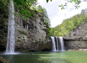
Fall Creek Falls State Park is home to multiple waterfalls. The main attraction and biggest waterfall, Fall Creek Falls, is often tourists' main destination, but I encourage you to visit the base of Rockhouse Falls and Cane Creek Falls to enjoy some quiet solitude and get away from the usual weekend crowds. This hike is not for small children, pets, or any individual who cannot lift or hold the...
Hike Tatoosh Ridge from Tatoosh Trail #161
Packwood, Washington
12 mi
/ 4100 ft gain
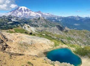
At the trailhead kiosk be sure to get one of the provided (and required) self-serve Wilderness Permit. Starting at the trailhead begin your initial accent following the marked trail on the side of the road. In the first two 2.5 miles you will climb 2,745 feet, it's hard but luckily a majority of this climb will be in the shade of a forest. At roughly 2.5 miles you will intersect with another tr...
Hiking from Carver's Gap to Hwy. 19 on the AT
Bakersville, North Carolina
5.0
20.7 mi
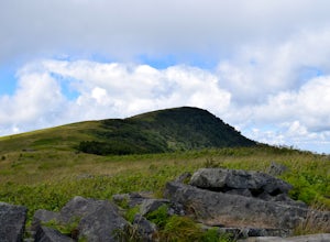
The AT from Carver's Gap to HWY 19 is about 14.5 miles, but with side adventures, it could be roughly 20 miles. The trail crosses the road and continues up about a 400 ft. elevation gain to the first of the balds. This section of the AT is beautiful at near 6000 ft. above sea level and you will get a great view of Roan Mountain. You can take some pictures at Round Bald and up to Jane Bald, givi...
Community
© 2024 The Outbound Collective - Terms of Use - Privacy Policy

