Moss Creek Campground
Book this listing through our partner Recreation Gov
About Moss Creek Campground
Overview
Located in the southeast corner of the Gifford-Pinchot National Forest and close to Columbia River Gorge, Moss Creek Campground sits alongside the Little White Salmon River. At an elevation of 1,400 feet, the campground is shaded by a thick canopy of hemlock, cedars, firs and maples. Moss Creek is ideal for those wishing to escape the summer heat.Recreation
The Little White Salmon River offers rainbow and brook trout for anglers. Visitors can enjoy wading in the cool waters.Facilities
This small campground has 16 sites that are ideal for tents but useable by smaller RVs and trailers.
Drinking water and vault toilets are available. Picnic tables and fire rings are provided, and firewood can be purchased on-site.
Natural Features
Located in southwest Washington State, the Gifford Pinchot National Forest encompasses 1.3 million acres and includes the 110,000-acre Mount St. Helens National Volcanic Monument, established by Congress in 1982.Moss Creek is located in the Mount Adams Ranger District in the easternmost portion of the Gifford Pinchot National Forest. Mount Adams is a prominent landmark on the District, where elevations range between 1,200 and 12,276 feet.
The District features a great diversity of habitats, from old growth to second growth forest, wetland areas, low and high elevation meadows, glaciers and low and high elevation lakes.
Nearby Attractions
Moss Creek Campground is an excellent base for exploring the various sights around Mount Adams and the Columbia River Gorge.Moss Creek Campground Reviews
Have you stayed here? Be the first to leave a review!
Top Spots in or near Cook
Spirit Falls
Cook, Washington
4.0
1.5 mi
/ 516 ft gain
NOTE: Access to this hike is currently closed. A Part of this hike goes through private land. At this time, the landowner is not granting access to hikers.
There are no signs or trail head for the falls, but it's a popular spot for kayakers and photographers, so look for a faint boot path directly from the pulloff on Cook Underwood Road and follow it to the river.
The hike is short, but very ...
Dog Mountain: The Steeper Route
Stevenson, Washington
4.5
5.55 mi
/ 2858 ft gain
If you know the Columbia Gorge, you know Dog Mountain. It's the ever-rewarding, incredibly challenging, insanely popular, calf-burning 6.5-mile hike that attracts hundreds of people every weekend, especially during May and June when the wildflowers are in full bloom.
If you're like me and you hate hiking with crowds, take the steeper route (better known as the old Dog Mountain Trail). The tra...
Dog Mountain via Dog Mountain Trail
Stevenson, Washington
4.5
6.53 mi
/ 2858 ft gain
The Dog Mountain trailhead is located halfway between Stevenson and Bingen. Look for the big signed parking area just after milepost 53 (Eastbound). The parking lot fills up quickly, especially during peak wildflower season, so if you can go on a weekday that would be better.
There are 3 trails to the summit:
Augsberger trail is to the left of the parking area and is the most mellow. It has m...
Wind Mountain
Stevenson, Washington
5.0
2.5 mi
/ 1037 ft gain
Once you reach the parking lot, walk down the hill and find the trail head, which is easily seen as it is marked. Begin your trek up the trail. The way up is pretty much all uphill, and is a great workout for the legs.
You will walk through forests and over many rocks on the way up. As soon as your legs are burning, you hit the top and see the great views. Walk around on the top and look from ...
Warren and Lancaster Falls
Cascade Locks, Oregon
4.5
1.89 mi
/ 571 ft gain
The hike along Mt. Defiance Trail to Warren and Lancaster Falls is great if you want to get away from some of the more crowded destinations in the gorge, or just want to catch some shade during the summer. The trail is fairly easygoing, though the last 1/4th of a mile to Lancaster Falls is a bit of a leg burner.
The hike starts at Starvation Creek State Park. From the parking lot, take the pav...
Mount Defiance
Cascade Locks, Oregon
3.7
12.55 mi
/ 5167 ft gain
This hike starts at the Starvation Creek Rest Area. After parking, head west back along the shoulder of the freeway, where you’ll see a wooden sign stating “Mt. Defiance Trail.” Continue heading west along the abandoned Columbia River Highway. Keep going west as you pass the junction with the Starvation Cutoff Trail (which is what you’ll return on), and you’ll arrive at Cabin Creek Falls. Soon ...
Camping and Lodging in Cook
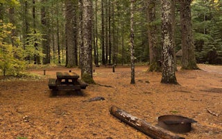
Cook, Washington
Oklahoma Campground
Overview
Oklahoma Campground is nestled in a lush grove of large hemlock, cedar, maple and fir trees alongside the Little White Salmon Ri...
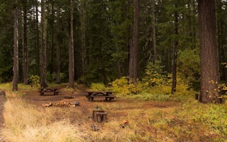
Trout Lake, Washington
Atkisson Group Camp
Overview
Sitting just west of Washington's second largest mountain, Mt. Adams, Atkisson Group Camp is open for campers between May and Se...
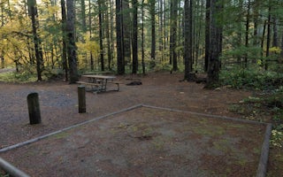
Carson, Washington
Panther Creek Campground
Overview
The Campground sits along Panther Creek at the intersection of the Pacific Crest Trail.
Driving on FR65, 4.7 miles upstream fr...
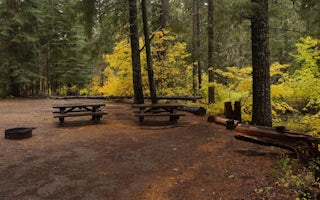
Cook, Washington
Peterson Prairie Campground
Overview
Peterson Prairie Campground offers shaded and secluded campsites nestled in a forest of large pine, spruce and fir trees. The ca...
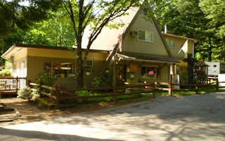
Cascade Locks, Oregon
Cascade Locks / Portland East KOA Holiday
Located in the heart of the breathtaking Columbia River Gorge National Scenic Area, this KOA will have you rollin' along the river in no ...
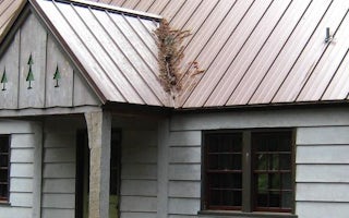
Trout Lake, Washington
Peterson Prairie Cabin
Overview
The Peterson Cabin is located on the Mt. Adams Ranger District, is powered by propane, and wood heat and can sleep six people. ...
Unfortunately, we don't have up-to date pricing data for this listing, but you can check pricing through Recreation Gov.
Book NowAdd your business today to reach The Outbound's audience of adventurous travelers.
Community
© 2024 The Outbound Collective - Terms of Use - Privacy Policy


