Wrights Lake
Book this listing through our partner Recreation Gov
About Wrights Lake
Overview
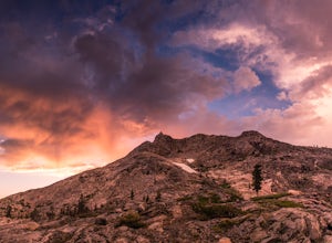
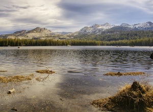
Wrights Lake Campground is situated in the timber belt, close to the lake shore, looking up at the majestic rocky peaks of the Sierra Nevadas and Desolation Wilderness. The area is well-known for its hiking, wildflowers and birding.Recreation
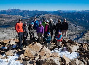
The campground provides access to the lake, where visitors enjoy trout fishing, swimming and boating activities. Motorboats are prohibited in the area.Hikers will enjoy access to multiple foot and horseback riding trails within 5 miles of the campground. Various trailheads, including Bloodsucker, Rockbound and Twin Lakes trails, provide access to Desolation Wilderness.
Educational programs are offered at the amphitheater, and mountain biking and off-road vehicle use is popular on Barrett Lake Jeep trail. Wilderness permits for day hiking are available at the trailheads, and overnight hiking permits are available at Pacific Ranger Station.
Facilities
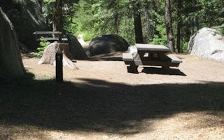
The campground offers dozens of campsites for tent and RV camping. Several sites offer sweeping views of Wrights Lake.Each site is equipped with tables and campfire rings with grills, and firewood can be gathered in the area. Accessible vault toilets. A camp host is available during the daytime.
Natural Features
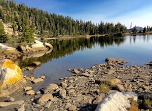
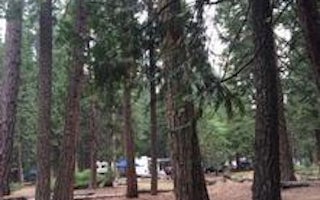
At nearly 7,000 feet in elevation, the campground is surrounded by pine and fir trees with a grassy understory. Wildflowers bloom throughout the spring and summer seasons.Some sites are nestled among giant boulders, providing privacy for campers. The campground is close to Wrights Lake, a 40-acre body of water popular for its serene and quiet atmosphere.
Charges & Cancellations
https://www.recreation.gov/marketing.do?goto=/acm/resPolicies.htmWrights Lake Reviews
Have you stayed here? Be the first to leave a review!
Top Spots in or near Kyburz
Backpack to Smith Lake, Desolation Wilderness
Kyburz, California
5.0
5.6 mi
/ 1750 ft gain
To get to the Twin Lakes Trailhead from the Bay Area/Sacramento, head east on HWY 50 past Kyburz for 4 miles until you see the left-hand turnoff for Wrights Road. If coming westbound on HWY 50, this will be a right-hand turn 5 miles past Strawberry. Follow this paved road for 8 miles (watch for potholes) until you reach Wrights Lake. At the fork, turn right and continue for a mile past the cabi...
Hike to Twin and Island Lakes
Kyburz, California
5.0
7 mi
/ 1600 ft gain
The Twin Lakes trail starts winding through a pine forest, with a couple bridge crossings over crystal clear trout-filled streams. The marsh-like water is very slow moving, and even though it is indeed beautiful, it is also a prime location for pesky mosquitoes in the summertime. Be sure to load up on bug spray for this section.
The trail continues on a gentle climb as you leave a large sect...
Hike the Grouse, Hemlock, and Smith Lake Trail
Kyburz, California
5.0
Starting from the Wright's Lake parking area, walk past the service gate to find the loop trail. Follow the loop trail to the signed trail for Twin, Grouse, Island, and Hemlock Lakes heading toward the right. You will begin an approximate 150 foot ascend before coming to a saddle. Another 150 foot ascent to emerge at a trail of rock slabs, which is often harder to follow. As you ascend another ...
Backpack Desolation's Primitive Western Edge through Rockbound Pass
Kyburz, California
4.4
26.28 mi
/ 5151 ft gain
This 26 mile loop meanders through some of the most primitive trails in Desolation Wilderness. Starting from Wrights Lake, the route proceeds over Rockbound Pass, loops around several lakes, and returns to Wrights Lake. Not many hikers venture past the steep and rocky Rockbound Pass to enter this part of the wilderness which makes for a truly desolate experience. Along with passing tens of name...
Gertrude Lake Trail
Kyburz, California
8.28 mi
/ 1362 ft gain
Gertrude Lake Trail is an out-and-back trail that takes you by a lake located near Kyburz, California.
Hike Pyramid Peak
Kyburz, California
5.0
Although it stands only slightly higher than its neighbors, Pyramid Peak nonetheless dominates the Crystal Range atop which it sits. Great views from the summit make this a must-do.The Route: The route is fairly straightforward to Lake Sylvia (see map). Simply follow the well-defined Lyons Creek trail up Lyons Creek, until you reach Lake Sylvia (about 4.6 miles). Over this distance, you've...
Camping and Lodging in Kyburz
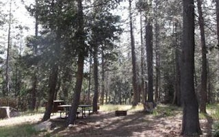
Kyburz, California
Wrights Lake Equestrian Campground
Overview
The Wrights Lake Equestrian Campground is available to visitors travelling with equestrian or packstock animals. The campground...
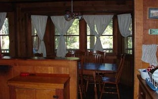
Silver Fork Road
Harvey West Cabin
Overview
The Harvey West Cabin is located on the Silver Fork of the American River. The cabin is easily access from Silver Fork Road. T...
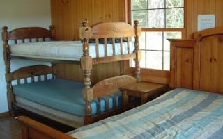
, California
Van Vleck Bunkhouse
Overview
Van Vleck Bunkhouse overlooks a 40-acre meadow and the Tells Peak portion of the Crystal Range of the Sierra Nevada, providing a...
Ice House Road
Big Silver Group
Overview
Big Silver Group Campground offers tent and RV camping for up to 50 guests. The campground is located 23 miles east of Placervil...
Pollock Pines, California
Silver Creek Group Campground
Overview
Silver Creek, located in the Crystal Basin area, offers a fun atmosphere with beautiful scenery for group gatherings. The Ice Ho...
Unnamed Road
Wench Creek
Overview
Wench Creek Campground is located in a beautiful ponderosa pine forest on the east shore of Union Valley Reservoir. The campgrou...
Unfortunately, we don't have up-to date pricing data for this listing, but you can check pricing through Recreation Gov.
Book NowAdd your business today to reach The Outbound's audience of adventurous travelers.
Community
© 2024 The Outbound Collective - Terms of Use - Privacy Policy


