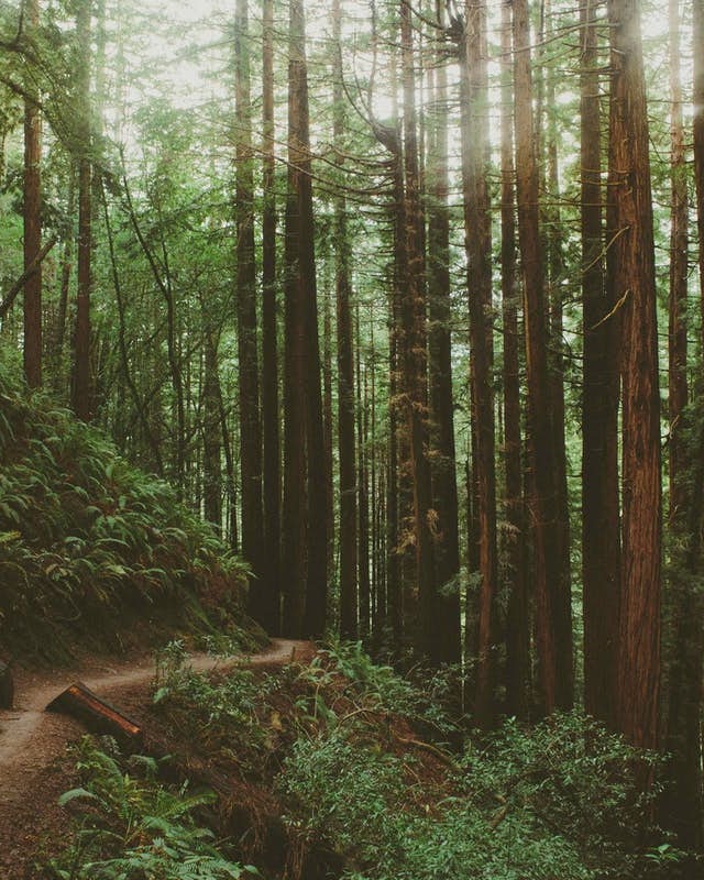
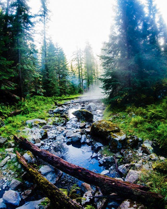
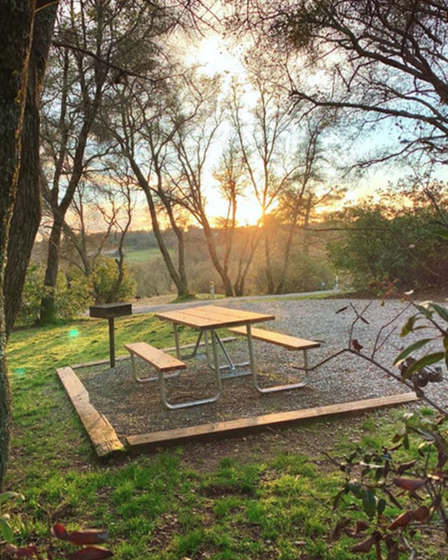
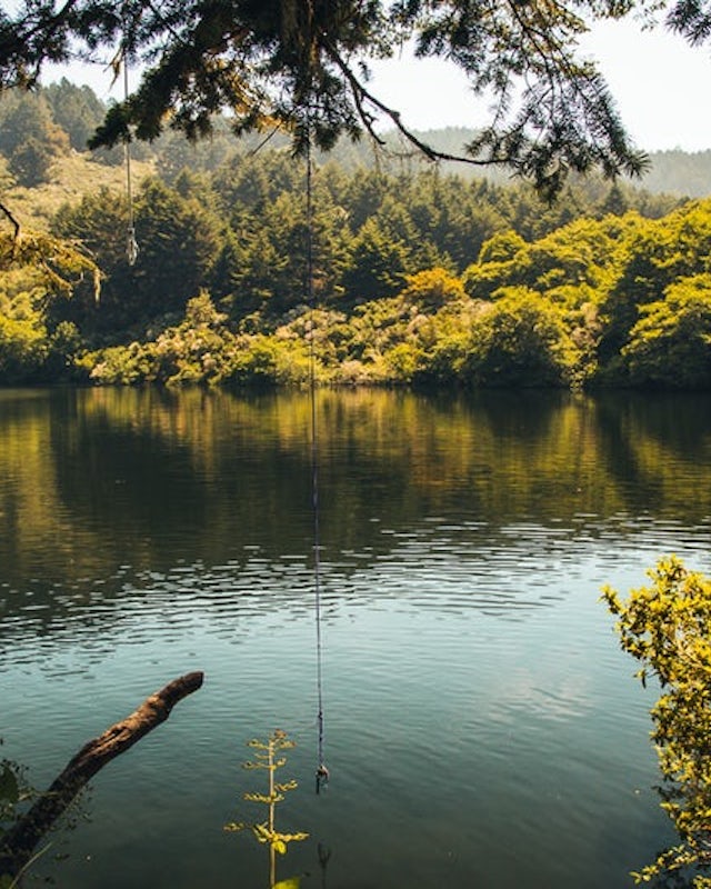
We belong outside.
Our community's diverse local knowledge is unlocking the best spots to play, stay and explore.
What's new
Here's what's fresh from the community
Discover all the fun stuff
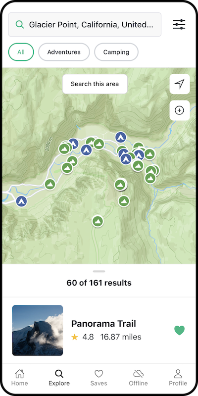
Our community is sharing their favorite outdoor spots (and adding new ones!) all the time. We organize it all, add maps, a pinch of magic, and make it easier for you to find your next adventure.

Start Exploring
Whatever your flavor of adventure, we've got you covered
Popular spots
These adventures have that special something
The Narrows, Zion NP
Springdale, Utah
4.9
9.73 mi
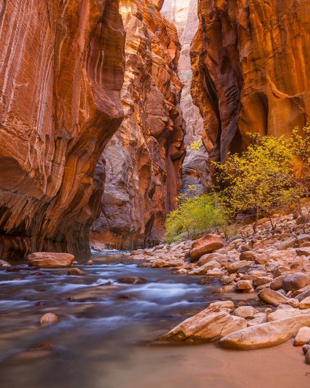
Hiking the narrows in Zion National Park is one of my favorite hikes and something I return for almost every year, I can still remember my first visit as a kid. There's no other place like it in the National Park system and the stunning beauty of its towering walls and vibrant river make it a top destination for visitors to the park.
Depending on the water level most of this hike is partially...
Diamond Fork (Fifth Water) Hot Springs
Utah County, Utah
4.4
4.63 mi
/ 663 ft gain
When you hike out to Diamond Fork aka Fifth Water hot springs, get ready for an amazing experience! The lower fall is visible from the main pool. If you want to continue to go further up the creek, you will run into the second fall, which is the most photogenic of them all. There are also two pools en route to the second fall. If you choose to continue a bit further, you’ll run into the last wa...
Havasu Falls in the Havasupai Reservation
Supai, Arizona
4.7
10.4 mi
/ 1647 ft gain
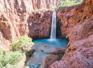
The Havasupai Reservation is a remote area just outside Grand Canyon National Park, full of blue-green water and dramatic waterfalls. Despite being an extremely isolated location, camping in the canyon is overwhelmingly popular and reservations are required. On popular weekends you will be sharing the campgrounds with hundreds of others but shoulder seasons can bring some respite.
The trail ...
Oneonta Gorge
Cascade Locks, Oregon
4.8
0.92 mi
/ 531 ft gain
*Currently closed (except a small portion of the upper trail between Multnomah Spur and Trail #444 on Larch Mountain)...here
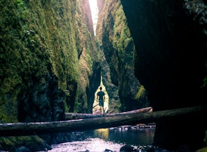
This hike is very short (1 mile roundtrip) but does take some time to do. The trail leads down from the road into a stream bed. You follow the stream bed upstream through a narrow gorge. At the entrance to the gorge there is a large log jam. This requires some balance to...
Alamere Falls via Palomarin Trailhead
Bolinas, California
4.5
13.54 mi
/ 1614 ft gain
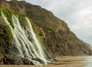
Alamere Falls is the tallest waterfall in the bay area. It is known as a tide fall because it empties directly into the Pacific Ocean. This is extremely unique because there are only 34 tide falls in the world and two in California, the other being McWay Falls in Big Sur. Enjoy stunning views of the pacific combined with varying terrain through forests, tall brush, and exposed dirt trails. If ...
Latourell Falls Loop
Corbett, Oregon
4.7
2.02 mi
/ 820 ft gain
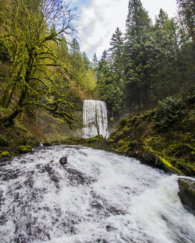
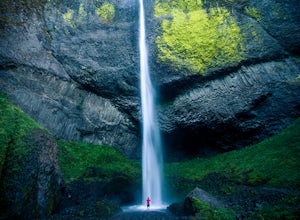
Latourell Falls is a beautiful and unique waterfall in the Columbia River Gorge in Oregon. This amazing waterfall is just a few hundred yards from the road and parking lot. Once you park, there is a viewpoint for the falls that is straight ahead.
The view from there isn't that great compared to what you will find if you take the short trail that starts near the bridge and goes to the base of t...
Spade and Venus Lakes
Ronald, Washington
5.0
26.47 mi
/ 2300 ft gain
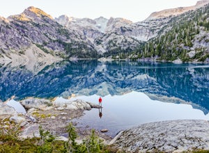
Nestled in a high rocky cirque near the upper reaches of Mt Daniel, Spade and Venus Lakes are two of the most remote lakes in the Alpine Lake Wilderness. But to experience this level of pure isolation, you'll need to earn it; the shortest hike in to the lakes is 14 miles, the majority of which is on flat, mind-numbingly repetitive trail which seems to go on for hours (it does).
The trail star...
Angels Landing
Springdale, Utah
4.7
4.24 mi
/ 1488 ft gain
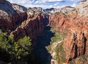
Angels Landing has long been one of my favorite Zion National Park hikes. The hike is thrilling, extremely photogenic, and appeals to those who enjoy exchanging leg power for views. The hike to the top isn't long, 2+ miles, but you'll definitely feel the 1500 feet of gain! The trail features a mostly paved surface (to protect from erosion and high use), steep switch backs, a cool canyon, rock s...
The Subway - Bottom Up
Virgin, Utah
4.9
6.82 mi
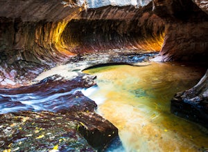
Start your day early at the Left Fork Trailhead on Kolob Terrace Road from the town of Virgin outside Zion National Park. This 6.5 mile out and back hike will take you to one of the most beautiful features in Zion National Park: The Subway. You'll start with a steep descent into the canyon. This will also be your exit, so make sure to orient yourself once you're in the canyon and remember where...
McWay Falls
Big Sur, California
4.6
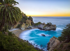
McWay Falls is one of the most iconic waterfalls in BIg Sur and can be seen from Highway 1. The trail to the falls is located in Julia Pfeiffer. For all of you history buffs, Mcway Falls is named after Christopher McWay, an early settler and farmer from New York who ventured west in the late 1800s.
To get there, from the parking lot, walk back towards Highway 1 and look for the sign to the Wat...
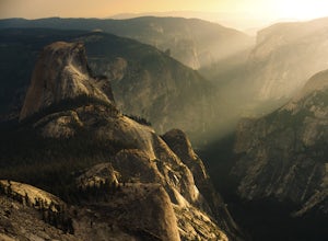
Sunrise Lakes to Clouds Rest
Mariposa County, California
4.7
18.93 mi
/ 1775 ft gain
Start out at the Tenaya Lake Trailhead, where you can head directly onto the trail for Clouds Rest or you can branch off after 2.7 miles to Sunrise Lakes. This allows you to break up the hike, spend a night relaxing and help you have an early start back on the trail.
Once re-connected to the Clouds Rest trail you begin a brief descent before you come across the only lake on the CR Trail. You d...
Donut Falls
Salt Lake City, Utah
4.1
1.53 mi
/ 413 ft gain
The Trail
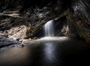
Follow the trail for just a little bit and when it forks, stay to the left and you will arrive to Donut Falls. Once at the waterfall, climb up the rocks to get to the cave at the top, which is not visible from the bottom. To take pictures inside of the cave, you will most likely get your feet wet.
This is a really short hike, so it's great if you are short on time and want to see so...
Multnomah Falls
Multnomah County, Oregon
4.2
2.61 mi
/ 1214 ft gain
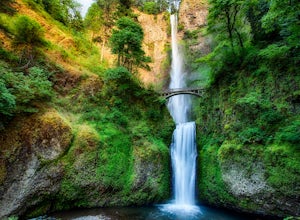
Multnomah Falls is worth a quick stop anytime you're visiting the Columbia River Gorge National Scenic Area in Oregon. This waterfall is the tallest in Oregon at 620 feet and the third largest in the Pacific Northwest behind Bridal Veil Falls (1,289 feet) and Green Lake Falls (979 feet) and has an average flow rate of 150 cu ft/s over two drops. The falls are only about 30 miles from Portland a...
Lands End Trail
San Francisco, California
4.7
3.26 mi
/ 500 ft gain
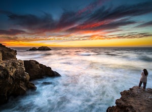
The Lands End Trail is a 3.26 mile out-and-back hike located in the northwest corner of San Francisco along the city's rugged coastline. Offering spectacular views of the Golden Gate Bridge, Marin Headlands, and the Pacific Ocean, the hike is one of the most popular trails in San Francisco for both locals and tourists.
The Lands End Trail in the Golden Gate National Recreation Area is a fair...
White Pine Lake
Sandy, Utah
4.5
9.97 mi
/ 2917 ft gain
Just about 5 miles (2-2.5 hrs) from the trailhead, you will find the beautiful White Pine Lake where the water is an intense blue color. It's an amazing place for photos and just hanging out on a summer or fall afternoon. Along the way you will have great views of mountains of all colors, beautiful granite, meadows, streams, and valleys. Since it's a relatively short hike, you can make this a d...
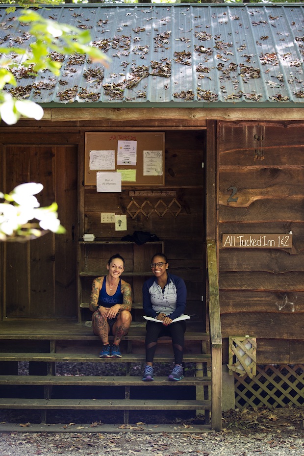
Our work wouldn't be possible without our partners.
We’re seeking to build meaningful, long-term relationships with key partners who share our vision for building a better future.
Our missionUnited States & Canada
California
Colorado
New York
Oregon
Arizona
Utah
North Carolina
Massachusetts
Texas
Washington
New Hampshire
New Mexico
Tennessee
Florida
Michigan
Ohio
Virginia
Maine
Connecticut
Wyoming
Georgia
Montana
Idaho
Pennsylvania
Nevada
New Jersey
Illinois
Maryland
Wisconsin
Minnesota
British Columbia
Missouri
Indiana
Kentucky
Alabama
Arkansas
Alaska
South Carolina
West Virginia
Alberta
Hawaii
Iowa
Oklahoma
South Dakota
Kansas
Rhode Island
Vermont
Delaware
Nebraska
Louisiana

