Arizona
Looking for the best hiking in Arizona? We've got you covered with the top trails, trips, hiking, backpacking, camping and more around Arizona. The detailed guides, photos, and reviews are all submitted by the Outbound community.
Top Hiking Spots in and near Arizona
-
Sedona, Arizona
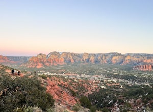
Airport Loop Trail
5.03.28 mi / 338 ft gainAirport Loop Trail is a loop trail where you may see wildflowers located near Sedona, Arizona.Read more -
Page, Arizona
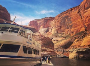
Boat-in to Rainbow Bridge
1.25 miThis amazing trip to one of the largest natural bridges in the world, Rainbow Bridge National Monument, begins at the Lake Powell Marina. Catch your ride at Lake Powell Resort at the Wahweap Marina. This tour the lake for a couple of hours until you reach a narrow canyon. The 50+ foot boat will m...Read more -
Scottsdale, Arizona
Hike Bell's Pass
7.3 mi / 1700 ft gainStarting at 1800 ft elevation, the trail begins at Gateway Loop. This part of the trail will start off pretty flat and be more crowded than Bell's Pass depending on the day and time you are hiking. If you enjoy running this would be the time to do it before you reach Bell's Pass and the incline i...Read more -
Willcox, Arizona
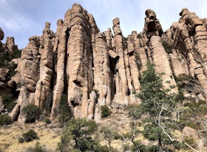
Hike Echo Canyon Trail in Chiricahua National Monument
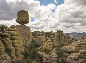
4.53.5 miThis is a moderate trail, with a good amount of up and down. But you won’t mind one bit, because you’ll be so awestruck with the scenery. The distinct unique green coated rock formations of Chiricahua National Monument are on full display for this trail. Note that the parking fills very quickl...Read more -
Sedona, Arizona
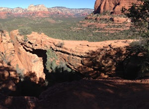
Devil's Bridge via Mescal Trail
3.95 mi / 548 ft gainThe Devil's Bridge trail head itself is accessible via a road meant for 4x4s, which your average car cannot handle. The best way around this is to park at the Mescal Trail on Long Canyon Road. From Dry Creek Road, turn right on to Long Canyon Road, where you will see trail maps and a small parkin...Read more -
Tucson, Arizona
Canyon Loop Trail in Catalina State Park
2.26 mi / 180 ft gainThe Canyon Loop trail is an easy hike through the foothills that begins and ends at the Trailhead parking lot. (End of the road when you enter Catalina State Park from Oracle Rd - entrance fee required) The loop is relatively flat, although starts with a short uphill burst before leveling off. ...Read more -
Ajo, Arizona
Hike the Estes Canyon/Bull Pasture Loop
3.6 mi / 900 ft gainThe trailhead for Estes Canyon/Bull Pasture is on the Ajo Mountain Road scenic loop. Ajo Mountain Road is a dirt, windy, sometimes steep, one way road. It is maintained so that a passenger car can drive it using caution.The trailhead has parking for two dozen cars, bathrooms, and a small shaded p...Read more -
Scottsdale, Arizona
Marcus Landslide Trail
5.03.77 mi / 561 ft gainNamed after a landslide that scientists say occurred over 500,000 years ago, this interpretive hiking trail in the McDowell Sonoran Preserve is a perfect easy outing for families and nature lovers alike. It begins from the Tom's Thumb trailhead (shared parking lot), which is another beautiful hi...Read more -
Marble Canyon, Arizona
Cathedral Wash Trail
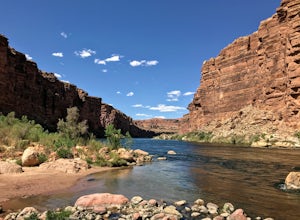
5.03.28 mi / 597 ft gainCathedral Wash Trail is an out-and-back trail that takes you by a river located near Marble Canyon, Arizona.Read more -
Willcox, Arizona
Heart of Rocks Loop from Echo Canyon Trailhead
7.06 mi / 1404 ft gainHeart of Rocks Loop from Echo Canyon Trailhead is an out-and-back trail with a small loop around where you may see wildflowers located near Willcox, Arizona in Chiricahua National Monument. This trail is not dog friendly. .Read more -
Picacho, Arizona
Photograph the Wildflowers at Picacho Peak State Park
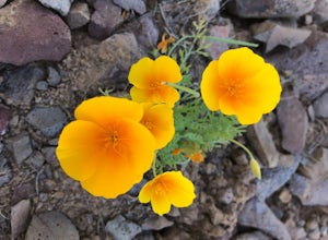
4.0If Arizona is lucky enough to have a rainy winter, we will most certainly have a beautiful bloom come spring. One of the best places to see the beautiful golden blooms is on a hike in Picacho Peak State Park. Blooming season typically begins in mid/late February. Length depends on temperature –...Read more -
Phoenix, Arizona
Shadow Mountain Loop
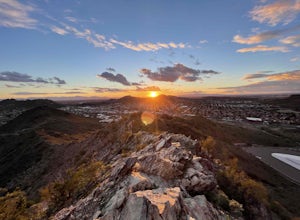
2.07 mi / 600 ft gainShadow Mountain Loop is a loop trail that takes you past scenic surroundings located near Phoenix, Arizona.Read more -
Camp Verde, Arizona
McDonald Trail
4.00.83 mi / 351 ft gainMcDonald Trail is an out-and-back trail that in Coconino National Forest located near Camp Verde, Arizona.Read more -
Tucson, Arizona
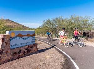
Bike The Loop at The Santa Cruz River Park
22 mi / 500 ft gainThe Loop is an in-development series of shared-use, hard-surface paths meant to connect all of Tucson by following the Santa Cruz River and its major tributaries. The Santa Cruz River Park contains 22 miles of The Loop (with another 40 in development) that runs along the western shore of the Sant...Read more -
Prescott, Arizona
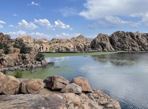
Watson Lake and Flume Trail Loop
4.63 mi / 381 ft gainThe Watson Lake and Flume Trail is a 4.5 mile loop hike that takes you next to Watson Lake near Prescott, AZ. This trail also makes for a great workout if you throw on your running shoes. Keep in mind there is no shade, so pack water and sunscreen accordingly. Thinking about getting on the wate...Read more -
Sedona, Arizona
Devil's Bridge via Chuck Wagon Trail
5.05.75 mi / 738 ft gainDevil's Bridge via Chuck Wagon Trail is an out-and-back trail near Sedona, Arizona. This trail will take you to the largest natural sandstone arch in the Sedona area. Note: this trail permits dogs on-leash, but the steepness and footing can make it challenging and therefore not recommended for ...Read more

