Mayer, Arizona
Looking for the best photography in Mayer? We've got you covered with the top trails, trips, hiking, backpacking, camping and more around Mayer. The detailed guides, photos, and reviews are all submitted by the Outbound community.
Top Photography Spots in and near Mayer
-
Sedona, Arizona
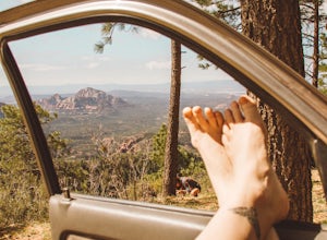
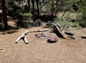
Dispersed Camping in Coconino National Forest (Edge of the World)
5.0This campsite is definitely out there. You'll take a dirt road into what seems to be a thick forest. Tell your GPS to put you on Woody Mountain Road in Flagstaff, AZ. Once you are on this road set your speedometer and follow this road for about 23 miles. Do not make any turns off of this road, th...Read more -
Sedona, Arizona
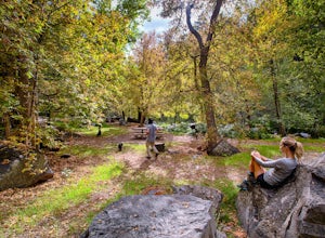
Picnic at Banjo Bill
Nestled in Oak Creek Canyon, and throughout the Red Rock District are several picnic and day-use areas. Popular sites include; West Fork, Red Rock Crossing, Banjo Bill and Grasshopper, which provide unique hiking, creek side picnicking, swimming and fishing opportunities. All Oak Creek Canyon cam...Read more -
Glendale, Arizona
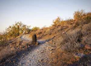
Run at Thunderbird Park
5.02 mi / 475 ft gainThis is a great spot to go for a quick run or a short hike if you're in North Phoenix. Thunderbird park is easily accessible with free entry and a number of picnic areas.There are 3 main hills with a variety of trail options to hike up/around each. From the top you'll find a nice view of valley...Read more -
Sedona, Arizona
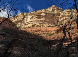
West Fork Trail
5.06.49 mi / 1102 ft gainThis is one of the most beautiful hikes in Sedona, Arizona. It is a fairly easy hike, although it is 6 miles roundtrip. A lot of families come here, and children love to play in the water. There are various stream crossings, but for most of them, you should be able to keep dry. The canyon walls ...Read more -
Sedona, Arizona
Climbing at Oak Creek Canyon
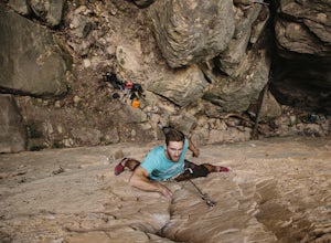
5.0Getting There About 18 miles south of Flagstaff on the 89A, turn into the Cave Springs parking lot and look for the trail just right of the first bridge. Hike up the chossy hill until you reach a giant sandstone slot canyon in the northwest. Climbing This canyon contained the crags, known as the ...Read more -
Williams, Arizona
Hike the Kelsey Spring/Hog Hill/Dorsey Spring Loop
13.4 mi / 2200 ft gainThis hike starts at the Kelsey Spring Trailhead. Park at the end of Forest Service Road 538G. There is parking for about 6-7 cars. Just past the signage for the trail, which is also called Kelsey Winter Trail, there is a trail registration box. Be sure to sign in. The trail descends steeply for t...Read more

