Mormon Lake, Arizona
Top Spots in and near Mormon Lake
-
Flagstaff, Arizona
Camp in the Coconino National Forest
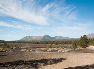
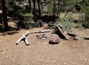
3.8The free camping in the Coconino (as well as the many other national forests) is generally along the old Fire Roads, and old Forest Service Roads. You can tell if a road is one of these by a brown sign with an FS 123 or any other number, FS meaning Forest Service Road. There are many of these roa...Read more -
Williams, Arizona
Hike the Kelsey Spring/Hog Hill/Dorsey Spring Loop
13.4 mi / 2200 ft gainThis hike starts at the Kelsey Spring Trailhead. Park at the end of Forest Service Road 538G. There is parking for about 6-7 cars. Just past the signage for the trail, which is also called Kelsey Winter Trail, there is a trail registration box. Be sure to sign in. The trail descends steeply for t...Read more -
Happy Jack, Arizona
Car Camp the Mogollon Rim
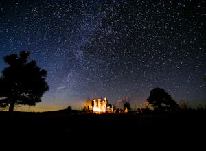
4.8The Mogollon Rim is part of the Colorado Plateau in eastern Arizona above Payson. The rim stretches across the Coconino National Forest and at some parts drops off nearly 2,000ft. This area is ideal for over-night car-camping. The expansive vistas above thousands of acres of national forest land ...Read more -
Sedona, Arizona
Robbers Roost
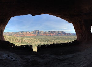
5.00.95 mi / 148 ft gainThe hike begins on the eastern side of the parking area. It is only a half mile hike but the views are amazing. Hike through the beautiful Sedona landscape of red rock and juniper before finding your way to this breathtaking cliff side view! Feel free to explore more of the mountain and find othe...Read more -
Flagstaff, Arizona
Humphreys Peak Summit
5.09.57 mi / 2759 ft gainIf you think you might only get one chance to hike Humphreys Peak in your life, I recommend this hike so that you can have a unique view experience of the east and west sides of the Peaks. This is a shuttle hike of Humphreys Peak which combines the Humphreys Peak Trail and the Humphreys via Inner...Read more -
Flagstaff, Arizona
Hike the Lava Flow Trail at Sunset Crater Volcano National Monument
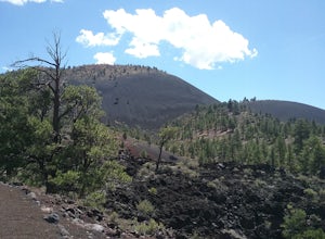
5.01 miGet started on the hike from the parking lot. The first quarter mile is paved and very easy to walk. The rest of the trail takes you to the base of the volcano through lava flows and tubes. This is an incredible landscape to take in along your hike.Read more -
Flagstaff, Arizona
Trail Run in Lockett Meadow
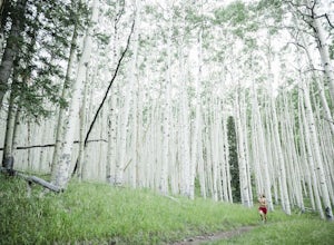
4.8Getting There North of Flagstaff on the 89A, take a left turn directly after a sign for Sunset Crater. This road winds up a well-developed path; when it ends, turn right. After the road banks left, take a right at the next fork and continue on the dirt road up a single lane path until you enter t...Read more -
Flagstaff, Arizona
Hike Inner Basin Trail #29
5.03.2 mi / 757 ft gainWhen the golden fall color is at its peak is when this trail (and Locket Meadow camping) is the most popular. I recommend getting there as early as possible, because parking goes FAST. And note that the drive up to the trailhead is a bit sketchy as well… Beginning at Lockett Meadow, the start o...Read more -
Coconino County, Arizona
Hike Aspen Corner to Bismark Lake on the Arizona Trail
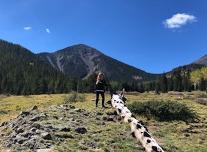
5.07 mi / 500 ft gainI started this hike at 7:00am. It was a perfect time of day. The sky was clear and the air was cool. I chose this section of the Arizona National Scenic Trail because I heard it passes through beautiful prairie and stands of Ponderosa Pine and Aspen trees. The trail did not disappoint! I started...Read more -
Camp Verde, Arizona
The Bull Pen
5.01.87 mi / 92 ft gainThis trail starts at the end of Bullpen Rd and your adventure begins in beautiful thickets of trees and plants. The going is easy and the tempting sound of rushing water is on your right as you continue parallel to West Clear Creek. The trail will veer left up a rocky old service road but pay att...Read more -
Flagstaff, Arizona
Winter Summit Humphreys Peak, Arizona
8.4 mi / 3335 ft gainFrom Flagstaff, take US-180 west towards the Grand Canyon. Take US-180 for 7 miles until you reach Snow Bowl Rd. Turn right/N onto Snow Bowl Rd and take this for 7 miles as it winds its way up the mountain. If it has recently snowed you will need chains for 2 wheel drive vehicles or 4 wheel drive...Read more -
Flagstaff, Arizona
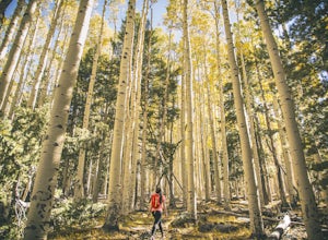
Hike the Aspen Nature Loop at Humphrey's Peak
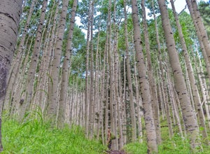
5.01.8 mi / 300 ft gainThis is a great hike that has amazing views at all times of the year. This trail might be closed for skiing season, but I am not sure. I went in October, just before Halloween and the weather was perfect. The leaves were changing and there was a nice brisk breeze. The short loop makes it accessib...Read more -
Yavapai County, Arizona
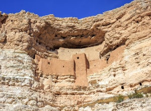
Explore Montezuma's Castle National Monument
4.6Montezuma Castle is actually one of the United State's first National Monuments. This five story 50 room cliff dwelling is one of the best preserved in all of North America. There is a short interpretive walk along the cliff in which one can see the many remnants of the previous inhabitants.The S...Read more -
Flagstaff, Arizona
Abineau-Bear Jaw Loop
5.07.04 mi / 2031 ft gainThis trail is slightly more hidden on the northern slope of the San Francisco Peaks, but well worth the drive just outside of Flagstaff. Do it during the last week of September, when summer gives it’s last wave goodbye in a spectacle of electric yellow aspen groves. With the exception of occasion...Read more -
Clarkdale, Arizona
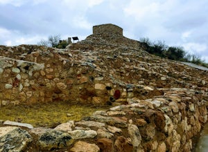
Hike the Tuzigoot Trail
4.50.5 mi / 55 ft gainSpend a couple of hours to discover the incredible legacy of an ancient people at Tuzigoot National Monument. Start at the Visitor Center, then take a self-guided, half mile loop trail that will lead around and through an incredible 110 room pueblo. The large building was home to the Sinagua peo...Read more -
Camp Verde, Arizona
McDonald Trail
4.00.83 mi / 351 ft gainMcDonald Trail is an out-and-back trail that in Coconino National Forest located near Camp Verde, Arizona.Read more

