Morristown, Arizona
Top Spots in and near Morristown
-
Phoenix, Arizona
Shadow Mountain Loop
2.07 mi / 600 ft gainShadow Mountain Loop is a loop trail that takes you past scenic surroundings located near Phoenix, Arizona.Read more -
Black Canyon City, Arizona
Castle Creek Road to Cleator
4.010.59 mi / 1677 ft gainCastle Creek Road to Cleator is a point-to-point trail where you may see beautiful wildflowers located near Black Canyon City, Arizona.Read more -
Black Canyon City, Arizona
Government Springs Trail
5.011.04 mi / 741 ft gainGovernment Springs Trail is a loop trail that takes you by a river located near Mayer, Arizona.Read more -
Black Canyon City, Arizona
Zig Zag Trail
3.04.61 mi / 436 ft gainZig Zag Trail is a loop trail that takes you by a river located near Canyon City, Arizona.Read more -
Scottsdale, Arizona
Pima and Dynamite Loop
5.050.27 mi / 2136 ft gainPima and Dynamite Loop is a loop trail that provides a good opportunity to view wildlife located near Scottsdale, Arizona.Read more -
Black Canyon City, Arizona
Richinbar Mine and Pueblo Trail
5.02.36 mi / 92 ft gainRichinbar Mine and Pueblo Trail is a loop trail where you may see beautiful wildflowers located near Crown King, Arizona.Read more -
Phoenix, Arizona
Mojave Trail #200
4.51.88 mi / 430 ft gainThe entrance for the Piestewa Peak area is located at 2701 E. Squaw Peak Drive. The Mojave Picnic Area & Trailhead is the first parking area on the right. This is a very popular trail when the outside temps drop a bit so get there early for sunset hikes to ease parking. The trail begins on t...Read more -
Scottsdale, Arizona
Pinnacle Peak Trail
4.43.87 mi / 896 ft gainPinnacle Peak is a 3.8 mile out-and-back hike along a beautifully groomed trail with a moderate gain of ~1,000ft. This distinctive 600ft granite summit can be seen from most of the surrounding valley and offers spectacular views of the McDowell Mountains, iconic Four Peaks, Granite Mountain and t...Read more -
Black Canyon City, Arizona
Explore Pueblo La Plata
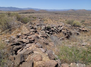
0.25 miPueblo La Plata is the largest ancient Indian ruin in Agua Fria National Monument and dates back to before 1200 A.D. The ruin at one time had 80 to 90 rooms for living quarters. Now the sight seems like just a pile of rubble. However there is significant research continuing on the mesa of Agua Fr...Read more -
Scottsdale, Arizona
Upper Ranch and Brown's Ranch Road Trail
3.98 mi / 154 ft gainUpper Ranch and Brown's Ranch Road Trail is a loop trail where you may see wildflowers located near Scottsdale, Arizona.Read more -
Phoenix, Arizona
Piestewa Peak Summit
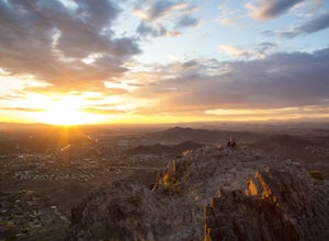
4.42.25 mi / 1050 ft gainPiestewa Peak, formerly known as Squaw Peak and conveniently located in the heart of the Phoenix metropolitan area, is a relatively short hike that yields impressive views of the city and is a perfect spot to watch the sunset. Piestewa Peak is a popular spot for locals who do not want to drive or...Read more -
Phoenix, Arizona
Freedom Trail Loop
5.03.8 mi / 1093 ft gainAs the third longest trail in the Phoenix Mountain Preserve, the Freedom Trail provides a great option for those looking for a longer hike, which can also be made even a bit longer by bolting on the Piestewa Summit hike along the way (adds 1.2 miles additional and a view from the top!). Many look...Read more -
Phoenix, Arizona
Mojave Connector Trail #202
2.18 mi / 820 ft gainThe best starting point to access this hike is parking at the Mojave Picnic Area and heading up the Mojave Trail #200. At .4 miles, you will hit the junction and stating point for the Mojave Connector Trail. Head left at the saddle and begin a rapid ascent up switchbacks to a small flattened summ...Read more -
Black Canyon City, Arizona
Badger Springs Wash Trail
5.01.48 mi / 98 ft gainBadger Springs Wash Trail is an out-and-back trail that takes you by a waterfall located near Cordes Junction, Arizona.Read more -
Black Canyon City, Arizona
Hike the Badger Spring Wash Trail
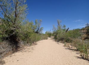
3.54 miBadger Spring Wash is a dry stream bed most of the year. This trail starts from the Badger Spring Trailhead just off Route 17 north from Phoenix. The trail follows the stream bed, sometimes in or along side for 1.5 miles. At about one mile, you reach the spring and a good amount of water which is...Read more -
Phoenix, Arizona
Ruth Hamilton Trail
3.32 mi / 981 ft gainRuth Hamilton Trail is an out-and-back trail where you may see beautiful wildflowers located near Phoenix, Arizona.Read more

