Page, Arizona
Looking for the best hiking in Page? We've got you covered with the top trails, trips, hiking, backpacking, camping and more around Page. The detailed guides, photos, and reviews are all submitted by the Outbound community.
Top Hiking Spots in and near Page
-
Marble Canyon, Arizona
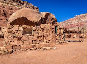
Explore the Cliff Dwellers in Marble Canyon
4.00.5 mi / 0 ft gainThe Cliff Dwellers is a unique tale that takes place the same year Prohibition began. Bill & Blanche Russel were driving through Marble Canyon when their automobile broke down. After several attempts to fix it, they found themselves camping overnight. As the sun rose the next day, they ironi...Read more -
Marble Canyon, Arizona
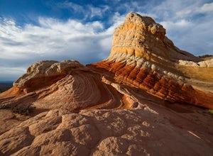
Hike to the White Pocket
5.04 miWhite Pocket is extremely difficult to access due to the road leading to it. There are sections with very deep, soft sand going uphill! You must have a high clearance 4WD vehicle and air down your tires to have any hope of making it here. Do not take this lightly, a tow bill will cost you a minim...Read more -
Kanab, Utah
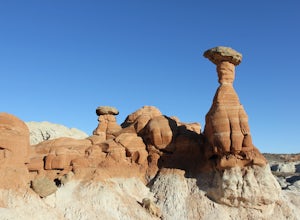
Hike to the Toadstools Hoodoos
5.01.8 mi / 141 ft gainLocated just off of the side of the US-89 highway between Springdale and Page (about 40 miles east of Kanab) you'll probably drive right past this park and have to pull a u-turn (I did!), but it's worth the stop! Keep your eyes out on the North side of the highway for a little parking lot with a ...Read more -
Kanab, Utah
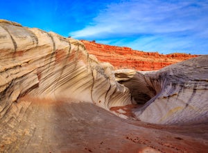
Hike to the Nautilus
4.30.5 miLike the submarine in Twenty Thousand Leagues Under The Sea, Jules Verne called it "A Masterpiece Containing Masterpieces." The Nautilus, what some say is shaped like a corkscrew or a sea shell, is a white sandstone formation with multiple colors, shapes and textures. This makes it a great place ...Read more -
Kanab, Utah
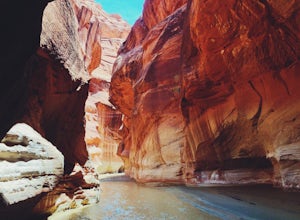
Hike through Paria Canyon
5.014.94 mi / 846 ft gainNo matter how far you plan on hiking, it is ideal to get an early start so you aren’t hiking too long under the desert sun. There is no shade on this hike except for the shadows offered from the steep walls of the canyon, so make sure you bring sunscreen! From the very start, you’ll get your fee...Read more -
Kanab, Utah
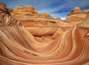
The Wave via Coyote Buttes North
5.05.41 mi / 755 ft gainThe hike to the Wave is 2.5 miles (one-way). When you arrive, take in the sandstone showing incredible striations of red, orange, pink, yellow, and beige. Please note that this adventure is only accessible by obtaining a permit. Only 20 visitors are allowed access per day with 10 permits given on...Read more -
Kanab, Utah
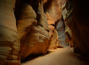
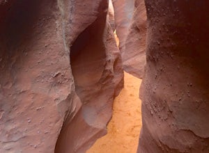
Wire Pass Slot Canyon
4.63.75 mi / 325 ft gainWire Pass is a hike through a scenic slot canyon that is often overlooked due to its close proximity to the very famous Wave. Unlike the "Wave" a permit is not required to make the hike, only a day use fee at the trailhead. Be sure to check local weather for rainfall and please do not go on this ...Read more -
Kanab, Utah
Hike Buckskin Gulch, Vermillion Cliffs Wilderness
4.615 miBuckskin Gulch is a natural wonder. At 15 miles long it is the longest slot canyon in the world. It sometimes is as narrow as 2ft. Because of the nature of this canyon and Utah topography this canyon is subject to deadly flash flood if it rains anywhere along the headwaters. Be sure to check in w...Read more -
Marble Canyon, Utah
Hike the Buckskin Mountain Passage from Stateline Campground on the Arizona Trail
8 mi / 1400 ft gainDepending how you approach this 800 mile trail, I did the first 4 miles or last 4 miles as an out and back from Stateline Campground on the Utah/Arizona state line and the border of Vermilion Cliffs National Monument. This section of the trail does not pass through Vermilion Cliffs N.M. b...Read more -
Kane County, Utah
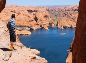
Reflection Canyon
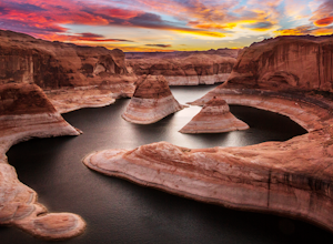
5.015.24 mi / 1368 ft gainBackpacking Reflection Canyon is not for the faint of heart. It's an intense, challenging hike that takes you through slot canyons, climbing up and down shifty sandstones and traversing rugged terrains and ravines. Although the elevation gain is almost nothing, the up and down climbs from one rav...Read more -
Kanab, Utah
Explore Pahreah Ghost Town
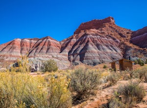
5.0Pahreah was a townsite established along the Escalante River in 1870's. The town grew to include a general store, church, and enough homes to house 47 families at its peak. Due to the close proximity to the Escalante River, the town was flooded every year from 1883 to 1888, washing away crops and...Read more -
Kane County, Utah
Hike to Broken Bow Arch
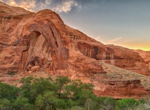
4.76.28 mi / 732 ft gainThe trailhead starts at the Willow Gulch Trailhead, located just off of Hole in the Rock Road in the Grand Staircase -Escalante National Monument. The coordinates for the trailhead are 37.324812,-111.023019. To get there head east on highway 12 out of Escalante, Utah until you get to Hole in the ...Read more -
Kane County, Utah
Hike Hole in the Rock
5.0Hole in the Rock is a historic site in Utah where the Mormon Pioneers had to dynamite a path down the mountain to get through to the Colorado River. The pathway at Hole in the Rock is still cleared out, and you get to hike through the path that these enduring people traveled, bringing wagons down...Read more -
Kane County, Utah
Peek-a-Boo and Spooky Canyons
4.75.44 mi / 584 ft gainThis hike is located in the Grand-Staircase-Escalante Monument and the nearest town is Escalante, Utah. From Escalante, you take Hole-in-the-Rock Road 26 miles to the Dry Fork road turn-off. The Hole-in-the-Rock road It is a dirt road, and while I did see some sedans and minivans, I suggest a veh...Read more -
Kane County, Utah
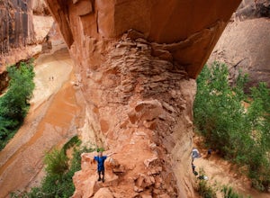
Day Hike Crack-in-the-Wall to Jacob Hamblin Arch in Coyote Gulch
5.011 mi / 2000 ft gainDrive to Hole in the Rock Road outside of Escalante UT. Drive SE down the all-dirt Hole in the Rock Road for 36 miles to a signed turn off on your left. The road can be sandy and bumpy from here, so consider the car you're using. Travel NE for 7 miles to the 40 Mile Ridge TH. From Here, follow a ...Read more -
Kane County, Utah
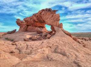
Sunrise Arch
The trailhead starts at Coyote Gulch Trailhead in the Grand Staircase - Escalante National Monument. There is actually no trail to the arches but they are pretty easy to find and even easier with a GPS. The coordinates are Sunrise Arch = 37.382214,-111.04838 and Sunset Arch = 37.38191,-111.048397...Read more

