Parks, Arizona
Top Spots in and near Parks
-
Sedona, Arizona
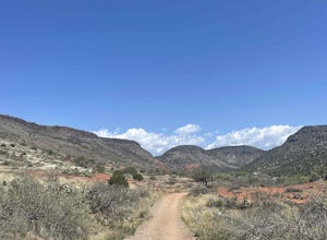
Hike the Baldwin Trail
3.3 mi / 105 ft gainAs with most areas in Sedona, you will need to have purchased a Red Rock Pass to park at the trailhead, which is located just south of Verde Valley Road. The trailhead, starting at an elevation of 3,950 feet, is well marked and the trail is defined. You have an option to either hike clockwise or ...Read more -
Sedona, Arizona
Chapel Trail to Broken Arrow Trail to Mystic Trail Loop
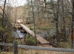
3.77 mi / 446 ft gainChapel Trail to Broken Arrow Trail to Mystic Trail Loop is a loop trail that takes you by a river located near Sedona, Arizona.Read more -
Sedona, Arizona
Cathedral Rock
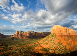
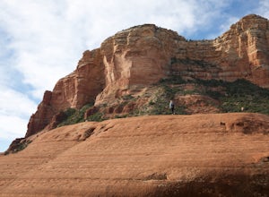
4.91.7 mi / 925 ft gainCathedral Rock is one of the most popular landmarks in Arizona. This amazing rock formation is located in Sedona, Arizona. The hike is steep and requires a bit of climbing in some spots. The 1.5 miles roundtrip is pretty strenuous, leading you up a moderately steep incline, but well worth the re...Read more -
Sedona, Arizona
Templeton Trail to Oak Creek
5.02.05 mi / 358 ft gainBeginning at the Cathedral Rock trailhead down Back O' Beyond Rd., this path at the base of the Cathedral Rock climb takes the hiker down into a lush, tree covered area perfect for swimming and enjoying the views of red rock above and all around. Start by heading up the main trail, and as you eme...Read more -
Sedona, Arizona
Hiking Kisva Trail in Red Rocks State Park
4.01.3 mi / 62 ft gainThis easy hike features a lovely creek and the beautiful red rocks of Sedona! This is a flat, shady, 1.3 mi hike and follows Oak Creek for a portion. Beautiful spots to stop and have a picnic or just relax and watch the birds. Lots of signage, and great to do with kids of all ages. If you’r...Read more -
Flagstaff, Arizona
Camp at Pine Grove Campground
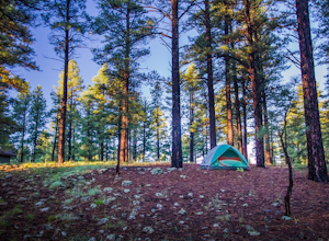
Pine Grove Campground in Flagstaff Arizona is a hidden gem. Upper and Lower Lake Mary, Ashurst, Marshall and Kinnikinick lakes are nearby and can provide ample recreational activities.The campsites are clean and have all the luxurious amenities (Coin-operated showers, tables, fire rings and cooki...Read more -
Sedona, Arizona
Hike or Bike the Hiline Trail in Sedona
5.08 mi / 480 ft gainStart this incredible hike by parking at the Yavapai Point parking lot. Start the short hike (0.13 miles) on the Kaibab Trail which will run into Yavapai Vista Trail (0.27 miles) towards the Slim Shady Trail. Here you will have an incredible view of Bell Rock and Courthouse Vista an excellent pla...Read more -
Sedona, Arizona
Bell Rock Trail
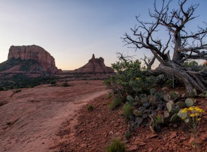
4.60.78 mi / 210 ft gainThe Bell Rock Trail in Sedona is a relatively easy hike with a majestic reward. It is a well maintained trail that with plenty of views to keep your eyes happy. Don't be surprised if you catch yourself turning around every 5 minutes and saying, "wow, this is gorgeous!" The trail itself is only ~...Read more -
Sedona, Arizona
Courthouse Butte Loop
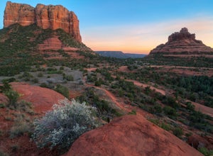
5.03.83 mi / 331 ft gainWhile most people stop to hike the Bell Rock Trail, you can get away from the congestion and madness by tackling the nearby Courthouse Butte trail. This moderate hike is 4.5 miles roundtrip over relatively flat ground on a well maintained trail. To get to the trailhead, park in the Courthouse V...Read more -
Sedona, Arizona
Baby Bell Rock
5.01.03 mi / 112 ft gainAt roughly a 1 mile loop, the Bell hike is a short but very sweet hike with high reward, it's an amazing spot to sit an watch the sun dip below the horizon and if you're lucky, may even have the view to yourself. Accessing the hike is best started at the Bell Rock Parking lot, if you're heading ...Read more -
Clarkdale, Arizona
Hike the Tuzigoot Trail
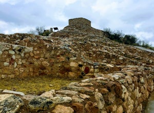
4.50.5 mi / 55 ft gainSpend a couple of hours to discover the incredible legacy of an ancient people at Tuzigoot National Monument. Start at the Visitor Center, then take a self-guided, half mile loop trail that will lead around and through an incredible 110 room pueblo. The large building was home to the Sinagua peo...Read more -
Flagstaff, Arizona
Camp at Ashurst Lake
Ashurst Lake is South East of Flagstaff and not too far from Mormon Lake. It's an easy drive that any car can do. There is a a short section of well-maintained dirt road. Keep in mind the current fire regulations for the area as well as the lake's water level if you're panning to launch your boat...Read more -
Flagstaff, Arizona
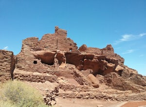
Hike the Wupatki Pueblo Trail
5.00.4 mi / 85 ft gainStart your hike from the visitor center and walk the path down to the different ruins. Take time to explore the ruins and admire the surrounding scenery. The path is rather uneven in certain places and require some caution.Read more -
Yavapai County, Arizona
Bell Trail
7.12 mi / 591 ft gainBell Trail is an out-and-back trail that takes you by a river located near Rimrock, Arizona.Read more -
Yavapai County, Arizona
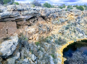
Hike to Montezuma's Well
5.00.5 mi / 117 ft gainThis trail takes you to the rim of Montezuma Well, a massive collapsed limestone sinkhole. The springs at the bottom of the sinkhole feed a large pond which supports a unique aquatic habitat in this dry landscape. Scientists are still baffled as to the origin headwaters of the water within this c...Read more -
Leupp, Arizona
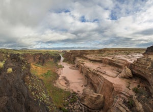
Grand Falls (CLOSED)
4.31.2 mi / 246 ft gainGrand Falls is closed indefinitely as of February 2023. Please visit leupp.navajochapters.org for more updates. Grand Falls is located about 30 miles northeast of Flagstaff Arizona in Navajo Nation. Even though its only 30 miles from Flagstaff you’ll still have about an hour drive to the falls...Read more

