Payson, Arizona
Looking for the best hiking in Payson? We've got you covered with the top trails, trips, hiking, backpacking, camping and more around Payson. The detailed guides, photos, and reviews are all submitted by the Outbound community.
Top Hiking Spots in and near Payson
-
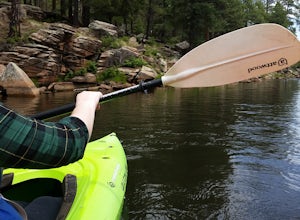
Woods Canyon Lake, Arizona
Kayak Woods Canyon Lake
5.0Is there any better way to spend a Saturday, then paddling on a glassy, peaceful lake? You can rent kayaks at the Woods Canyon Lake Marina, or bring your own (if you’re bringing your own kayak, make sure you bring a PFD too, as it’s Arizona law). One of the best parts of this lake is that w...Read more -
Payson, Arizona
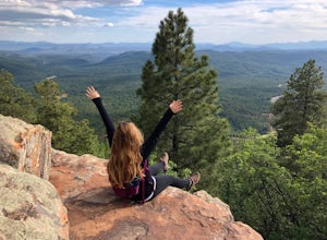
Hike on Rim Lakes Vista Trail #622
3.5 miThis heavily trafficked, easy trail leads along the edge of the Mogollon Rim, with spectacular views. There are lots of places for photos, but make sure to be very careful, as it’s more than a 200 ft drop! The first ½ mile of the trail is paved, making it easy for all ages to enjoy. But again, ...Read more -
Mayer, Arizona
Verde Rim Loop Trail
14.32 mi / 2631 ft gainVerde Rim Loop Trail is a loop trail where you may see beautiful wildflowers located near Camp Verde, Arizona.Read more -
Camp Verde, Arizona
The Bull Pen
5.01.87 mi / 92 ft gainThis trail starts at the end of Bullpen Rd and your adventure begins in beautiful thickets of trees and plants. The going is easy and the tempting sound of rushing water is on your right as you continue parallel to West Clear Creek. The trail will veer left up a rocky old service road but pay att...Read more -
Camp Verde, Arizona
McDonald Trail
4.00.83 mi / 351 ft gainMcDonald Trail is an out-and-back trail that in Coconino National Forest located near Camp Verde, Arizona.Read more -
Black Canyon City, Arizona
Explore Pueblo La Plata
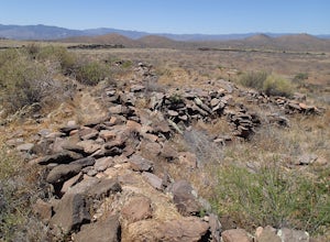
0.25 miPueblo La Plata is the largest ancient Indian ruin in Agua Fria National Monument and dates back to before 1200 A.D. The ruin at one time had 80 to 90 rooms for living quarters. Now the sight seems like just a pile of rubble. However there is significant research continuing on the mesa of Agua Fr...Read more -
Tonto Basin, Arizona
Hike to Brown's Peak
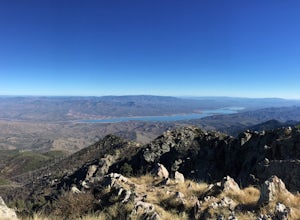
5.06 mi / 1957 ft gainStarting at the trailhead you will begin hiking through oak trees and forest. At numerous times throughout the hike Roosevelt Lake can be seen to the northwest. Approximately 3 miles into your hike you will reach a small campsite in the saddle of the mountain. This is your turnaround point if you...Read more -
Yavapai County, Arizona
Bell Trail
7.12 mi / 591 ft gainBell Trail is an out-and-back trail that takes you by a river located near Rimrock, Arizona.Read more -
Yavapai County, Arizona
Hike to Montezuma's Well
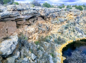
5.00.5 mi / 117 ft gainThis trail takes you to the rim of Montezuma Well, a massive collapsed limestone sinkhole. The springs at the bottom of the sinkhole feed a large pond which supports a unique aquatic habitat in this dry landscape. Scientists are still baffled as to the origin headwaters of the water within this c...Read more -
Young, Arizona
Camping on Roosevelt Lake Overlook
5.0Stumbled upon this phenomenal spot while dual-sporting through the Sierra Ancha range.Turning off 188 the Globe-Young Highway winds down into a valley and crosses the Salt River before passing some small homesteads and farms. It then climbs into the foothills of the Sierra Ancha mountain range. A...Read more -
Camp Verde, Arizona
Copper Canyon Loop Trail 504
5.03.75 mi / 384 ft gainCopper Canyon Loop Trail 504 is a loop trail that takes you by a waterfall located near Camp Verde, Arizona.Read more -
Roosevelt, Arizona
Visit Tonto National Monument
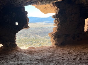
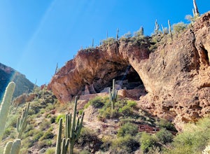
3.71.5 mi / 305 ft gainExplore two remarkably preserved American Indian cliff dwellings that date back to the 13th century. Set within a shelter bluff on the side of steep cliffs, the Upper and Lower Cliff Dwellings are well protected, and have great views of the surrounding Sonoran Desert. If you get to the park early...Read more -
Cave Creek, Arizona
Elephant Mountain Fortress Hike
5.05.5 mi / 867 ft gainThis hike beings at Spur Cross Ranch in Cave Creek, which is a lush riparian area flowing with Saguaros. Starting at the trailhead, you will start this loop by hiking clockwise on Tortuga trail which will connect with the Elephant Mountain trail at 1.5 miles. As you start to ascend the Elephant M...Read more -
Scottsdale, Arizona
Upper Ranch and Brown's Ranch Road Trail
3.98 mi / 154 ft gainUpper Ranch and Brown's Ranch Road Trail is a loop trail where you may see wildflowers located near Scottsdale, Arizona.Read more -
Black Canyon City, Arizona
Badger Springs Wash Trail
5.01.48 mi / 98 ft gainBadger Springs Wash Trail is an out-and-back trail that takes you by a waterfall located near Cordes Junction, Arizona.Read more -
Black Canyon City, Arizona
Hike the Badger Spring Wash Trail
3.54 miBadger Spring Wash is a dry stream bed most of the year. This trail starts from the Badger Spring Trailhead just off Route 17 north from Phoenix. The trail follows the stream bed, sometimes in or along side for 1.5 miles. At about one mile, you reach the spring and a good amount of water which is...Read more

