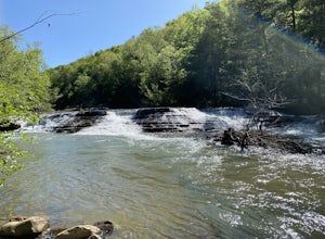
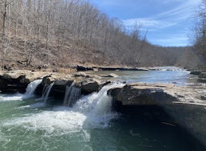
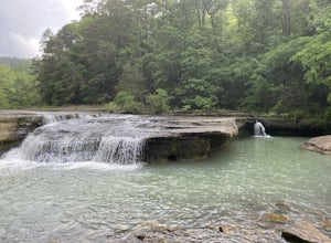
Arkansas
Looking for the best hiking in Arkansas? We've got you covered with the top trails, trips, hiking, backpacking, camping and more around Arkansas. The detailed guides, photos, and reviews are all submitted by the Outbound community.
Top Hiking Spots in and near Arkansas
-
Jasper, Arkansas
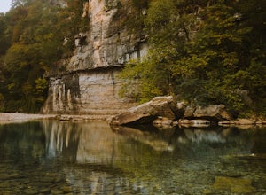
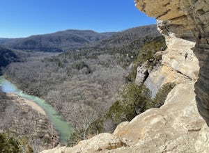
Buffalo River Trail: Ponca to Steel Creek
4.35 mi / 1079 ft gainStart this adventure by crossing the Ponca Low Water Bridge over the beautiful Buffalo National River and proceed up the path till you reach the trail sign on the other side. You have the option of going either right or left at this point, follow the sign to the left and you will see a gate (sim...Read more -
Hagarville, Arkansas
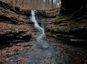
Hike to V Slot Falls, Bear Creek Canyon
2.5 mi / 600 ft gainFind County Road 1802 in Hagarville, Arkansas off of Arkansas Hwy 123. Travel about 2.2 miles down the road and park. Coordinates 35.68642, -93.17392You'll start hiking west and should find yourself on the right hand side of wet weather ravine. Look closely as you follow this ravine, you'll see p...Read more -
Hot Springs, Arkansas
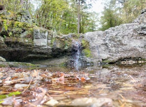
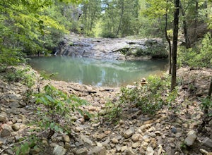
Falls Creek Falls via Falls Branch Trail
4.31.6 mi / 210 ft gainThe 3 trailheads to get to the Falls Branch waterfall can all be accessed within Lake Catherine SP. Follow the main road to the very end of the park, passing the amphitheater just before you reach the trail's parking lot. The three trails you can take to reach the Falls are Falls Branch Trail, Ho...Read more -
Little Rock, Arkansas
Hike The Rock Valley & East Quarry Trail, Pinnacle Mountain SP
5.02.5 mi / 500 ft gainThe Rock Valley Trail and East Quarry Trail trailheads can be found on the Southeast side of the vistors center parking lot (Make sure the take the small walk up the stairs to the nearby overlook before your hike). This portion of the trail is heavily wood and is easy to moderate with little incl...Read more -
Mena, Arkansas
Lovers' Leap Trail
1.07 mi / 203 ft gainThis is a one mile loop trail with the trailhead right outside the lodge at Queen Wilhelmina State Park in the Ouachita National Forest. It is an easy walk with many places to stop and a mostly, level path. If you begin on the north side of the lodge by the sign, you will end up taking a steep, ...Read more -
Kingston, Arkansas
Hike Big Spring Trail
5.5 mi / 500 ft gainBig Spring Trail is located in Smith Creek Preserve just south of Boxley, Arkansas. There is a small parking area at the entrance. Detailed maps of the area provided by The Nature Conservancy can be found just past gate. Walk through the gate and begin your hike with a steady decline down the s...Read more -
Huntsville, Arkansas
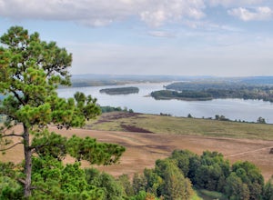
Kings River Overlook
5.01.2 mi / 145 ft gainThis is a great family hike short enough for little ones but with enough features to keep little ones engaged. From the parking area, it's about .6 miles on a relatively flat, well-marked trial to the overlook. (Plenty of room to step off trail for social distancing) We went in April with thre...Read more -
Batesville, Arkansas
Climb at Jamestown Crag
5.0Jamestown Crag is just a few minutes south of Batesville and is one of the largest, most exposed areas of Atoka sandstone in Northeast Arkansas. There are 70+ well bolted sport routes ranging in difficulty from 5.5 to 5.13. The crag offers many top rope and lead routes, the tallest of which being...Read more -
Compton, Arkansas
Centerpoint to Goat Trail
5.82 mi / 1001 ft gainCenterpoint to Goat Trail is an out-and-back trail that takes you by a river located near Ponca, Arkansas.Read more -
Dardanelle Township, Arkansas
Rim Trail and Bench Trails Loop
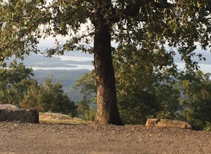
7.6 mi / 702 ft gainI did two loop trails (Rim Trail and Bench Trail). Mileage reflects combination of both trails plus the distance hiking between the two near sunset point. Cost to camp in a hike-in site is ~$13/night. You can't reserve a hike-in spot in advance, but they are very under utilized. I'm pretty sure ...Read more -
Fenter Township, Arkansas
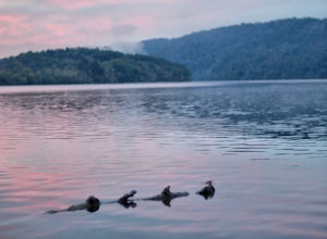
Camp at Lake Catherine State Park
Lake Catherine State Park offers fully-equipped cabins, over 60 tent and RV campsites, and a small marina selling everything you need for a perfect day on the lake. The beautiful tree covered campground offers a swimming beach, picnic sites, playgrounds and hiking trails. The park also offers int...Read more -
Plainview, Arkansas
Forked Mountain Falls
5.02.98 mi / 223 ft gainForked Mountain Falls is an out-and-back trail that takes you by a waterfall located near Perryville, Arkansas.Read more -
Witts Springs, Arkansas
Six Finger Falls
5.00.03 mi / 0 ft gainSix Finger Falls is an out-and-back trail that takes you by a waterfall located near Witts Springs, Arkansas.Read more -
Witter, Arkansas
Kings River Falls Trail
5.01.89 mi / 141 ft gainKings River Falls Trail is an out-and-back trail that takes you by a waterfall located near Witter, Arkansas.Read more -
Hagarville, Arkansas
Haw Creek Falls Trail
5.00.18 mi / 33 ft gainHaw Creek Falls Trail is an out-and-back trail that takes you by a waterfall located near Hagarville, Arkansas.Read more -
Van Buren, Arkansas
Crack in the Rock Trail
5.01.36 mi / 154 ft gainCrack in the Rock Trail is a loop trail that takes you by a lake located near Van Buren, Arkansas.Read more

