Alleghany, California
Looking for the best photography in Alleghany? We've got you covered with the top trails, trips, hiking, backpacking, camping and more around Alleghany. The detailed guides, photos, and reviews are all submitted by the Outbound community.
Top Photography Spots in and near Alleghany
-
Auburn, California
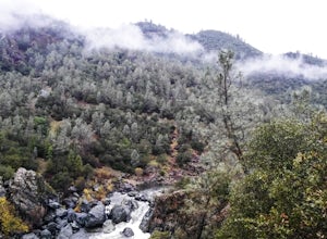
Hike the Quarry Trail in the Auburn SRA
4.011 miParking in the Auburn State Recreation Area parking lot has a cost of $10.00. Free parking is allowed on the right side of the road located on the right after driving over the bridge. From here the Quarry Trail parking lot and Trail head are a short walking distance ahead on the left side of th...Read more -
Auburn, California
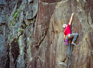
Rock Climb at the Quarry
5.02.6 mi / 800 ft gainMany thanks to the Climbing Resource Advocates for Greater Sacramento (CRAGS) and the Access Fund for their hard work in re-opening this location to make it climbing-legal. Where to Park:Put in "Parking lot for the Quarry Trail, California 193, Auburn, CA 95603"This is the designated parking lot ...Read more -
Tahoe City, California
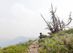
Hike the Ellis Peak Trail
5.06.3 mi / 1660 ft gainThe Ellis Peak Trail is close to North Lake Tahoe. The trail features scenic wildflowers in the spring and summer. Dogs are allowed on the trail but must be kept on leash. Directions from Truckee: Take Highway 80 south and drive to Tahoe City - continue south on Highway 89 from Tahoe City for 4....Read more -
Tahoe City, California
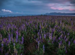
Photograph the Lupine at Lake Forest Beach
A quick walk through Lake Forest Beach in Tahoe City, California provides unparalleled opportunities to photograph expansive fields of lupine. These brilliant purple wildflowers cover the lowland shore of this public beach each summer, typically starting in mid-July through mid-August. In drought...Read more -
Homewood, California
Eagle Rock
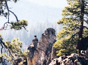
4.00.84 mi / 105 ft gainStarting at an outcrop off Highway 89 in Tahoe Pines, hikers make their way up the trail through a gradually sloping forest. Climbing rocks and logs, it is strenuous at times but only takes about 15-20 minutes to accomplish. Once at the top, the elevation is 6,286 feet and consists of an absolute...Read more -
Incline Village, Nevada
Quick Hike and Photo Op at Stateline
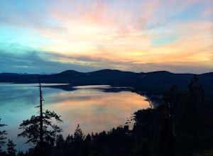
5.02 miThis quick 2-mile RT hike takes you to a lookout point above the Stateline of California and Nevada. The road to the lookout is paved so beginners can make the trek to the top in the summer; winter covers the road with snow, so snowshoes or boots are recommended. The lookout offers spectacular vi...Read more -
Kyburz, California
Hike to Bassi Falls
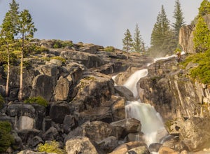
4.61.22 mi / 194 ft gain109' tall Bassi Falls is located in the Crystal Basin area of the El Dorado National Forest. These gorgeous falls at peak Springtime flow crash over enormous boulders and the water sheets over huge, flat slabs of granite. It is located off a rural, pot-holed dirt road (high clearance vehicles re...Read more -
Tahoma, California
Backpack to Crag Lake
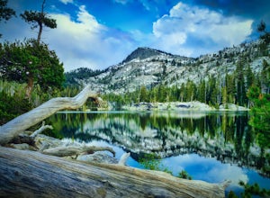
4.011.1 mi / 1220 ft gainDay 1:This trip is a great early season trip while you are waiting for the snow to melt in the high country or it could be a good first backpacking trip because of its proximity to the trailhead and the fact that it's a relatively easy hike. Also, you get to camp by a beautiful lake with a drama...Read more

