Bass Lake, California
Looking for the best photography in Bass Lake? We've got you covered with the top trails, trips, hiking, backpacking, camping and more around Bass Lake. The detailed guides, photos, and reviews are all submitted by the Outbound community.
Top Photography Spots in and near Bass Lake
-
37.741904,-119.601967
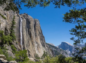
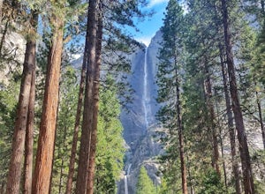
Upper Yosemite Falls
4.75.98 mi / 2700 ft gainYou can find the trailhead to Upper Yosemite Falls near Camp 4. There is plenty of free parking here and you can also take a shuttle to stop #7. Be sure to start this hike early in the day as it is strenuous and can get really hot as the day goes on. Bring plenty of water and snacks and take many...Read more -
Yosemite Valley, California
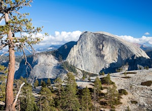
Hike the North Dome Loop via Yosemite Falls Trail
4.018 mi / 5200 ft gainOne ofthe most challenging and rewarding hikes on the northern rim of YosemiteValley. This is an alternative to the often crowdedMist, Panorama or 4-Mile Trails. Or if you are not able to grab a permit tohike Half Dome this is great choice. Some of the highlights include hiking tothe top of Nort...Read more -
Yosemite Valley, California
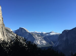
El Capitan Trail
5.014.68 mi / 5052 ft gainStart on the Yosemite Falls trailhead and work your way up. Yosemite Falls can be anywhere from a huge flow to a slow trickle depending on the time of year. Hiking boots are absolutely necessary and hiking poles are a huge benefit. Say hello to rock climbers at the top as they finish their El Cap...Read more -
YOSEMITE NATIONAL PARK, California
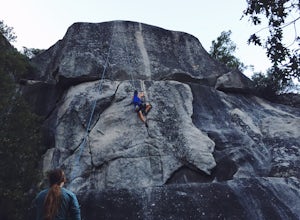
Rock Climb Penthouse Cracks, Yosemite NP
The Penthouse Cracks in Yosemite Valley are a great introduction to crack climbing, in a safe environment. With fixed protection above the routes, you are able to safely top rope these climbs. Featuring a 5.8, two 5.10 climbs, and a 5.11, everyone can find something fun to try.Park at Yosemite Lo...Read more -
Yosemite Valley, California
Sentinel Meadow Cook's Meadow Loop Trail
4.51.99 mi / 85 ft gainThis short, easy walk provides some of the best views of several iconic Yosemite landmarks from the valley floor. If you complete the entire loop, expect to see Yosemite Falls from the Swinging Bridge, Half Dome from Sentinel Bridge (a popular spot at sunset), and the historic Yosemite Chapel. ...Read more -
Mariposa County, California
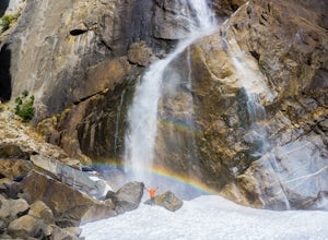
Lower Yosemite Falls
4.81.16 miAt 2,425 feet, Yosemite Falls is the highest waterfall in North America. The falls consists of three sections: Upper Falls, Middle Cascades, and Lower Falls. At 320 feet, Lower Yosemite Falls is one of the most popular attractions at Yosemite National Park. This 1-mile loop is a leisurely walk wi...Read more -
Yosemite Valley, California
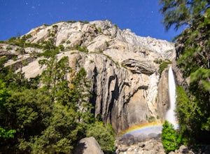
Photograph Moonbows at Yosemite Falls
1 miIn spring at Yosemite National Park, a unique phenomenon occurs, called “moonbows.” Seen during the full moon, moonbows are rainbows produced by light reflected off the surface of the moon, and are relatively faint and difficult to detect with the naked eye, but they do appear in long exposure ph...Read more -
Lakeshore, California
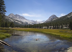
Evolution Valley via Florence Lake
4.530.36 mi / 3238 ft gainYou can get to the Evolution Basin a variety of ways, but the easiest is through the Florence Lake Trailhead. Here, you can choose to either take the Florence Lake Ferry across the lake, or save $25 and hike the extra 4 miles around the lake. Personally, I would choose the ferry. About five mile...Read more -
Mariposa County, California
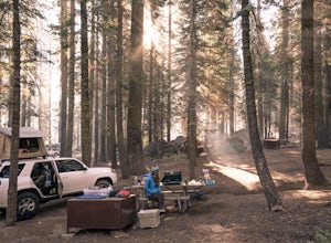
Camp at Crane Flat Campground
Crane Flat Campground is located on the Big Oak Flat Road (Highway 120) just west of Crane Flat, about 30 minutes northwest of Yosemite Valley. Sites are open July-October at $26/night. More info at https://www.nps.gov/yose/plany...Read more -
Tuolumne County, California
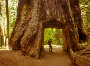
Tuolumne Grove of Giant Sequoias
4.22.67 mi / 653 ft gainThe Tuolumne Grove of Giant Sequoias is one of three sequoia groves in Yosemite National Park. This particular grove has gorgeous forest scenery and provides great solitude compared to the crowded Yosemite Valley. The trail used to be an old road offering a wide path with a gradual descent, makin...Read more -
Mariposa County, California
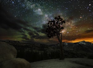
Olmsted Point
5.00.4 miJust off the side of the highway, look for the pullout for Olmsted Point on your Map. There is a parking area with about 25 parking spots and the lookout point with the tree is right next to there. Come in the summertime and during a new moon to get the best views of the Milky Way. Never crowded,...Read more -
Mariposa County, California
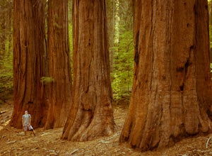
Merced Grove
5.03.32 mi / 600 ft gainMerced Grove is technically the smallest and most secluded of the three sequoia groves found in Yosemite National Park, which lends itself to be less crowded offering a peaceful solitude hike. The trailhead is located at the Merced Grove parking lot on Big Oak Flat Road. This trail begins by foll...Read more -
Mammoth Lakes, California
Agnew Meadows to Tuolumne Meadows
5.030.27 mi / 4757 ft gainUnlike most through hikes that require two cars or hitchhiking, you can accomplish this with only one car by using a YART. Another benefit is that by entering in Mammoth, it is usually much easier to get permits as opposed to starting in Yosemite where permits can be harder to get. Then once yo...Read more -
Yosemite Valley, California
Tenaya Lake
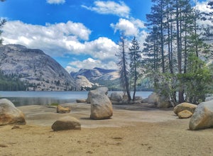
4.63.08 mi / 0 ft gainTenaya Lake is located alongside Tioga Road in the park's Tuolumne Meadows region. There is a family-friendly trail that surrounds the lake. Though some spots along the trail on the western shore may require fording the waters, the 2.5-mile trip is an easy hike for all to enjoy. Many others pre...Read more -
Mariposa County, California
Clouds Rest to Half Dome
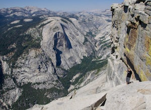
18.52 mi / 4000 ft gainBecause this is not a loop, you will need to figure out a shuttle situation. There are two options for this: 1. Drive your car to the Tenaya Lake Trail Head, and leave it parked there. Once you reach the Valley you will be car-less, but then the next day you can take one of the free shuttles u...Read more -
Madera County, California
Backpack the Shadows of the Minarets Loop
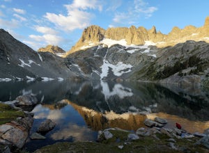
5.016 miAnsel Adams Wilderness is located in Mammoth Lakes, California. The trail to Lake Ediza is frequently traveled and is usually completed as an out-and-back day hike. In the summer, from 7am-7pm the road to the trail head is inaccessible to cars. To reach the trailhead you must take the shuttle fro...Read more

