Bishop
About this place
Bishop, California is a great destination for outdoor activities and attractions. Nestled between the Sierra Nevada to the west and the White Mountains to the east, Bishop offers a wide array of outdoor activities. For those who enjoy rock climbing, the Buttermilk Boulders and the Happy and Sad Boulders in the Volcanic Tablelands are popular destinations. These areas are not only for climbers but also offer scenic hiking trails, mountain biking routes, and opportunities for bird watching and photography. Bishop Creek Canyon, southwest of Bishop, is a natural wonderland of mountains, lakes, streams, forests, and waterfalls. It's a great place for camping, fishing, and simply enjoying the breathtaking scenery. Bishop has something for everyone, ensuring you get the most out of your trip and the beauty of nature.
Top Backpacking Spots in and near Bishop, California, United States

Bishop, CA
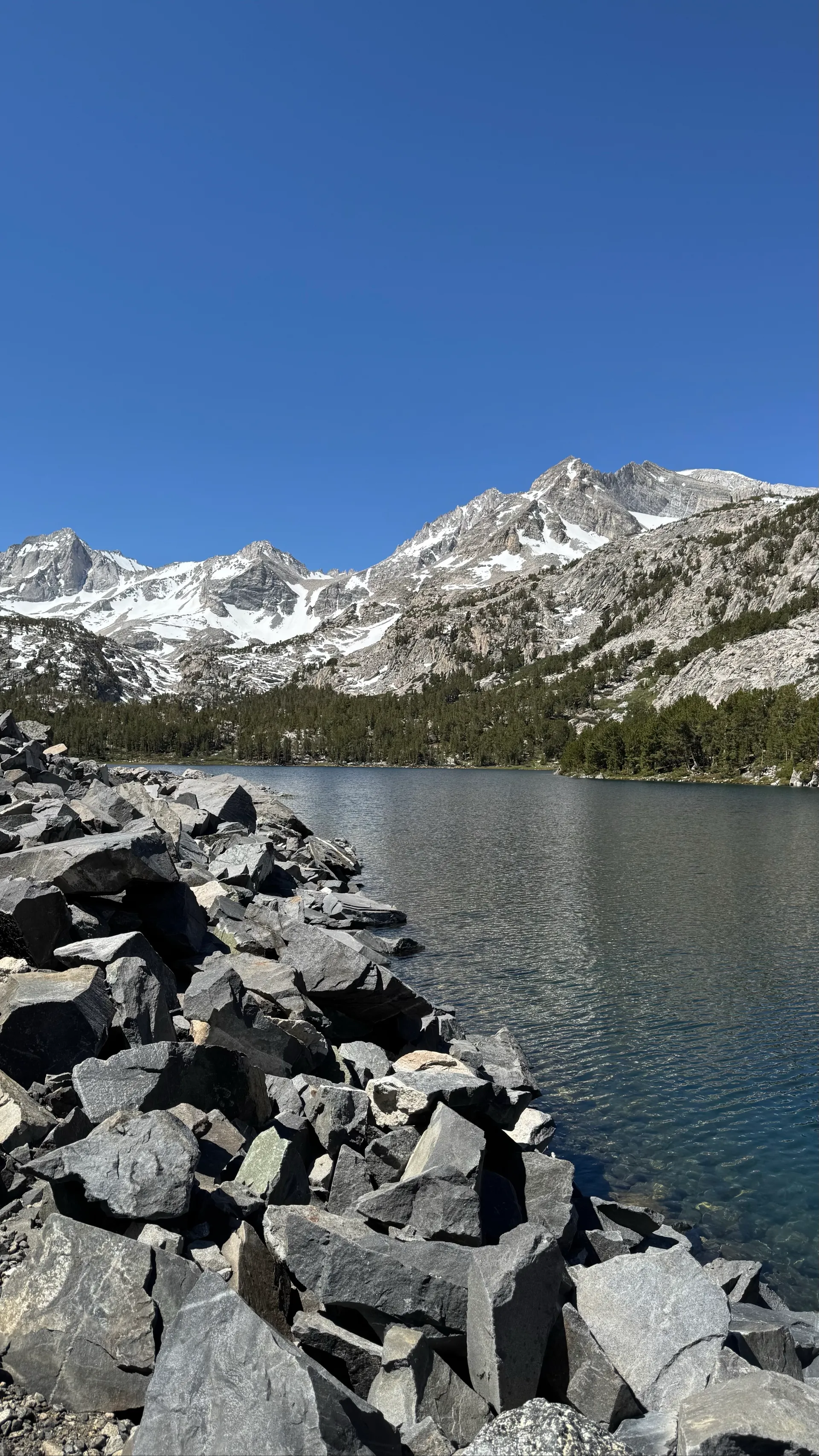
Mosquito Flats is one of the most scenic eastern gateways to the Sierra Nevada, offering breathtaking views and lush alpine scenery. This high-elevation adventure requires visitors to come well-prepared with water, sun protection such as a hat, and insect repellent to ward off mosquitoes. During ear...