Canyondam, California
Top Spots in and near Canyondam
-
Shasta County, California
Visit Sulphur Works at Lassen Volcanic NP
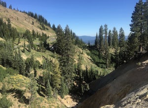
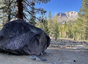
4.02 mi / 200 ft gainLassen Volcanic National Park is a wonderland of lush pine forests, arid rocky terrain, boiling lakes, snow-capped peaks, and extremely diverse wildlife. I recommend at least a week to explore this underrated national park, but if you are only driving through, you can still enjoy some of the won...Read more -
Shasta County, California
Summit Mt. Lassen via the Northeast Face
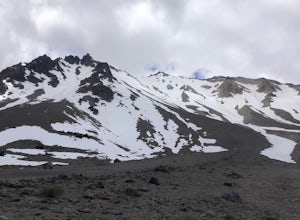
5.08 mi / 4000 ft gainThis route is perfect for those with some mountaineering skill looking to challenge themselves on either a long day climb (10-12 hours) of one of California’s most iconic peaks. 1: The approach (1500 feet of elevation gain) For the best chance of summiting, start very early, around 2-4 am. Most ...Read more -
Old Station, California
Hike to Cinder Cone
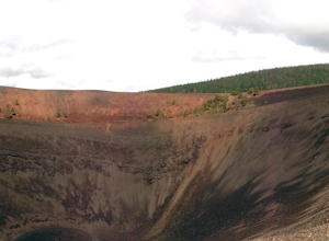
5.04 mi / 846 ft gainCinder Cone Trail For 1.2 miles, the trail gently slopes up through a forest. The Fantastic Lava Beds form a wall to your left. The Fantastic Lava Beds were formed by several eruptions of lava from Cinder Cone. The trail is mostly cinder erupted from Cinder Cone. Walking on cinder is similar to w...Read more -
Old Station, California
Hike to Snag Lake via the Cinder Cone
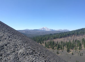
12.5 mi / 2000 ft gainStart from the Butte Lake trailhead, off Highway 44 at the north end of Lassen Volcanic National Park. From the parking lot walk past the little boat launch and the trailhead is obvious in front of you. Be mentally prepared to be walking in loose sand for most of this trip (and bring ankle or kn...Read more -
Shasta County, California
Devastated Area Interpretive Trail
2.00.5 mi / 16 ft gainDevastated Area Interpretive Trail is a loop trail that is good for all skill levels located near Old Station, California.Read more -
Shingletown, California
Hike the Chaos Crags Trail
3.8 mi / 915 ft gainManzanita Lake campground is located about 1/2 mile past the Northwest entrance of Lassen Volcanic National Park. The trailhead is located just before the campground sites about 0.1 mile off of the main road and marked with a sign (including a map) and a few parking spaces. The trail starts o...Read more -
Shasta County, California
Photograph Lassen Peak
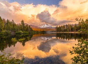
4.8Located in Northern California, Lassen Volcanic National Park is an astoundingly beautiful, diverse, yet under-appreciated park in the national park system.Manzanita Lake, located at the northwest park entrance, holds the largest campground in the park, and affords a gorgeous, photograph worthy v...Read more -
Shasta County, California
Camp out at Manzanita Lake Cabins in Lassen Volcanic NP
Deep in the Lassen National Forest is the beautiful and surprisingly one of the least visited National Parks, Lassen Volcanic National Park. On the north entrance of the park, you will find the beautiful Manzanita Lake Cabins and Campground with the gorgeous blue lake in the foreground. Getting ...Read more -
Shingletown, California
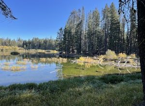
Manzanita Lake Loop
4.01.88 mi / 121 ft gainManzanita Lake Loop Trail is a loop trail that takes you by a lake located near Old Station, California.Read more -
Old Station, California
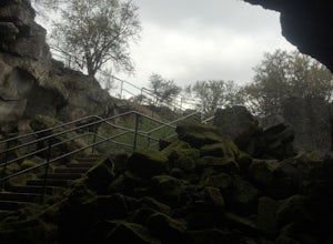
Subway Cave Lava Tubes
5.00.65 mi / 33 ft gainThe Subway Cave Lava Tube is located at Old Station in the Lassen National Forest. About 26 miles south of Burney, CA. If coming from the North, it is on Highway 89 (Volcanic Legacy Scenic Byway) on your left right before Highway 44. If coming from Redding, about 60 miles away, you would enter th...Read more -
Susanville, California
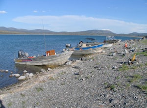
Camp at Rocky Point Primitive Camping Area
Rocky Point has a bulletin board and toilet but no developed campsites. At Rocky Point visitors must pack in and pack out all trash and waste water. A vault toilet is on site. Campers like the opportunity to "circle the wagons" and set up where they want on a large open natural gravel flat nea...Read more -
Shasta County, California
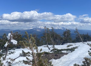
Magee Peak & Crater Peak
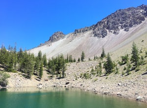
7.19 mi / 2887 ft gainThe trail to Magee Peak and Crater Peak makes for a fairly strenuous hike (mostly due to altitude). This USFS out-and-back trail has incredible views of the major peaks in the Northern California & Southern Oregon. Take in a spectacular close-up of Lassen NP and great views of Shasta, Castl...Read more -
Plumas County, California
Hike to Little Jamison Falls
3.02 mi / 500 ft gainTo get to the falls from the town of Graeagle, CA take Graeagle-Johnsville off Highway 89 towards the town of Johnsville. After 4.5 miles take a left on a dirt road to Jamison Mine Day Use Parking. If you go over the bridge and into the town of Johnsville, you have gone too far. Continue down th...Read more -
Susanville, California
Camp at North Eagle Lake Campground
North Eagle Lake has 20 sites in a pine and juniper forest. Vault toilets and drinking water are available. Some campsites can accommodate RV's up to 35 feet long. A campground host is available. The campground is located 30 miles north of Susanville on Highway 139 and a half-mile west on Lassen ...Read more -
Chico, California
Hike the Yahi Trail in Upper Bidwell Park
7.9 mi / 836 ft gainTo start this hike, find parking at Bidwell Park Parking Area E, near the Chico Rod and Gun Club. From there walk a short ways down Upper Park Road. You will see the sign for the Yahi Trail trailhead on the right. From here, simply follow the trail along the river. A reminder to those with dogs, ...Read more -
Chico, California
Monkey Face Loop
1.27 mi / 279 ft gainMonkey Face Loop is a loop trail that takes you by a lake located near Chico, California.Read more

