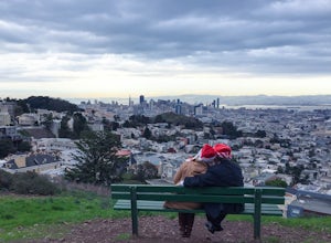
Fremont, California
Looking for the best hiking in Fremont? We've got you covered with the top trails, trips, hiking, backpacking, camping and more around Fremont. The detailed guides, photos, and reviews are all submitted by the Outbound community.
Top Hiking Spots in and near Fremont
-
Half Moon Bay, California
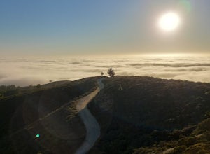
McNee Ranch to Planet of the Apes
4.88 mi / 1427 ft gainMcNee Ranch to Planet of the Apes is a 4.8 mile trail located near Montara State Beach that offers ocean views when it is not too cloudy. You can get amazing views when you hike up above the clouds. This hike follows one of the main trails up the mountain, but there are many smaller trails to e...Read more -
Half Moon Bay, California
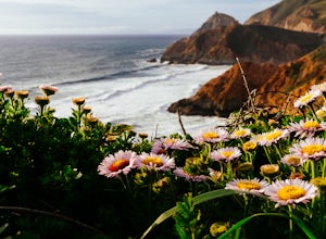
Gray Whale Cove Loop
5.01.22 mi / 518 ft gainStarting at the parking lot adjacent to Gray Whale Cove State Beach, proceed to the start sign indicating "Grey Whale Cove Trail". GWCT is a fun brisk hike with slight elevation gain that should be easy enough to take a small group or even children to. Take note of the tight spaces you may encou...Read more -
Half Moon Bay, California
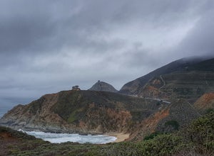
Gray Whale Cove Trail
4.52.23 mi / 367 ft gainGray whale cove trail is a splendid, short, and easy hike for the entire family with beautiful ocean views. The starting point is conveniently located near a parking lot that accesses Montara State Beach. From the south end of the parking lot, follow the trail up through the coastal scrub. Within...Read more -
Half Moon Bay, California
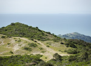
Montara Mountain North & Middle Peaks Loop
4.37.22 mi / 1929 ft gainNOTE: as of 2019, North Peak has been fenced off around the installation of a radio tower and weather station. Additionally, the summit has been found to be a habitat for the endangered San Bruno elfin butterfly. The Gray Whale Cove State Beach is a popular seaside trail that’s just 20 minutes s...Read more -
San Francisco, California
Corona Heights Park
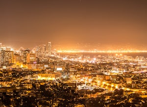
5.00.65 mi / 115 ft gainCorona Heights Park is a park located north of the Castro and South of Buena Vista Park. The peak of the hill is windy, but it offers an unobstructed panoramic view of the city of San Francisco from downtown to Twin Peaks. It is perfect for taking panoramic pictures of San Francisco at night. Y...Read more -
Moss Beach, California
Cypress Tree Tunnels at Moss Beach
4.50.79 mi / 105 ft gainThe Cypress Tree Tunnels are a quick jaunt from San Francisco (22 miles) and make for a great half-day trip. Getting here depends on traffic, but 30 minutes from the center of the city is doable. Parking is relatively easy. You can either park at the south end of the area at the Cypress Cove entr...Read more -
San Francisco, California
Vulcan Steps
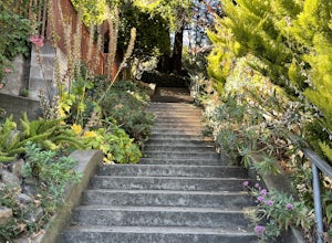
5.00.18 mi / 79 ft gainVulcan Steps is an out-and-back trail that takes you past scenic surroundings located near San Francisco, California.Read more -
Daly City, California
Mussel Rock Loop
4.01.95 mi / 322 ft gainMussel rock, a three-story, 50 million year old rock that has been carried some 500 miles northwest from Southern California, is where the San Andreas fault meets the Pacific Ocean. It's also an excellent spot to drink some wine and catch a sunset. From San Francisco, take Highway 1 south towar...Read more -
Boulder Creek, California
Hike the Old Growth Redwoods Trail
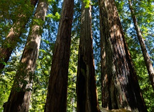
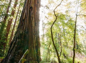
4.50.5 miQuick half-mile stroll through the old growth Redwoods that will show you the nature of the ever-living redwood tree.Redwoods are capable of withstanding storms, floods, fire, droughts, and even termites. These legendary trees can live for over 2,000 years and possess incredible strength, vigor, ...Read more -
Boulder Creek, California
Hike the Berry Creek Falls Loop
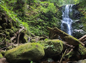
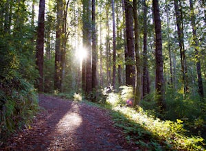
4.811 mi / 2000 ft gainNestled in California's oldest state park, the popular Berry Creek Falls Loop hike begins at the Big Basin park headquarters. If you're up for 11 miles, a thousand feet of elevation gain through towering redwoods and along serene creeks, and spread out over a half-day, then this is the hike for y...Read more -
Boulder Creek, California
Camp at Big Basin Redwoods State Park
4.00.5 miBig Basin is currently closed including the campgrounds. Please visit the Parks.ca.gov site for updated details. An hour away from the thrumming city of San Jose, ancient immense trees live in a forest full of vibrant ferns and rushing waterfalls. Big Basin Redwoods State Park encompasses 10,00...Read more -
Boulder Creek, California
Hike the Ocean View Summit Loop
4.06 mi / 600 ft gainThis hike begins at the Big Basin park headquarters. If you're up for 6 miles through giant redwoods and along serene creeks, and with an ocean view, then this is the hike for you. Ocean view summit loop starts on the Gazos Creek Road bridge, next turn right on to the Middle Ridge Fire Road, whic...Read more -
Boulder Creek, California
Big Basin's Sunset Trail Camp
4.89.46 mi / 2146 ft gainThis trail and campsite is currently closed (learn more). Looking for a more authentic hiking and camping weekend, without having to drive hours away to find it? Then the Sunset Trail Camp within Big Basin Redwoods SP is your ticket. To access this site, you'll need to hike the famous Skyline-to...Read more -
Moss Beach, California
Fitzgerald Marine Reserve
5.00.89 mi / 46 ft gainLocated beside a residential neighborhood, Fitzgerald Marine Reserve offers a rare glimpse of life in the northern California intertidal zones. There are parking spaces and restrooms available, as well as ranger-led guided tours. Be sure to check the tide charts and go during low tide (preferab...Read more -
Boulder Creek, California
Hike to Sempervirens Falls
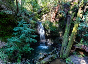
4.02.1 mi / 100 ft gainThe hike to Sempervirens Falls is an easy 2.1 mile out-and-back hike on the Sequoia Trail. You'll travel through the redwood forest and some of the campgrounds located in Big Basin State Park. The hike is pleasant but on occasion, you'll be too close to the road to feel like you're deep in the wi...Read more -
San Francisco, California
Tank Hill
4.30.14 mi / 49 ft gainLooking for a cool, under-the-radar spot that’s perfect for picnics, chilling out, and chasing the sunset? Look no further than Tank Hill. This little gem of a mini-park is 650 feet high and tucked away in Cole Valley. It’s so small that many maps of San Francisco don’t even include it. To get ...Read more

