Hayward, California
The best Trails and Outdoor Activities in Hayward, California offer a mix of scenic beauty and outdoor adventures. A must-visit is the East Bay Skyline National Trail, a challenging 31-mile trek offering panoramic views of the San Francisco Bay. Along the way, you'll pass by Lake Chabot, a popular spot for fishing and boating. For a shorter hike, the 3.5-mile loop around Don Castro Regional Recreation Area is perfect. It features a beautiful reservoir and lush greenery. Another top trail is the Hayward Shoreline Interpretive Center's trail, where you can spot a variety of bird species. For a unique outdoor attraction, visit the Hayward Japanese Gardens, the oldest Japanese-style residential garden in the Western Hemisphere. These spots provide a range of outdoor activities for all levels of hikers and nature explorers.
Top Spots in and near Hayward
-
Santa Cruz, California
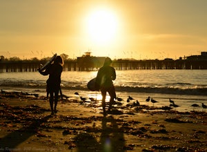
Surf Cowell's Cove
4.8Cowell's Cove is located just south of Santa Cruz’s iconic Steamer Lane. The break is a slow pealing right, and is a very user-friendly wave for beginners. It can get crowded on weekends, especially when it's sunny, but no need to worry, there are a lot people out on foam boards and most are begi...Read more -
Santa Cruz, California
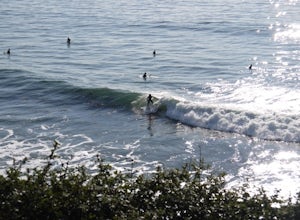
Surf the Hook
4.0The hook is a surf spot found on the east side of Santa Cruz, located along East Cliff drive. If you keep driving past Pleasure Point, you'll get to it. It's a right hand point break that is usually smaller in size than Pleasure Point. It's a very crowded spot due to the easy access parking lo...Read more -
Santa Cruz, California
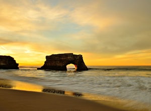
Natural Bridges State Beach
4.3Natural Bridges State Beach is a wonderful place to photograph located in Santa Cruz off of West Cliff Drive. This is a great place to practice long exposure photography to capture awesome water movement as it passes through the "Natural Bridge" formation. The best time to shoot this spot is at ...Read more -
Santa Cruz, California
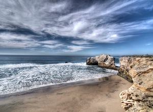
Surf at Natural Bridges State Beach
4.5Natural Bridges is off of West Cliff Drive to the north of popular Santa Cruz break, Steamer Lane. The break is a right point break, which breaks on a rocky shelf and reef. The break is best during sizable swells (NW, SW, and West) and a low tide. Be sure to check the wind, this break gets blown ...Read more -
Santa Cruz, California
Photograph Monarch Butterflies at Natural Bridges' Monarch Grove
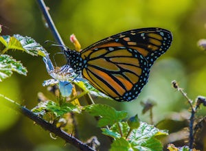
4.3The park's Monarch Grove provides a temporary home for thousands of Monarchs. From late fall into winter they make this their home and if you time it perfectly you can see them in clusters in the trees. When you reached the Natural Bridges State Park, on the right of the Visitors Center you'll f...Read more -
Santa Cruz, California
Beach Day at Lighthouse Field State Beach
4.0This beach is less crowded compared to other beaches in Santa Cruz. I got there early on a Saturday and found easy street parking. There was plenty of space to spread out on the soft sand. Later in the day I saw dolphins several times! This is close to the Santa Cruz Surfing Museum. It’s als...Read more -
Santa Cruz, California
Surf Pleasure Point
4.0Pleasure Point is located on the east side of Santa Cruz, California. It is a right hand point break that breaks year round. It is a popular surf spot for many people that live in the San Francisco Bay Area. There are 3 different peaks that break at Pleasure Point. Sewers, which is the furthest ...Read more -
Point Reyes Station, California
Coast Campground via Laguna Trailhead
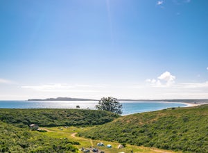
4.34.02 mi / 633 ft gainThis campground is the closest you can get to staying overnight on Pt. Reyes coastline if you're backpacking in. Once you get there, enjoy the view! The easiest way to get to the camp is from the slightly uphill hike along the Laguna Trail and the Firelane Trail. The trailhead for the Laguna Tra...Read more -
Point Reyes Station, California
Hike the Laguna Trail & Coast Trail Loop
5.05.2 mi / 300 ft gainLeave your car on a side of the road. When navigating there, put "HI Hostel Point Reyes" in your navigation - you park literally on the other side of the road, opposite to the hostel. Go to the west and soon you'll find the start of Coast Trail with a tsunami warning sign. During first 1.8 mile y...Read more

