Junction, California
Looking for the best hiking in Junction? We've got you covered with the top trails, trips, hiking, backpacking, camping and more around Junction. The detailed guides, photos, and reviews are all submitted by the Outbound community.
Top Hiking Spots in and near Junction
-
Shasta County, California
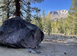
Visit Sulphur Works at Lassen Volcanic NP
4.02 mi / 200 ft gainLassen Volcanic National Park is a wonderland of lush pine forests, arid rocky terrain, boiling lakes, snow-capped peaks, and extremely diverse wildlife. I recommend at least a week to explore this underrated national park, but if you are only driving through, you can still enjoy some of the won...Read more -
Tehama County, California
Brokeoff Mountain Trail
4.06.93 mi / 2474 ft gainPeaking above the volcanic valley at 9235 ft, Brokeoff Mountain is only second in height to Mt. Lassen in the national park they share. Brokeoff was once a part of a larger volcano called Mt. Tehama that erupted, eventually leading to its collapse. The event left a rugged volcanic rim, now con...Read more -
Shasta County, California
Bumpass Hell Trail
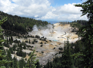
4.72.71 mi / 502 ft gainDue to hazardous snow and ice, Bumpass Hell Trail closes during the spring and may not open until July. From the Bumpass Hell Parking Area, the trail traverses the rocky slopes of Bumpass Mountain. The trail slowly ascends 200 feet with views of the valley to the west and Lassen Peak to the nort...Read more -
Shasta County, California
Summit Mt. Lassen via the Northeast Face
5.08 mi / 4000 ft gainThis route is perfect for those with some mountaineering skill looking to challenge themselves on either a long day climb (10-12 hours) of one of California’s most iconic peaks. 1: The approach (1500 feet of elevation gain) For the best chance of summiting, start very early, around 2-4 am. Most ...Read more -
Shasta County, California
Lassen Peak
4.44.66 mi / 1936 ft gainOne of my personal favorites and a hidden gem of California that keeps circling my mind is the Lassen Peak Trail. Don't let the trail map (2.5 miles one way) deceive you and make you think this is a short trail. The elevation gain is is 2000 feet from the parking lot to the end of the peak. The a...Read more -
Trinity Center, California
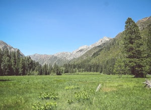
Backpack Stuart Fork to Emerald and Sapphire Lake
25 mi / 4448 ft gainThe Stuart Fork to Emerald and Sapphire Lakes trail features many beautiful lakes, meadows, and an area that resembles a jungle. Dogs are able to use this trail. This trail can be done as a day hike, an overnight, or a three-day backpacking trip. If you choose to make it a three day, the meadows ...Read more -
Trinity Center, California
Backpack to Bear Basin and The Four Lakes Loop
30.1 miDay 1 Swift Creek Trail Head to Bear BasinThe trip begins at the Swift Creek trailhead in the Trinity Alps Wilderness. Permits are very easy to get, just stop by the Ranger station in Weaverville, CA. They are free and can be self-issued in front of the ranger station, or you can go in if you wou...Read more -
Old Station, California
Bumpas Hell to Cold Boiling Lake
4.05.32 mi / 1007 ft gainBumpas Hell to Cold Boiling Lake Trail is an out-and-back trail that takes you by a lake located near Old Station, California.Read more -
Shasta County, California
Devastated Area Interpretive Trail
2.00.5 mi / 16 ft gainDevastated Area Interpretive Trail is a loop trail that is good for all skill levels located near Old Station, California.Read more -
Trinity Center, California
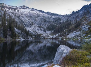
Stuart Fork Trail to Emerald and Sapphire Lakes
5.027.06 mi / 4213 ft gainThe trail begins just past the Trinity Alps Resort, a private collection of cabins near Weaverville, CA. Hikers wanting an early start can spend the night at the Bridge Camp Campground, located next to the trailhead. The path starts out wide and level, following an old road to the wilderness bou...Read more -
Trinity Center, California
Stuart Fork to Alpine Lake
16 mi / 4265 ft gainNestled in the heights of the Trinity Alps, this hike to Alpine Lake is not for the faint of heart. Before embarking on this adventure call the Weaverville Ranger station to check snow levels as well as the flow of the Stuart Fork River. If you are too early in the summer season the snowpack wi...Read more -
Shasta County, California
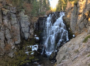
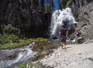
Kings Creek Falls Trail
4.02.49 mi / 495 ft gainKings Creek Falls Trail is an out-and-back trail that takes you by a waterfall located near Old Station, California.Read more -
Castella, California
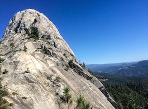
Hike Crags Trail to Castle Dome
4.45.1 mi / 2135 ft gainOne of the gems in the Shasta area, Castle Crags. You can spot these dramatic granite towers from a distance and their jagged formations beckon climbers and hikers alike. Imagine a slice of the Dolomites plucked out of Italy and placed in Northern California. Crags Trail to Castle Dome winds up t...Read more -
Shasta County, California
Seven Lake Loop in Lassen Volcanic NP
11.54 mi / 1545 ft gainThis hike is one of my favorites for when I only have a weekend to get my nature fix. To start off, visit either the Loomis Museum, Loomis Ranger Station, Butte Lake Ranger Station, Kohm Yah-mah-nee Visitor Center, Warner Valley Ranger Station, or Juniper Lake Ranger Station and pick up a wildern...Read more -
Junction City, California
Camp at Junction City Campground
3.0Junction City Campground is home to 22 tent/trailer campsites, paved loop road, vault toilets, potable water, fire rings, and picnic tables. MAX trailer length is 40 feet. The campground is located 1.5 miles west of Junction City on State Highway 299.Dogs are welcome in the campground -- please k...Read more -
Old Station, California
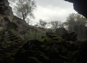
Subway Cave Lava Tubes
5.00.65 mi / 33 ft gainThe Subway Cave Lava Tube is located at Old Station in the Lassen National Forest. About 26 miles south of Burney, CA. If coming from the North, it is on Highway 89 (Volcanic Legacy Scenic Byway) on your left right before Highway 44. If coming from Redding, about 60 miles away, you would enter th...Read more

