Lake Hughes, California
Looking for the best hiking in Lake Hughes? We've got you covered with the top trails, trips, hiking, backpacking, camping and more around Lake Hughes. The detailed guides, photos, and reviews are all submitted by the Outbound community.
Top Hiking Spots in and near Lake Hughes
-
Dawson Saddle, California
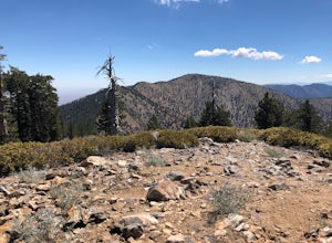
Hike to Throop Peak, Mt. Hawkins, and Mt. Burnham
8 mi / 2000 ft gainThe trailhead, or pair of trailheads actually, is at a location on the Angeles Crest Highway (CA-2) called Dawson's Saddle. There are a couple of parking areas along the side of the highway, and each of the pair of trailheads begins at either end of this parking area. The trailheads aren't mark...Read more -
Los Angeles, California
City View and Walnut Forest Trails Loop
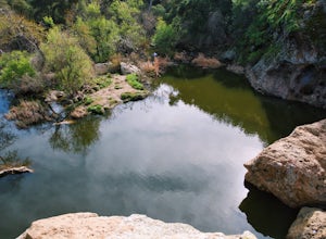
4.02.59 mi / 568 ft gainThe City View and Walnut Forest Trails in Ernest E. Debs Regional Park are just outside of downtown Los Angeles, and are perfect for all abilities. The trails are most commonly used by dog walkers, trail runners, mountain bikers and families. The top of the hike features a unique pond. Dogs are a...Read more -
Agoura Hills, California
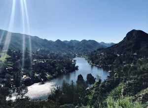
Malibu Lake Overlook
5.04.12 mi / 741 ft gainTo get to the trail, use the address 27800 Mulholland Highway, Agoura Hills, CA 91301. This will take you to a dirt pull off right off the Mulholland Highway. At the southern part of the pull off, you'll see a dirt path leading up and away from the road. This is the Cistern Trail Trailhead. You'l...Read more -
Calabasas, California
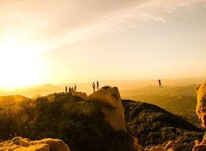
Hike and Rock Climb at Saddle Peak
5.0This is one of my favorite hikes in the Los Angeles area. Super easy, yet beautiful and a perfect place to get away from the city.Parking for the trailhead is where the three roads intersect. The parking area is a long strip of dirt, there will most likely be cars there when you arrive already th...Read more -
Los Angeles, California
Murphy's Ranch
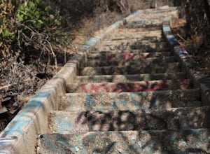
4.83.21 mi / 679 ft gainThis three-mile out-and-back hike begins at the beginning of a very nice neighborhood in Santa Monica. You will be trekking on a dirt road for about 1.5 miles until you reach some stairs that will be visible on your left-hand side. You will need to descend down those (what seem to be never-ending...Read more -
Agoura Hills, California
Malibu Creek Rock Pool
3.92.04 mi / 105 ft gainThe trail starts out from the main parking lot past the ranger station at Malibu Creek State Park. Begin hiking west on Crags Road, a well maintained trail that meanders along the creek. As you walk, you'll pass under large oak trees and enjoy expansive views of the Santa Monica Mountains. Aft...Read more -
Los Angeles, California
Elysian Park
4.01.88 mi / 282 ft gainThe trail at Elysian Park in Los Angeles, California, is a moderate difficulty hike that spans approximately 1.88 miles. The trail is well-marked and offers a variety of terrain, including dirt paths and paved roads. The trail is known for its panoramic views of the city, including the iconic Dod...Read more -
Los Angeles, California
Secret Swing in Elysian Park
4.20.16 mi / 360 ft gainFor the most direct directions to the swing, plug in "Swing on top of Elysian Park" into google maps, which will take you directly to the trailhead. If you want to do it the more old fashion way, the swing is on top of a hill at the intersection of Angels Point Drive and Park Row Drive in Elysian...Read more -
Agoura Hills, California
Camp at Malibu Creek State Park
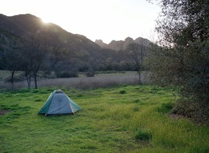
5.0Malibu Creek State Park boasts over 8,000 acres of oak woodlands, grassy hills, dramatic peaks and serene meadows. It's an outdoor lover's paradise and only a short drive north from most of Los Angeles. Before it was a park, the land was owned by 20th Century Fox Studios and used in productions...Read more -
1501 Will Rogers State Park Road, California
Backbone Trail via Will Rogers State Park
5.03.02 mi / 656 ft gainYou'll make your way up Will Rogers State Park Road, located just minutes from Santa Monica, Brentwood, Westwood, Malibu, Palisades, and much of west Los Angeles. Once on the road, head all the way to the top and you'll dead end into the parking lot. Always worth supporting State Parks with the p...Read more -
Los Angeles, California
Inspiration Point Loop Trail
2.36 mi / 486 ft gainThe Inspiration Point 2.3 mile loop hike in Will Rogers State Park is a family-friendly hike or after-work run near Los Angeles, California. It’s a great dirt trail for all skill levels and features scenic views and beautifully budding wildflowers. You’ll get to escape the city and take in the br...Read more -
Azusa, California
Lewis Falls
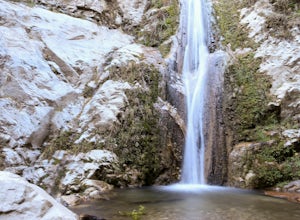
1 mi / 732 ft gainLocated deep in the Angeles National Forest above Azusa, this short but at times challenging hike rewards you with a beautiful fifty-foot waterfall. The base of the waterfall is only a foot at its deepest, so I wouldn't rush to bring a bathing suit with you. Protected by the heavy forestry around...Read more -
Monrovia, California
Monrovia Falls
3.71.46 mi / 459 ft gainMonrovia Falls is closed indefinitely due to the Bobcat Fire and mudslides. Read more on the CityofMonrovia.org website. The Monrovia Falls are at the end of the main trail located in Monrovia Canyon Park. The park is easy to locate and has ample parking. Keep in mind you do have to pay a fee of...Read more -
Los Angeles, California
Temescal Canyon Loop
3.93.76 mi / 810 ft gainThere are a couple of different ways that you can hike in Temescal Canyon. For this one, the loop begins from Temescal Canyon Trail at Sunset Boulevard and is approximately 3.76 miles. This loop is not dog friendly. Additional Options for Hiking Temescal Canyon: The basic loop – 2.6 milesTh...Read more -
Topanga, California
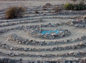
The Labyrinth at Tuna Canyon Park
1.45 mi / 299 ft gainThis is a simple but steep 2.4 mile round-trip hike to a clearing on a mountaintop in Topanga/Malibu, about an hour's drive west of downtown LA. At the end of the hike you'll reach a clearing with incredible views. On a cloudy or foggy day, it feels like you're floating above the clouds; on a cle...Read more -
Los Angeles, California
Parker Mesa Overlook via Paseo Miramar
4.25.32 mi / 1099 ft gainThis 5.4-mile out-and back trail takes off from the end of the residential area of Paseo Miramar. Once you hike a little less than a quarter mile in, you'll connect with Los Liones Canyon Trail. Continue on Paseo Miramar Trail, which in another 2.5 miles, will connect you with the Parker Mesa Ove...Read more

