Los Angeles, California
Looking for the best hiking in Los Angeles? We've got you covered with the top trails, trips, hiking, backpacking, camping and more around Los Angeles. The detailed guides, photos, and reviews are all submitted by the Outbound community.
Top Hiking Spots in and near Los Angeles
-
Santa Clarita, California
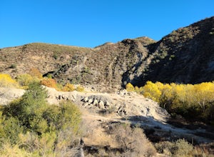
Hike to Saint Francis Dam Disaster National Monument
3.2 mi / 153 ft gainThe Saint Francis Dam Disaster National Monument, established in 2019, memorializes the site where the Saint Francis Dam, built by famed engineer William Mulholland, collapsed in 1929, tragically killing more than 400 people in the middle of the night as a 150+ foot wave of water crashed through ...Read more -
Malibu, California
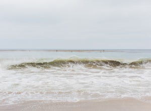
Leo Carillo State Beach
4.5Leo Carrillo State Park has 1.5 miles of two sandy beach areas, tide pools, and numerous coves and sea caves. This year-round paradise offers privacy and ocean access for anglers, divers, surfers, wildlife watchers, beachcombers, and campers. If you're headed here for day-use, there are also tide...Read more -
Malibu, California
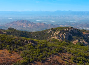
Sandstone Peak
4.83.03 mi / 971 ft gainIf you live in Los Angeles, Sandstone Peak is a must! The hike to the summit can be done on a 2 mile hike up and back on Sandstone Peak Trail, or a 6.5 mile hike up and back on Backbone Trail. The shorter trail is more popular, yet both are equally rewarding. You won't believe the views from the...Read more -
Malibu, California
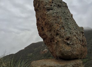
Balanced Rock via Sandstone Trailhead
5.04.36 mi / 1125 ft gain...From the PCH, make a left turn on Yerba Buena road (turn right if you're coming South) for about 6 miles until you get to the dirt parking area. If the lot is full, there's extra parking on the side of the road. FYI, Balanced Rock can also be accessed by starting at the Mishe Mokwa trailhead,...Read more -
12869 Yerba Buena Road, California
Mishe Mokwa Trail to Sandstone Peak
5.07.06 mi / 1755 ft gainTake Yerba Buena road to the trailhead. It is less zigzagged and shorter distance from PCH. Parking is easy provided that you start early in the morning. If the lot is full, you can always park on the side of the road. Bathroom is available at Sandstone Peak Trailhead parking lot, just 0.8 miles ...Read more -
Castaic, California
Paddle Castaic Lake State Recreational Area
6 miCastaic Lake is a man made reservoir located 41 miles north of downtown Los Angeles, CA in the town of Castaic. Made up of two bodies of water, separated by a 425-foot dam, Upper and Lower Castaic Lakes have a combined 29 miles of shoreline forming the Castaic Lake State Recreational Area. The s...Read more -
Corona, California
Hike to Santiago Peak via Holy Jim
5.015 mi / 4500 ft gainWhen you think of Orange County, you think of beaches, boardwalks, but what you may not know is that there are some great hikes in our very own backyard! My favorite is a fairly strenuous day hiking adventure that only the strong survive. Not to dissuade any interested parties, since this is a ...Read more -
Corona, California
Hike to Holy Jim Falls
3.02.9 mi / 570 ft gainTo start, directions on how to get to the trail there are two different ways, the most common , which I will explain, being through Rancho Santa Margarita you will head east on Santa Margarita Parkway, turn left at the dead end (into a parking lot for a shopping center) on Plano Trabuco Road, thi...Read more -
Los Angeles County, California
Bikepack Catalina Island
5.043.5 mi / 5700 ft gainThis is a great introductory overnight bikepacking adventure. With restaurants, water, and stores at each end of the ride, your packing list is minimal. Head out on Saturday morning and make it back in time for dinner on Sunday evening. Packing List Your Bike – I did this ride on my drop bar grav...Read more -
Laguna Niguel, California
Colinas Ridge Trail
2.01 mi / 131 ft gainFirst, you'll be parking in the parking lot for the dog park. It's free parking and there are roughly 40 spaces, so there is plenty of parking. I've never seen more than 20 cars here at any one time. Once parked you'll find the trail head/ start on the northwest side of the lot (opposite the dog ...Read more -
Malibu, California
Grotto Trail
2.64 mi / 492 ft gainWho doesn't enjoy a hike that offers water, scenic views, boulder hopping and a subterranean cave? I know I do! The Grotto Trail begins at Circle X Ranch, which looks a bit like a small cowboy western store, and is approximately 6 miles from the Highway 1 (PCH). The parking is a tad tight, fittin...Read more -
Dana Point, California
Hike the Salt Creek Trail
5.03 mi / 20 ft gainStarting from the Salt Creek Beach parking lot (a paid lot that takes cash, debit, and credit cards and charges by the hour. There are pay stations at a few points in the parking lots), you head west towards the ocean...through a tunnel and down the hill towards the beach. Once you get to the bas...Read more -
Thousand Oaks, California
Hiking Wildwood Regional Park
3.8Wildwood Regional Park is open year-round, easily accessible, and offers great routes for hiking, running, biking, and even horseback riding. There are also two waterfalls inside the park—the larger of the two, Paradise Falls, cascades 40 feet into a large pool. To catch some beautiful views of t...Read more -
Lytle Creek, California
Old CC Spur Trail via Big Tree Cucamonga Rd
5.11 mi / 1138 ft gainOld CC Spur Trail via Big Tree Cucamonga Rd is an out-and-back trail that takes you by a waterfall located near Fontana, California.Read more -
Thousand Oaks, California
Paradise Falls Loop
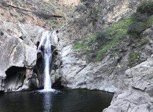
4.32.26 mi / 300 ft gainThe hike to Paradise Falls is about 1.5 miles one way with around 300 feet elevation change. Take it easy starting the hike because the real challenge is the change in elevation going back to your car since you'll be going uphill. At the trailhead, follow the signs indicating the location of Para...Read more -
Riverside, California
Hike Mt. Rubidoux
4.32.7 mi / 500 ft gainFeaturing over 161 acres and over 3.5 miles of combined paved and dirt trails, Mount Rubidoux Park in Riverside, CA is a beautiful natural environment and adventure location. Although some say this is just a "hill", this Inland Empire gem offers a quick escape from the pace of city life. Just m...Read more

