Mammoth Lakes, California
Looking for the best hiking in Mammoth Lakes? We've got you covered with the top trails, trips, hiking, backpacking, camping and more around Mammoth Lakes. The detailed guides, photos, and reviews are all submitted by the Outbound community.
Top Hiking Spots in and near Mammoth Lakes
-
Mammoth Lakes, California
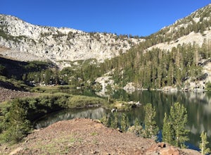
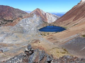
Relax at Laurel Lakes
0 mi / 0 ft gainThe Laurel Lakes trip, just south of Mammoth Lakes, is a worthwhile day trip that can easily be made into a hiking/camping trip.To get there, make your way to Laurel Lakes Rd via Sherwin Creek Rd either from Old Mammoth Rd or from the 395. The road to the lakes is not too bad initially but you'll...Read more -
Mammoth Lakes, California
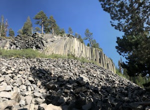
Devils Postpile Loop
5.01.28 mi / 243 ft gainDevils Postpile Loop is a loop trail that takes you by a river located near Mammoth Lakes, California.Read more -
Madera County, California
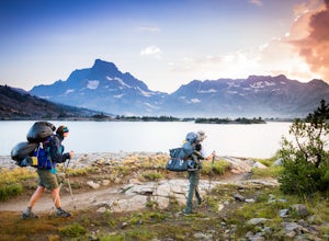
Thousand Island Lake via Agnew Meadows
5.019.6 mi / 3642 ft gainStart from Agnew Meadows about 7 miles away. You can take the High Trail out as part of the River Trail with a long detour passing by several other scenic lakes, including Shadow Lake, Garnet Lake, and Ruby Lake. You will arrive at Thousand Island Lake a few hours after lunch, just in time to set...Read more -
Madera County, California
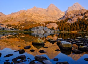
Ediza Lake via Agnew Meadows
4.013.54 mi / 1804 ft gainStart at the Agnew Meadows Trailhead. You will need to arrive before 7:30AM or take the Shuttle from Mammoth Mountain. Start out by heading north on the John Muir Trail. You will pass Shadow Lake; walk around the south side of the lake for mountain views. Then, follow the trail up Shadow Creek u...Read more -
Madera County, California
Cecile Lake via Agnew Meadows
16.11 mi / 2667 ft gainLocated in the heart of the Ansel Adams Wilderness, Cecile Lake can be reached from a variety of trailheads. I chose to start out in Agnew Meadows. From here, the trail criss-crosses through a serene lowland environment with several crystal clear streams. After passing Olaine Lake, veer left an...Read more -
Madera County, California
Climb Mount Ritter
Mt Ritter is a long climb, but it is worth the effort. Start out by establishing camp at Ediza Lake prior to your ascent. The SE Glacier route (first ascent by John Muir) follows the path of least resistance up the SE side of Mt Ritter.The route first gains a broad bench below Ritter and Banner P...Read more -
Madera County, California
Backpack to Waugh Lake
5.011 mi / 1000 ft gainThere are several trailheads you can start at to get to the lake, but we chose the River Trail in Agnew Meadows because it was the only trailhead that hadn't met the quota yet. You can check on permit's and trailheads here. If the River Trail is booked other great options are Shadow Creek, Fish C...Read more -
Mammoth Lakes, California
Agnew Meadows to Tuolumne Meadows
5.030.27 mi / 4757 ft gainUnlike most through hikes that require two cars or hitchhiking, you can accomplish this with only one car by using a YART. Another benefit is that by entering in Mammoth, it is usually much easier to get permits as opposed to starting in Yosemite where permits can be harder to get. Then once yo...Read more -
Mammoth Lakes, California
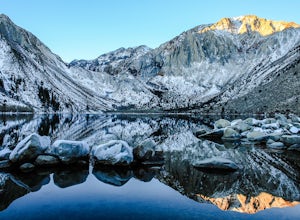
Convict Lake
4.92.46 mi / 56 ft gainIn 1871, a group of inmates escaped from a prison and were ambushed near the lake by a posse who had tracked them down. The inmates escaped the shoot out after killing two of the men in the posse and the lake now had a name – Convict Lake. You won’t witness a wild west shootout here, but if you ...Read more -
Mono County, California
Summit Mount Baldwin (12,614')
15 mi / 5000 ft gainDirections The hike for Mount Baldwin starts at the Convict Lake trailhead. The turn off for Convict lake is about 4.5 miles south of the Mammoth Lakes exit along the 395 and roughly 35 miles North of Bishop, CA. Take this exit and follow the road West towards the mountains. Turn right at the ...Read more -
Mammoth Lakes, California
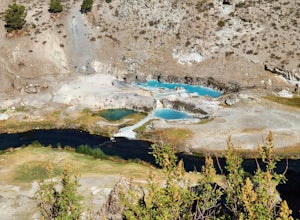
Hot Creek Interpretive Trail
5.00.37 mi / 69 ft gainHot Creek Interpretive Trail is a loop trail that takes you by a hot springs and good for all skill levels located near Mammoth Lakes, California.Read more -
Mono County, California
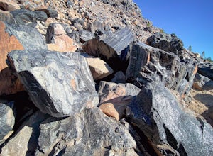
Obsidian Dome Trail
3.01 mi / 75 ft gainObsidian Dome Trail is an out-and-back trail that provides a good opportunity to view wildlife located near June Lake, California.Read more -
Mono County, California
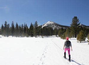
Snowshoe the Obsidian Dome Trail
6 mi / 300 ft gainThe Obsidian Dome Trailhead provides access to a large network of winter hiking trails through Inyo National Forest. These are marked trails that are groomed on an intermittent basis by the National Forest Service. To find the trailhead and parking area, drive north on highway 395 from Mammoth La...Read more -
June Lake, California
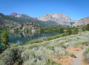
Gull Lake Loop
1.97 mi / 174 ft gainGull Lake trail is one of my favorite hiking spots in the June Lake Loop area. It is a very scenic trail that goes through varying terrains from meadows to marshes to aspen and conifer groves. Trailhead starts at the Mono County Community Center and winds counter-clockwise around the lake to th...Read more -
June Lake, California
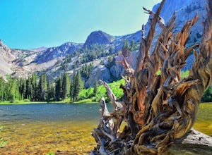
Hike to Fern Lake
5.03.5 mi / 1500 ft gainLess than 30 minutes north of Mammoth Lakes, the beauty of the region is captured even on the drive to get to the trailhead. No bathrooms at the trailhead, however the town of June Lake is a short bit away. Out of the gate, the trail quickly climbs 850 feet in just less than a mile. The way up, w...Read more -
Mammoth Lakes, California
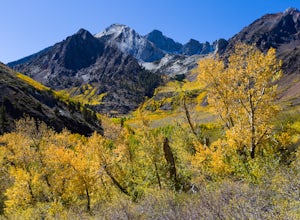
Photograph the Fall Colors of McGee Creek
5.03 mi / 500 ft gainMcGee Creek is one of my favorite spots in the Eastern Sierra to photography the fall color. Most people avoid the area because the best views require you to hike and explore but the rewards are worth it. Right close to the parking lot is McGee Creek which is a beautiful creek to photograph offer...Read more

