McCloud, California
Looking for the best hiking in McCloud? We've got you covered with the top trails, trips, hiking, backpacking, camping and more around McCloud. The detailed guides, photos, and reviews are all submitted by the Outbound community.
Top Hiking Spots in and near McCloud
-
Round Mountain, California
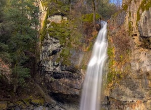
Potem Falls
5.00.58 mi / 151 ft gainPark in the pull-out on Fenders Ferry Road. There you will find the Potem Falls trailhead. The hike is only 0.6 miles long--you'll likely spend more time enjoying the falls than getting there! Bring your swim gear if you want to jump in the pool. The trail is dog-friendly and open March-October.Read more -
Burney, California
Northshore Campground
The name of the campground, Northshore Campground, speaks for itself. It's located on the northern side of Lake Britton, across the water from the main state park camping area. This is nice for us as it's easier to get a spot, and it's much quieter. Campground Reservations It's a PG&E campgr...Read more -
Burney, California
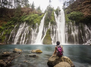
Burney Falls
4.90.97 mi / 82 ft gainBurney Falls can be seen right from the parking area, but this scenic loop is a great hike for all levels of hiking ability. Heading out on this trail will take you to the base of this 129 foot tall waterfall. The Hike Burney Falls has a 1.3 mile loop trail that takes approximately 30 minutes ...Read more -
Trinity Center, California
Stoddard Lake
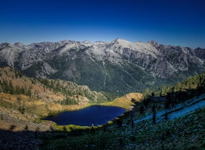
5.07.01 mi / 1325 ft gainThe trail is a bit rocky, so wear sturdy hiking boots or trail runners. While your elevation gain is only 800 total, you will travel upwards of 1,982ft in elevation given the ups and downs of the trail. At mile 1.75, there is a spring that feeds into a large meadow. At mile 3, there is another sp...Read more -
Redding, California
Houseboat Lake Shasta
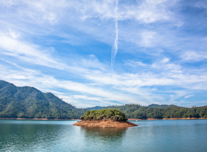
1 mi / 1 ft gainLake Shasta sits at the foot of infamous Mt Shasta, past the major Northern California city of Redding. From the Bay Area you can count on at least a 3.5 hour drive to get to waters edge, but the drive goes by quickly just cruising on HWY 5. There are multiple Marinas on Shasta but the largest is...Read more -
Trinity Center, California
Backpack to Bear Basin and The Four Lakes Loop
30.1 miDay 1 Swift Creek Trail Head to Bear BasinThe trip begins at the Swift Creek trailhead in the Trinity Alps Wilderness. Permits are very easy to get, just stop by the Ranger station in Weaverville, CA. They are free and can be self-issued in front of the ranger station, or you can go in if you wou...Read more -
Trinity Center, California
Camp at Hayward Flat on Trinity Lake
We drove all around Trinity Lake and this was the best campground we found! Located right on Trinity Lake you will find Hayward Flat Campground. From Weaverville California you will follow highway 3 north about 20 miles. Then take a right on Hayward Flat road two miles. Boom, you are there. The...Read more -
Forks of Salmon, California
Hike to the Caribou Lakes, Shasta-Trinity Alps
4.016 mi / 3000 ft gainHike through the most majestic and unforgettable mountain ranges, alpine terrains, glacier lakes outside of the Sierra Nevada in Northern California. Yes, it's a long drive there and a lengthy hike, but if you have any doubts about whether this is worth the effort, just go! I struggled with the s...Read more -
Etna, California
Hike to the Etna Mountain Summit
6 mi / 800 ft gainTo start off, you're going to want to navigate to the Etna Summit Trailhead (5956 ft). There's a small parking lot off to the side and we did not need any passes for our overnight trip. Since the summit isn't the main destination for many people in this area, you'll want to follow the Pacific Cre...Read more -
Tulelake, California
Explore Crystal Ice Cave, Lava Beds National Monument
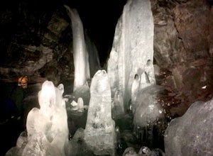
1 miThis adventure is only accessed through a ranger guided tour by the staff at Lava Beds National Monument. A reservation is needed, go to recreation.gov to make a reservation space is limited. You will meet at the visitor center. The ranger will take you to the cave. Don't try to find the cave...Read more -
Tulelake, California
Hike the Schonchin Butte Trail in Lava Beds National Monument
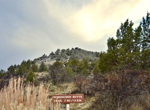
5.01.5 mi / 475 ft gainFrom the entrance booth of Lava Beds National Monument drive south. There will be a left hand turn labeled Schonchin Butte, take it. Drive down a dirt road about a mile to reach Schonchin Butte trailhead parking. It is less than a mile hike to the fire lookout with elevation gain of 475 feet. The...Read more -
Tulelake, California
Descend Into Skull Cave of the Lava Beds National Monument
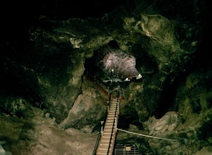
4.50.1 mi / -328.1 ft gainOnce you reach the Lava Beds National Monument stop by the visitors center to pay your fees, grab a map, and empty your bladder. From there you will drive your car up the road from the visitors center to Skull Cave.The visitors center will give you map and answer any questions you have. From the ...Read more -
Redding, California
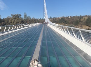
Hilltop Trail Head to Sundial Bridge
4.02.27 mi / 167 ft gainHilltop Trail Head to Sundial Bridge is an out-and-back trail where you may see wildflowers located near Redding, California.Read more -
Redding, California
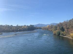
Arboretum Loop Trail
3.52.07 mi / 43 ft gainArboretum Loop Trail is a loop trail that takes you by a river located near Redding, California.Read more -
Shasta County, California
Magee Peak & Crater Peak
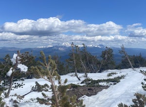
7.19 mi / 2887 ft gainThe trail to Magee Peak and Crater Peak makes for a fairly strenuous hike (mostly due to altitude). This USFS out-and-back trail has incredible views of the major peaks in the Northern California & Southern Oregon. Take in a spectacular close-up of Lassen NP and great views of Shasta, Castl...Read more -
Trinity Center, California
Backpack Stuart Fork to Emerald and Sapphire Lake
25 mi / 4448 ft gainThe Stuart Fork to Emerald and Sapphire Lakes trail features many beautiful lakes, meadows, and an area that resembles a jungle. Dogs are able to use this trail. This trail can be done as a day hike, an overnight, or a three-day backpacking trip. If you choose to make it a three day, the meadows ...Read more

