Mono County, California
Looking for the best photography in Mono County? We've got you covered with the top trails, trips, hiking, backpacking, camping and more around Mono County. The detailed guides, photos, and reviews are all submitted by the Outbound community.
Top Photography Spots in and near Mono County
-
Highway 108, California
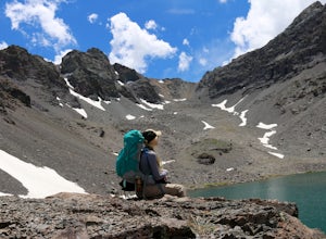
Backpack to Blue Canyon Lake
5.03.6 mi / 1280 ft gainTrailhead Coordinates: 38º 19'08.46"N 119º39'49.26"W Elev 8897ftThe trail is kind of tricky to find. It is West of the PCT trailhead at Sonora Pass and it is not marked. You park along the side of Hwy 108 and scramble down an embankment where a creek flows at the bottom. Cross this creek and you ...Read more -
Highway 108, California
Hike to Deadman Lake
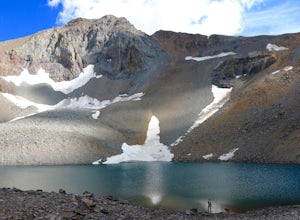
6 mi / 1700 ft gainStart: 38º19'08.46"N 119º39'49.26"W Elev 8879ftPark along Hwy 108, head down the bank and across the stream at the bottom. There you will find the start of the trail.This is a challenging hike without much of an actual trail to follow for the majority of it. The hike is very steep in certain are...Read more -
Mariposa County, California
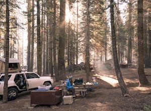
Camp at Wawona in Yosemite National Park
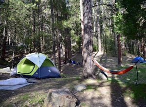
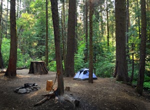
Wawona offers over 90 campsites in 3 loops, including 1 group site, 2 horse sites, and RV/ camper access.Every loop has at least 1 bathroom with flush toilets, but keep in mind that there are no showers at this campground.Pets are allowed, but must be kept on leash at all times.Each campground co...Read more -
Bishop, California
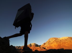
Photography in the ButterMilks
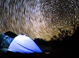
5.0The Eastern Sierras have some of the most spectacular views in the world. This area in particular is known for its rock climbing. It also has amazing opportunities for photographers.The nights during a new moon are incredibly dark and create great astro photography shots. During the day, the l...Read more -
Bishop, California
Bouldering In The Buttermilks
5.0The Buttermilks is a historical climbing area that is home to some of the worlds most famous rock climbs. It is located at the base of the Eastern Sierras near Bishop, CA. In this region there are 3 main bouldering areas: The Happies, The Sads, and The Buttermilks.The Buttermilks are massive gr...Read more -
Mariposa County, California
Camp at Crane Flat Campground
Crane Flat Campground is located on the Big Oak Flat Road (Highway 120) just west of Crane Flat, about 30 minutes northwest of Yosemite Valley. Sites are open July-October at $26/night. More info at https://www.nps.gov/yose/plany...Read more -
Tuolumne County, California
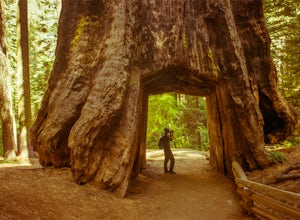
Tuolumne Grove of Giant Sequoias
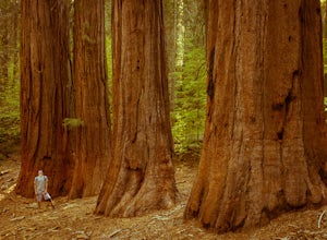
4.22.67 mi / 653 ft gainThe Tuolumne Grove of Giant Sequoias is one of three sequoia groves in Yosemite National Park. This particular grove has gorgeous forest scenery and provides great solitude compared to the crowded Yosemite Valley. The trail used to be an old road offering a wide path with a gradual descent, makin...Read more -
Bishop, California
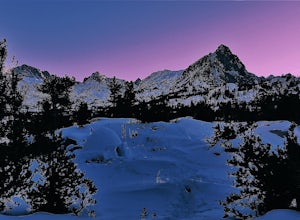
Snowshoe to Blue Lake
6.2 mi / 1350 ft gainStarting in Aspendale at 8500 feet, this 5 mile hike is very invigorating and beautiful. To get here, take hwy 395 until in Bishop. Turn onto hwy 168 until you pass the small town of Aspendale. The road dead ends about another mile up the road and you can park. Walk past the yellow gate toward la...Read more -
Oakhurst, California
Camp at Nelder Grove Campground in Sierra National Forest
0 mi / 0 ft gainSites are located along Willow Creek with plenty of shape. Right out of the campground you can hike nearby Bull Buck Trail and discover the giant sequoia trees. This is a first-come first-serve campground so arrive early.Directions: Take Hwy 41 north from Fresno; continue thru Oakhurst to Sky Ran...Read more -
Oakhurst, California
Hike the Shadow of the Giants Trail
4.01.1 mi / 85 ft gainThe Shadow of the Giants National Recreation trail is an amazing 1.1 mile self-guided hike through the heart of Nelder Grove. Take Hwy 41 north from Fresno; continue thru Oakhurst to Sky Ranch Road (6S10 or Forest Road 10) travel approx. 5 miles to Nelder Grove, when you reach the camp area take ...Read more -
Mariposa County, California
Merced Grove
5.03.32 mi / 600 ft gainMerced Grove is technically the smallest and most secluded of the three sequoia groves found in Yosemite National Park, which lends itself to be less crowded offering a peaceful solitude hike. The trailhead is located at the Merced Grove parking lot on Big Oak Flat Road. This trail begins by foll...Read more -
Mineral County, Nevada
Explore Candelaria Ghost Town
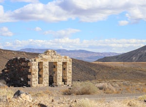
The ghost town of Candelaria lies in rural Nevada, where desolate two-lane highways give way to even quieter roads of broken up pavement. Once a booming silver town, Candelaria's isolated location is somewhat to blame for it having become the empty unpopulated place it is today. Originally settle...Read more

