Morongo Valley, California
Looking for the best hiking in Morongo Valley? We've got you covered with the top trails, trips, hiking, backpacking, camping and more around Morongo Valley. The detailed guides, photos, and reviews are all submitted by the Outbound community.
Top Hiking Spots in and near Morongo Valley
-
Riverside County, California
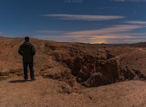
Night Hike Painted Canyon
Take Box Canyon Rd to Painted Canyon Road. Painted Canyon Road is a dirt road, so exercise caution. The road dead ends at the Painted Canyon Trailhead parking lot.Once on the trail, look out for markers and arrow rock piles pointing to the slot canyons and other trails. Some climbing is necessary...Read more -
Mecca, California
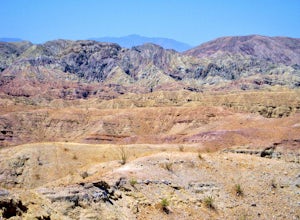
Big Painted Canyon
3.61 mi / 541 ft gainBig Painted Canyon is an out-and-back trail that takes you past scenic surroundings located near Mecca, California.Read more -
Mecca, California
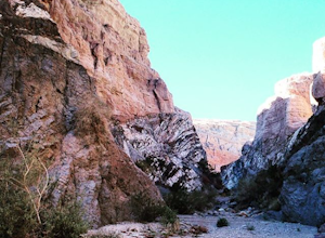
Hike the Ladder Canyon/Painted Canyon Loop
5.04 mi / 2215 ft gainFrom Interstate 10, take State Highway 195 (Box Canyon Road) to Painted Canyon Road. This well-maintained, dirt road goes for about 4 miles and leads into the sandy wash which runs the length of the canyon for approximately 1.7 miles. There are a few narrow side canyons which can be explored on f...Read more -
Temecula, California
Dripping Springs Trail
4.013.68 mi / 3287 ft gainThe trail immediately begins to climb out of the campground on a well-graded incline. The next mile contains some climbing leading to a set of switchbacks. A long strenuous climb ensues until the 3200' elevation is reached. The trail then makes an easy southward traverse to the basin before resum...Read more -
Aguanga, California
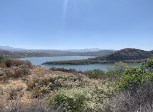
Vail Lake Loop
4.07.25 mi / 922 ft gainVail Lake Loop is a loop trail that takes you by a lake located near Temecula, California.Read more -
Riverside, California
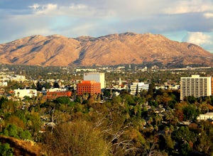
Hike Mt. Rubidoux
4.32.7 mi / 500 ft gainFeaturing over 161 acres and over 3.5 miles of combined paved and dirt trails, Mount Rubidoux Park in Riverside, CA is a beautiful natural environment and adventure location. Although some say this is just a "hill", this Inland Empire gem offers a quick escape from the pace of city life. Just m...Read more -
San Diego County, California
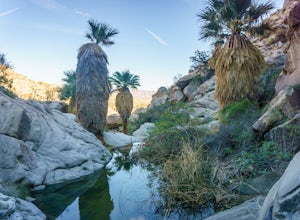
Hike Sheep Canyon
5.03 mi / 1000 ft gainSheep Canyon is probably the most remote palm canyon in Anza-Borrego Desert State Park in California. While Palm Canyon is easily accessed from the State Park campground, Sheep Canyon is on a dirt road that requires stream crossings and potentially a high-clearance 4WD vehicle. The canyon is nam...Read more -
Twentynine Palms, California
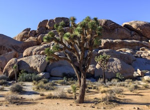
Camp at Cottonwood Campground in Joshua Tree NP
The Cottonwood Campground is roughly 40 minutes south of the main attractions in Joshua Tree on Pinyon Canyon Rd and is located right next to the visitor center The biggest advantage of this site is that it is less popular than many of the other sites in Joshua Tree. It also has potable water and...Read more -
Twentynine Palms, California
Hike the Mastadon Peak Loop
5.02.3 mi / 331 ft gainThe trail is typically used for hiking, nature trips, and trail running. There are lots of opportunities to see desert plants and flowers. On clear days, you can see the Salton Sea. There is an old mine to explore from the outside, as the entrance has been sealed. If you plan on going to the top...Read more -
Twentynine Palms, California
Explore Cottonwood Spring
Just east of the Cottonwood Visitor Center. This scenic spot provides access to cottonwood spring. The spring is a short walk down from the parking lot, and was formed from earthquakes! It was a popular spot for natives and settlers to gather water back in the day. As you approach the springs you...Read more

