Mount Hamilton, California
Mount Hamilton in California offers some of the best trails and outdoor activities for those seeking scenic outdoor adventures. One must-visit is the Grant Ranch County Park, a sprawling area with a network of trails that takes you through rolling hills and pastures. The park is known for its unique rock formations and a peaceful lake, making it a top spot for hiking, picnicking, and fishing. The Mount Hamilton Observatory is another top attraction, providing stunning views of the surrounding landscape. For a challenging hike, tackle the Copernicus Peak Trail, the highest point in the park. This trail offers panoramic views and a glimpse of the region's diverse flora and fauna. Whether you're a seasoned hiker or a casual walker, Mount Hamilton offers an array of outdoor activities to suit all preferences.
Top Spots in and near Mount Hamilton
-
Santa Cruz, California
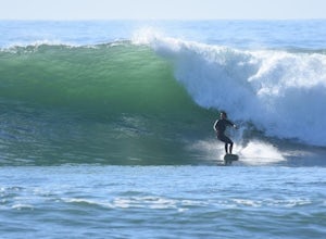
Surf Four Mile Beach
4.0Four Mile is a reef/point break that is a couple of miles north of town. This spot usually picks up more swell than in town so it is a popular spot for many locals to surf. When the swell picks up, it offers long rights towards the beach. The current can be strong when there is a lot of swell in ...Read more -
Moss Landing, California
Kayak in Elkhorn Slough
4.7Elkhorn Slough is located in Moss Landing, which is in the dead center of Monterey Bay, California. Elkhorn Slough is one of California's largest wetlands and part of a National Estuarine Reserve located in central Monterey Bay, California, just a short trip from the Monterey Peninsula and the Sa...Read more -
Foster City, California
Paddle the Foster City Lagoon
The Foster City Lagoon is one of the most calm waters to paddle on. This is a great spot for beginners to learn how to paddleboard for the first time. The lagoon gets very still and makes it the perfect spot for reflection photos. On sunny days, there are many kayakers, SUP, small boats, and ev...Read more -
Santa Cruz, California
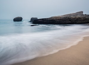
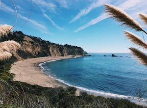
Explore Panther Beach
4.5Panther Beach's white sand, clear water, and interesting rock formations make it one of the most stunning beaches along this stretch of CA1. But this is a hidden gem for a reason - there are no signs along CA1 for Panther Beach. You need to keep you eyes peeled for cars parked along the side of t...Read more -
Santa Cruz, California
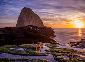
Photographing the Sunset at Panther Beach
5.0Probably my favorite beach in the Santa Cruz area. Panther Beach lies just south of Davenport along the beautiful Hwy 1. Park at a large dirt pull out on the left hand side if your heading north from Santa Cruz. The trail down to the beach is steep and not that well maintained so watch your step....Read more -
Moss Landing, California
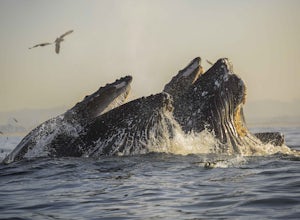
Kayak with Humpback Whales in Monterey Bay
5.0Disclaimer: Please keep a respectful distance from the whales and other sea wildlife for their protection and your own. Note, changing the animal's natural behavior is a violation of federal law.Every year, humpbacks whale migrate north from their winter and breeding grounds down in southern Mex...Read more -
Moss Landing, California
Whale Watching off Moss Landing
The Monterey Bay National Marine Sanctuary is home to some of the most diverse and rich waters in our oceans, and you have the chance to see it up close and personal! The big prize is getting to see a whale, but these waters are teeming with other wildlife from dolphins to otters to sea lions. F...Read more -
Davenport, California
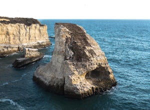
Beach Picnic at Shark Fin Cove
4.3Shark Fin Cove is a large rock formation in an inlet off Highway 1 in Northern California. It is located 1 mile south of Davenport and 10 miles north of Santa Cruz. There is a sizable parking lot located on the side of Highway 1 to park in. Walk down the path left of the parking lot and cross the...Read more -
Redwood City, California
Hike the Methuselah and El Corte De Madera Creek Loop
6.2 mi / 1800 ft gainThis loop hike will provide people with the opportunity to experience the tranquility of the lower canyons of the preserve, which tend to be more isolated than the heavier-trafficked trails that are closer to the main highway. Be warned that this hike is fairly strenuous because of the large amou...Read more -
Danville, California
Summit Mount Diablo via Rock City Trail
5.07.8 mi / 2299 ft gainAlthough steep in sections, this trail is a wonderful workout and hikers are more than rewarded for their efforts. The Rock City Trail is a direct route to the summit of Mount Diablo, and the park is an ecological treasure dear to the hearts of Bay Area residents. The best views are on clear days...Read more -
Danville, California
Hike in Mount Diablo's Madrone Canyon
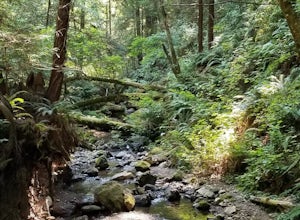
2.8 mi / 550 ft gainThis hike starts at the Rock City area of Mount Diablo State Park. Begin at the Madrone Canyon Trail, hiking southeast towards the Devils Slide trail. Along this section of the hike, the trail dips into a wooded canyon and follows the path of a small creek. To best experience the beauty of the cr...Read more -
Davenport, California
Hike around Greyhound Beach and Climb Greyhound Rock
0.7 mi / 0 ft gainThe trailhead is at the Greyhound Rock State Marine Conservation Area which is directly off Highway 1. There is a large paved parking lot with a good amount of trees so finding a shady parking spot isn't that difficult (if that's important to you). The parking lot is located on the beach cliffs ...Read more -
Pescadero, California
Camp at Butano State Park
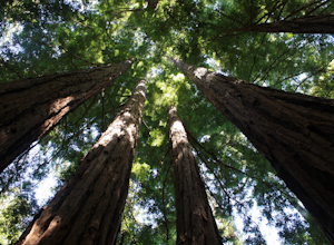
Butano State Park definitely flies under the radar. But for those who love quick escapes, small crowds, fun hikes, and beautiful redwoods, it's a favorite. The park features miles of hiking trails, 21 drive-in campsites and 18 walk-in campsites. Restrooms with running water are provided. Drinking...Read more -
Redwood City, California
Hike Whittemore Gulch at Purisima Creek Redwoods OSP
4.09.3 mi / 2109 ft gainThis trail starts out going downhill towards the ocean for the first half, which makes for a tough end to the hike as you trek back up the ridge. However, there are nice ocean and hilltop views that are worth the climb. On this trail, you'll pass 60+ banana slugs if conditions are right. They ar...Read more -
Redwood City, California
Hike Purisima Creek Redwoods OSP
4.67 miThere are two places to park for this specific loop- the main parking area on Highway 35 (Skyline Boulevard) and a smaller parking lot on the western end of the park. I would recommend parking at whichever is closest. Find directions to both on Openspace.org. From the main parking lot, the trail ...Read more -
Redwood City, California
Mountain Bike at Purisima Creek
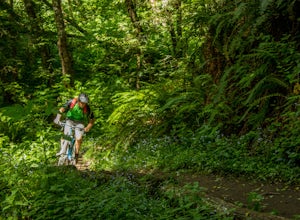
This beautiful mountain bike ride can be started at the Purisima Creek Road Trailhead or on Skyline Boulevard. There are many trails in the Purisisma Creek Redwoods, but Whittemore Gulch is by far the most beautiful and fun single track to descend on. If you are starting from Skyline Boulevard, i...Read more

