Old Station, California
Looking for the best hiking in Old Station? We've got you covered with the top trails, trips, hiking, backpacking, camping and more around Old Station. The detailed guides, photos, and reviews are all submitted by the Outbound community.
Top Hiking Spots in and near Old Station
-
Old Station, California
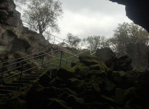
Subway Cave Lava Tubes
5.00.65 mi / 33 ft gainThe Subway Cave Lava Tube is located at Old Station in the Lassen National Forest. About 26 miles south of Burney, CA. If coming from the North, it is on Highway 89 (Volcanic Legacy Scenic Byway) on your left right before Highway 44. If coming from Redding, about 60 miles away, you would enter th...Read more -
Old Station, California
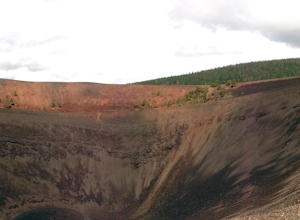
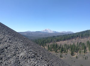
Hike to Cinder Cone
5.04 mi / 846 ft gainCinder Cone Trail For 1.2 miles, the trail gently slopes up through a forest. The Fantastic Lava Beds form a wall to your left. The Fantastic Lava Beds were formed by several eruptions of lava from Cinder Cone. The trail is mostly cinder erupted from Cinder Cone. Walking on cinder is similar to w...Read more -
Old Station, California
Hike to Snag Lake via the Cinder Cone
12.5 mi / 2000 ft gainStart from the Butte Lake trailhead, off Highway 44 at the north end of Lassen Volcanic National Park. From the parking lot walk past the little boat launch and the trailhead is obvious in front of you. Be mentally prepared to be walking in loose sand for most of this trip (and bring ankle or kn...Read more -
Shasta County, California
Devastated Area Interpretive Trail
2.00.5 mi / 16 ft gainDevastated Area Interpretive Trail is a loop trail that is good for all skill levels located near Old Station, California.Read more -
Shasta County, California
Magee Peak & Crater Peak
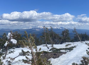
7.19 mi / 2887 ft gainThe trail to Magee Peak and Crater Peak makes for a fairly strenuous hike (mostly due to altitude). This USFS out-and-back trail has incredible views of the major peaks in the Northern California & Southern Oregon. Take in a spectacular close-up of Lassen NP and great views of Shasta, Castl...Read more -
Shingletown, California
Manzanita Lake Loop
4.01.88 mi / 121 ft gainManzanita Lake Loop Trail is a loop trail that takes you by a lake located near Old Station, California.Read more -
Shasta County, California
Camp out at Manzanita Lake Cabins in Lassen Volcanic NP
Deep in the Lassen National Forest is the beautiful and surprisingly one of the least visited National Parks, Lassen Volcanic National Park. On the north entrance of the park, you will find the beautiful Manzanita Lake Cabins and Campground with the gorgeous blue lake in the foreground. Getting ...Read more -
Shingletown, California
Hike the Chaos Crags Trail
3.8 mi / 915 ft gainManzanita Lake campground is located about 1/2 mile past the Northwest entrance of Lassen Volcanic National Park. The trailhead is located just before the campground sites about 0.1 mile off of the main road and marked with a sign (including a map) and a few parking spaces. The trail starts o...Read more -
Shasta County, California
Seven Lake Loop in Lassen Volcanic NP
11.54 mi / 1545 ft gainThis hike is one of my favorites for when I only have a weekend to get my nature fix. To start off, visit either the Loomis Museum, Loomis Ranger Station, Butte Lake Ranger Station, Kohm Yah-mah-nee Visitor Center, Warner Valley Ranger Station, or Juniper Lake Ranger Station and pick up a wildern...Read more -
Shasta County, California
Summit Mt. Lassen via the Northeast Face
5.08 mi / 4000 ft gainThis route is perfect for those with some mountaineering skill looking to challenge themselves on either a long day climb (10-12 hours) of one of California’s most iconic peaks. 1: The approach (1500 feet of elevation gain) For the best chance of summiting, start very early, around 2-4 am. Most ...Read more -
Shasta County, California
Lassen Peak
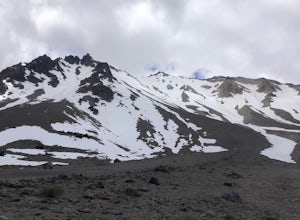
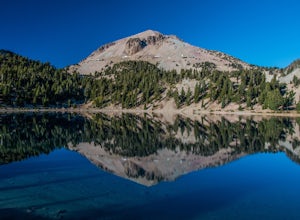
4.44.66 mi / 1936 ft gainOne of my personal favorites and a hidden gem of California that keeps circling my mind is the Lassen Peak Trail. Don't let the trail map (2.5 miles one way) deceive you and make you think this is a short trail. The elevation gain is is 2000 feet from the parking lot to the end of the peak. The a...Read more -
Shasta County, California
Kings Creek Falls Trail
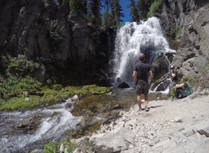
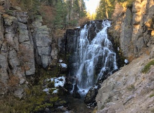
4.02.49 mi / 495 ft gainKings Creek Falls Trail is an out-and-back trail that takes you by a waterfall located near Old Station, California.Read more -
Old Station, California
Bumpas Hell to Cold Boiling Lake
4.05.32 mi / 1007 ft gainBumpas Hell to Cold Boiling Lake Trail is an out-and-back trail that takes you by a lake located near Old Station, California.Read more -
Shasta County, California
Bumpass Hell Trail
4.72.71 mi / 502 ft gainDue to hazardous snow and ice, Bumpass Hell Trail closes during the spring and may not open until July. From the Bumpass Hell Parking Area, the trail traverses the rocky slopes of Bumpass Mountain. The trail slowly ascends 200 feet with views of the valley to the west and Lassen Peak to the nort...Read more -
Plumas County, California
Boiling Springs Lake Loop
2.38 mi / 449 ft gainThe hike to Boiling Springs Lake starts at the Warner Valley Trailhead and is only a 3 mile roundtrip hike. It's a fairly easy hike that starts through the valley and then winds up through the forest and eventually opens up to the lake. First thing you'll notice as you approach the lake is the ...Read more -
Plumas County, California
Drake Lake Trail
4.6 mi / 840 ft gainThe hike starts at the Warner Valley Trailhead and winds up the mountain until you reach the lake. The first 2 miles or so are very pleasant walk through the woods until you reach the last portion which is essentially straight up the mountain side. This portion of the trail can be very slippery...Read more

