Palm Springs, California
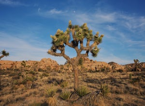
Palm Springs, California is an excellent destination for active adventurers. It offers a variety of scenic trails and activities to explore, from the Palm Springs Aerial Tramway and Tahquitz Canyon to Indian Canyons and the Living Desert Zoo & Gardens. For a more thrilling experience, guided tours of the San Andreas Fault or exploring Joshua Tree National Park are great options. Meanwhile, the Joshua Tree Lake RV and Campground provides a peaceful and picturesque setting for those wishing to relax. Golf lovers will enjoy the variety of must-visit golf courses in the area, such as the Indian Canyons Golf Resort and the Escena Golf Club. With so many things to do and see in the region, Palm Springs is an ideal spot for your next outdoor getaway.
Top Spots in and near Palm Springs
-
Riverside County, California
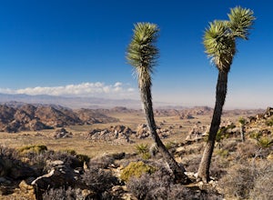
Hike Ryan Mountain
4.82.86 mi / 1056 ft gainOne of the most prominent peaks in Joshua Tree National Park in Ryan Mountain. It's centrally located rising to a total of 5,456 feet above the valley floor. The trail to the peak is a moderate hike with a little over 1,000 feet elevation gain with panoramic views of Lost Horse Valley, Queen Vall...Read more -
Riverside County, California
Winter Hike to Ryan Mountain
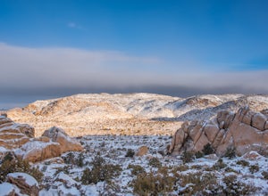
2.86 mi / 1056 ft gainHike starts at the base of Ryan Mountain. The trail runs along side the mountain, offering great views overlooking Joshua Tree. Once you hit the summit, you'll get great panormaic views of the national park as the top of Ryan Mountain is at an elevation of 5457ft. The trail is open during all se...Read more -
Twentynine Palms, California
Tour Keys Desert Queen Ranch in Joshua Tree National Park
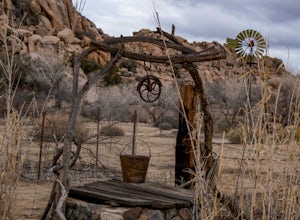
Joshua Tree National Park flawlessly combines otherworldly landscapes, incredible recreational opportunities, and a colorful, wild-west history. Before it was a national park, Joshua Tree was home to cattle rustlers, gunslingers, miners, and rugged homesteaders. One of the most quirky characte...Read more -
Riverside County, California
Wall Street Mill
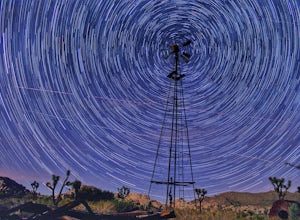
4.02.43 mi / 131 ft gainHike along the easy Wall Street Mill Trail for about one mile and you will reach the mill - if you are into night photography, this is an amazing subject that will bring you back again and again, always capturing something different. Explore around off trail - there are tons of boulders to play a...Read more -
Riverside County, California
Hike the Barker Dam
1.28 mi / 85 ft gainThe Barker Damn trail is a 1.5 mile loop trail across flat terrain which makes it great for the whole family. The hike starts out from the Barker Dam parking lot which is shared with the Wall Street Mill trailhead. You can find the Barker Dam trailhead just to the left of the bathrooms. After ...Read more -
San Diego County, California
Hike Sheep Canyon
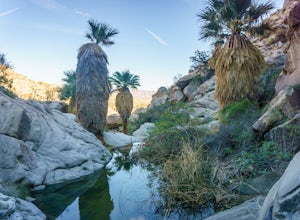
5.03 mi / 1000 ft gainSheep Canyon is probably the most remote palm canyon in Anza-Borrego Desert State Park in California. While Palm Canyon is easily accessed from the State Park campground, Sheep Canyon is on a dirt road that requires stream crossings and potentially a high-clearance 4WD vehicle. The canyon is nam...Read more -
Forest Falls, California
Summit Mt. San Gorgonio
4.717 mi / 5840 ft gainA hiking permit is required to hike in the San Gorgonio Wilderness. Apply for the permit early as the Vivian Creek Trail is the second most popular trailhead for the area and quotas fill up in advance. The permits are free and the entire process can be handled via fax or mail. All the information...Read more -
Pioneertown, California
Pioneertown to Big Bear via Burns Canyon Road and 2N02
18.8 mi / 3287 ft gainThe Pioneertown to Big Bear trail via Burns Canyon Road and 2N02 is a unique hiking route in Pioneertown, California. This trail is known for its diverse terrain and stunning views. The trail starts in the historic Pioneertown and winds its way up to Big Bear, a popular mountain resort. The tra...Read more -
Forest Falls, California
Vivian Creek Trail to San Gorgonio Peak
17.83 mi / 5627 ft gainVivian Creek Trail to San Gorgonio Peak is an out-and-back trail that takes you by a waterfall located near Forest Falls, California.Read more -
Twentynine Palms, California
Canyoneer Joshua Tree's Rattlesnake Slot Canyon
The trailhead is located at the end of Indian Cove road. From Indian Cove Campground, take the road to the east about a mile to a picnic area where there is parking at the mouth of the canyon.From the picnic area hike up the Canyon in a south to south-east direction. After a few hundred yards a d...Read more -
Riverside County, California
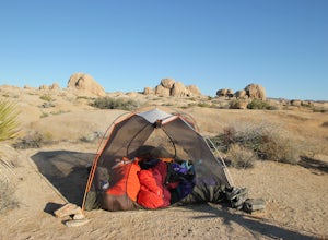
Camp at Joshua Tree's Jumbo Rocks
4.8Set your tent up next to a wall of tall boulders. This campground can offer a little shade, which is key especially during the warmer months. At the campground, there are 124 first-come, first-serve sites for $10 per night. Each campsite comes available with a picnic table and fire ring. The camp...Read more -
Twentynine Palms, California
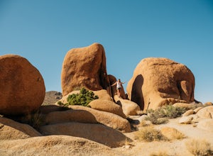
Skull Rock Trail at Joshua Tree National Park
5.01.7 mi / 131 ft gainYou can park at the Jumbo Rocks Campground to start this quick hike. There are two parking locations for this campground and it will be easiest if you use the first one you see, rather than going farther off the road and right next to the campsites. To start the hike, start going north and immedi...Read more -
Twentynine Palms, California
Desert Queen Mine and Eagle Cliff Boulder House
3.41 mi / 656 ft gainThis is a great trail and arguably, entering the mines is the coolest part. Bring a headlamp so you can see down tunnels. As you go past the giant boulders on the right, you enter a nice microclimate of cooler air and scrubby oak trees. Don't forget to look up - you'll see lots of erosion on the ...Read more -
Twentynine Palms, California
Boy Scout's Trail in Joshua Tree
4.516.12 mi / 1539 ft gainThe Boy Scout trail connects the main part of the National Park to the outer rim campground, Indian Cove Campground. All backcountry overnight trips must be registered at a registration board (free, self-registration). Start this trip at the registration board located in either Indian Cove Campgr...Read more -
Twentynine Palms, California
Split Rock Loop
5.01.94 mi / 220 ft gainStarting out at the Split Rock Trail parking lot, you'll see Split Rock, which might be the most visited boulder in the park. Everyone makes a visit to it and while it is absolutely amazing, it's great to take the hour or two to wander around to more amazing scenery. Immediately upon starting t...Read more -
Riverside County, California
Backcountry Camp in Joshua Tree
5.02 miBackcountry camping can be done at various locations throughout the park (13 different locations). Upon arrival to the park, you will be given a map and can backcountry camp from any of the locations marked with a "B".At these locations you will find a backcountry registration board. It's extrem...Read more

