Quartz Hill, California
Top Spots in and near Quartz Hill
-
Palmdale, California
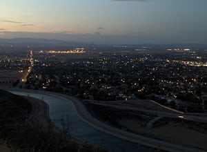
California Aqueduct Trail
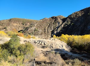
7.67 mi / 213 ft gainCalifornia Aqueduct Trail is an out-and-back trail that takes you past scenic surroundings located near Palmdale, California.Read more -
Lancaster, California
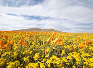
Antelope Valley Poppy Reserve
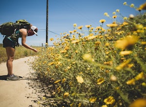
5.02 mi / 900 ft gainIf you're going during wildflower season, start your adventure at the visitors center at the end of 150th St. W. Parking in the lot outside the visitors center is $10, but there is ample street parking that is free. In the visitors center you can read more about the reserve, plan your hike, and s...Read more -
Santa Clarita, California
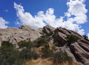
Hike the PCT and Foot Trail Loop through Vasquez Rocks
5.05.5 mi / 287 ft gainThe Pacific Crest Trail and foot trail hike is a 5-mile loop with a quick PCT branch-off that leads under the 14 freeway through a long, well-maintained (but very dark) tunnel. Pull into the well-marked parking lot and stop in the visitor center to take a look at the topographical park model and...Read more -
Agua Dulce, California
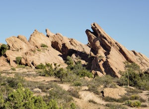
Vasquez Rocks
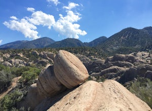
5.02.42 mi / 367 ft gainThis is a Natural Park Area located in Santa Clarita, within the Sierra Pelona Mountains. It features amazing diagonal rock formations, created because of the force between two tectonic plates pushing against each other. This place is a photographer's paradise, and every spot in this 900+ acre l...Read more -
Santa Clarita, California
Hike to Saint Francis Dam Disaster National Monument
3.2 mi / 153 ft gainThe Saint Francis Dam Disaster National Monument, established in 2019, memorializes the site where the Saint Francis Dam, built by famed engineer William Mulholland, collapsed in 1929, tragically killing more than 400 people in the middle of the night as a 150+ foot wave of water crashed through ...Read more -
Lancaster, California
Little Butte Trail
4.02.09 mi / 213 ft gainLittle Butte Trail is an out-and-back trail that is moderately difficult located near Llano, California.Read more -
Lancaster, California
Saddleback Butte State Park Loop
0.58 mi / 46 ft gainSaddleback Butte State Park is a state park in the Antelope Valley of the western Mojave Desert. It’s oftentimes looked over, but you’d be surprised what you can find there. Definitely a place to stop. It is located east of Lancaster. It can get hot so make sure to bring lots of water and wear su...Read more -
Castaic, California
Paddle Castaic Lake State Recreational Area
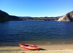
6 miCastaic Lake is a man made reservoir located 41 miles north of downtown Los Angeles, CA in the town of Castaic. Made up of two bodies of water, separated by a 425-foot dam, Upper and Lower Castaic Lakes have a combined 29 miles of shoreline forming the Castaic Lake State Recreational Area. The s...Read more -
Los Angeles County, California
Trail Canyon Falls
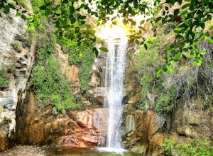
4.04.56 mi / 1017 ft gainTo get to the trail, take Big Tujunga Canyon Road until you see signs for Trail Canyon Road. The entry point is easy to miss, but keep an eye out for a stop sign and cars parked at the bottom of a dirt path. Drive up the dirt path for direct parking at the trailhead (4x4 is definitely recommended...Read more -
Pearblossom, California
Camp at Horse Flats Campground
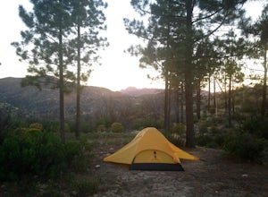
3.0The Horse Flats Campground is located 29 miles up Highway 2 from Interstate 210. You will turn left at the Santa Clara Divide Road(this intersection is also known as 3 Points). 3 miles down the road you will turn left to enter the campground. I have camped here a few times and its always been pre...Read more -
Palmdale, California
Camp at Chilao Campground
4.3While not as popular as shady Buckhorn Campground up the road, Chilao offers the better views and greater chances of scoring a peaceful and private campsite. There are two campsites located here (and two group camps down in the valley). Sites are first come, first serve, and cost $12 (bring exact...Read more -
Palmdale, California
Camp at Manzanita Loop in Chilao Campground
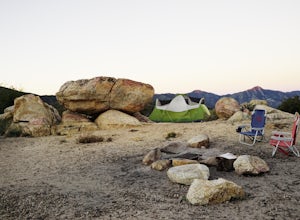
5.0Chilao Camp is located at an elevation of 5,300 feet, in the San Gabriel Mountains, and is divided into two different loops called the Manzanita and Pine.This specific adventure is for the Manzanita Loop, which is pretty much known as the more scenic loop, mainly because the area overlooks the Bi...Read more -
Los Angeles County, California
Big Tujunga Canyon Lookouts
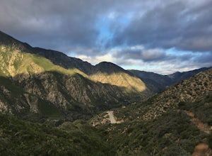
1.22 mi / 453 ft gainPark at the Condor Peak Trailhead, please note that this trail head is unmarked so keep your eyes peeled on the right side of the turnout for a small single track trail. The trail gradually climbs along the side of the canyon until reaching a 4 way intersection. To your left and to your right wil...Read more -
Lake Hughes, California
Hike the Pacific Crest Trail from Horse Trail to Bear Campground
11.63 mi / 2396 ft gainThis is part of the Pacific Crest Trail. If you're through-hiking or sectional hiking, you'll have to hit it eventually. Try and avoid it in the late summer or early fall because of heat, and gnats. Find a way to check the bug report, we got marauded by gnats 90% of the way (early October) and ap...Read more -
Pearblossom, California
Devil's Punchbowl and Devil's Chair
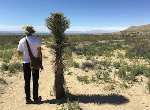
4.57.37 mi / 1870 ft gainWhat a hidden gem! A martian landscape full of faultline desert rock formations and joshua trees against a mountainous backdrop of the San Gabriels. Devil's Punchbowl Natural Area features a 1 mile well-marked, well-maintained single track loop trail inside the Punchbowl (great for kids) and a 7 ...Read more -
Pearblossom, California
Cooper Canyon Trail Camp
5.37 mi / 1214 ft gainThere's a small parking lot just below Cloudburst Summit on the way to Mount Waterman. Start your adventure there. I'd be hard-pressed to say it's more than 15 yards from the sign for the summit (7018' AMSL). There's a fire road, if you're newer to altitude and don't know how to read a map (or e...Read more
Top Activities
Camping and Lodging in Quartz Hill
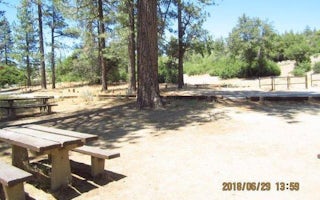
Pearblossom, California
Bandido Group Campground
Overview
Groups of all types will enjoy staying at the Bandido Group Campground, which boasts beautiful scenery in a relaxing, rustic atm...
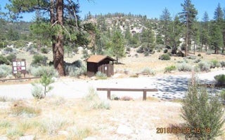
Palmdale, California
Meadow Group Campground
Overview
Meadow Group Campground is located off State Highway 2 between the Manzanita Loop of the Chilao Campground and the Chilao Ranger...
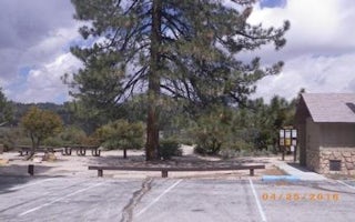
Palmdale, California
Coulter Group Campground
Overview
At Coulter Group Campground groups can relax and enjoy the experience of being outdoors without traveling far from the greater L...
Azusa, California
Jackson Flats
Overview
Jackson Flats is a group camping facility located next to beautiful Grassy Hollow Visitor Center, which holds numerous nature pr...
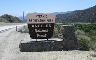
Castaic, California
Pyramid Lake Emigrant Landing Day Use Area
Overview
This facility does not accept reservations.
Emigrant Landing is the largest day use recreation area on beautiful Pyramid Lake. ...
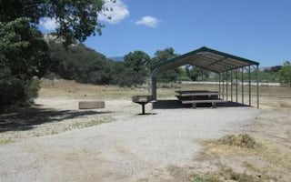
Castaic, California
Pyramid Lake Los Alamos Campground
Overview
Los Alamos Campground is located 90 minutes from Los Angeles, offering a restful experience without the lengthy travel time. Gue...

