Ramona, California
Looking for the best hiking in Ramona? We've got you covered with the top trails, trips, hiking, backpacking, camping and more around Ramona. The detailed guides, photos, and reviews are all submitted by the Outbound community.
Top Hiking Spots in and near Ramona
-
Mount Laguna, California
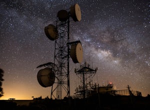
Night Shoot at Mt. Laguna USAF Station
This is a great stop when passing through the Anza Borrego Desert. The drive is very scenic, and passes through Sunrise Highway. Once you turn off the road, it's a very short drive up the hill where you will find a large spot to leave your car. There is a service gate that you can't drive through...Read more -
Mount Laguna, California
Red Trail Roost and Agua Dulce Trail Loop
4.04.63 mi / 591 ft gainRed Trail Roost and Agua Dulce Trail Loop is a loop trail where you may see wildflowers located near Julian, California.Read more -
Temecula, California
Dripping Springs Trail
4.013.68 mi / 3287 ft gainThe trail immediately begins to climb out of the campground on a well-graded incline. The next mile contains some climbing leading to a set of switchbacks. A long strenuous climb ensues until the 3200' elevation is reached. The trail then makes an easy southward traverse to the basin before resum...Read more -
Borrego Springs, California
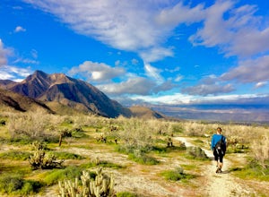
Hike to Maidenhair Falls via Hellhole Canyon in Anza Borrego Desert State Park
5.1 mi / 974 ft gainThis 5.1 mile hike begins near the visitor center of Anza Borrego Desert State Park and gains 974 feet of elevation while climbing up a canyon to a small waterfall. It is an interesting hike as you can see the plant life change as you get closer to the waterfall. There are parts where the trail g...Read more -
Borrego Springs, California
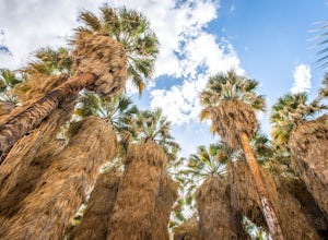
Hike through Borrego Palm Canyon
5.03.25 mi / 450 ft gainBorrego Palm Canyon Trail is located just north of the park visitor center, making it a convenient place to begin your exploration of the Anza-Borrego Desert. To reach the trailhead, drive through Borrego Palm Canyon Campground, the largest developed campground in the park, where an $8 day use fe...Read more -
Aguanga, California
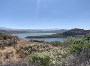
Vail Lake Loop
4.07.25 mi / 922 ft gainVail Lake Loop is a loop trail that takes you by a lake located near Temecula, California.Read more -
Borrego Springs, California
Camping in Anza-Borrego State Park
5.0With over 600,000 acres, Anza-Borrego Desert State Park is the largest state park in the contiguous United States. 500 miles of dirt roads, 12 wilderness areas and miles of hiking trails provide visitors with an unparalleled opportunity to experience the wonders of the Colorado Desert. The park i...Read more -
Borrego Springs, California
Hike the Panorama Overlook in Anza Borrego Desert State Park
1.6 mi / 636 ft gainThis is an out and back 1.6 mile round trip with 636 feet of elevation gain. The top has excellent views of Anza Borrego. It is close to the visitor center.Read more -
Campo, California
Kitchen Creek Falls Trail
4.04.83 mi / 722 ft gainKitchen Creek Falls Trail is an out-and-back trail that takes you by a waterfall located near Pine Valley, California.Read more -
San Diego County, California
Hiking the Laguna Hills via the PCT
5.020 mi / 2000 ft gainThis trail is well-maintained, but gets a little rocky on the PCT, and the Chariot Fire burn-zone between Penny Pines and Hayes peak will have a few downed trees and some overgrown grasses. On the other hand, the trail network of the BLT is confusing to follow as the entire network is named "Big ...Read more -
Oceanside, California
Bike or Skate the Strand
4.01 mi / 0 ft gainOceanside's iconic Strand is a 1 mile long ocean-front road that is perfect for cycling, walking, and running. At various points it is one way or pedestrian only, and is a must-do for any visitors to Oceanside.From the north The Strand begins at Breakwater Way and heads south underneath The Ocean...Read more -
San Diego County, California
Hike Sheep Canyon
5.03 mi / 1000 ft gainSheep Canyon is probably the most remote palm canyon in Anza-Borrego Desert State Park in California. While Palm Canyon is easily accessed from the State Park campground, Sheep Canyon is on a dirt road that requires stream crossings and potentially a high-clearance 4WD vehicle. The canyon is nam...Read more -
Julian, California
Agua Caliente Hot Spring
5.01.53 mi / 164 ft gainAgua Caliente Hot Spring is an out-and-back trail that takes you by a hot springs located near Julian, California.Read more -
San Diego, California
Explore Cabrillo National Monument
4.5Cabrillo National Monument is named after Juan Rodriguez Cabrillo, the first European explorer to reach America's Wet Coast. There are many knowledgable rangers in the park who are eager to share interesting historical facts. Activities in the park include hiking: the Bayside Trail offers 2 mile...Read more -
San Diego, California
Bayside Trail
4.01.99 mi / 397 ft gainThe Bayside Trail features beautiful spring wild flowers and is accessible year-round. The trail is wide with a few rest stops and benches along the way. The trail is breezy, much cooler than many trails inland, featuring ocean views throughout the duration. This monument commemorates the landi...Read more -
Fallbrook, California
Hike the Santa Margarita River Trail
5.05 mi / 469 ft gainSanta Margarita River Trail is a 5 mile out-and-back hike that takes you near the river in Fallbrook, CA. This trail provides some shade which is helpful on hot days. If you bring your swimsuit you can hop in for a dip on hotter days. Make sure you wear good hiking shoes due to some rocky terrai...Read more

