Ramona, California
Looking for the best photography in Ramona? We've got you covered with the top trails, trips, hiking, backpacking, camping and more around Ramona. The detailed guides, photos, and reviews are all submitted by the Outbound community.
Top Photography Spots in and near Ramona
-
San Diego County, California
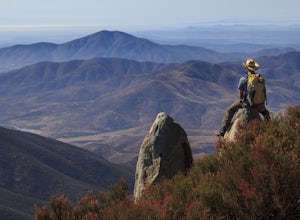
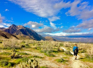
Hike Garnet Peak Trail
3.02.6 mi / 500 ft gainWhile there are a few trail options, the designated Garnet Peak Trail begins off of Sunrise Highway at Mile Marker 27.8. There is a small pull-off on the east side of the road with a sign denoting the trail. An Adventure Pass is required for parking in this area of Cleveland National Forest.The f...Read more -
Encinitas, California
Photograph Surfers at Beacons Beach
5.0Pack for a day of fun, and don’t forget your camera! Getting there is easy. You can plug “beacons beach” or Leucadia State Beach right into your gps. You’ll find it right off of Neptune Street, where you can park in the parking lot on top of the sea bluff. Walk down the windy beach trail and you ...Read more -
San Diego County, California
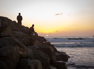
Photograph Scripp's Pier
4.9Parking is easy, there are tons of random street you can park on just a little walk away. Be sure to arrive on scene at least an hour before sunset. Make sure to look up the sunset time and the weather forecast. Clouds will make for the most dramatic images with the most color from the sunset. Ex...Read more -
Carlsbad, California
Hike and Fish at Lake Calavera
4.06.24 miLake Calavera Preserve is located in Carlsbad, CA and is home to one of North America's smallest volcanoes. It is the end peak of each trail and is what's known as a "volcanic plug" (cool hardened lava). The northern face of Mount Calavera is that of columnar joints- columns of molded lava. Geolo...Read more -
Chula Vista, California
Hike Mother Miguel Mountain
5.04.5 mi / 977 ft gainAt the summit, your work will be rewarded with stunning views from downtown San Diego all the way to Mexico. You can also see the surrounding mountain peaks and the Sweetwater Reservoir. This is a great hike to do at sunset - but bring a headlamp / flashlight for the hike back down. This trail i...Read more -
Jamul, California
Hiking Otay Mountain
5.015.3 mi / 2903 ft gainThe trek begins on the Otay Mountain Truck Trail at Pio Pico Resort & Campground. You can either park and hike the entire trail, or drive up to a point a couple miles and park before the road becomes steep and rough. The distance on here is if you hiked the whole way. If you have a 4-wheel dr...Read more -
San Diego, California
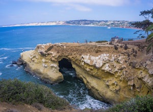
La Jolla Cove
4.8La Jolla Cove is one of the most photographed beaches in San Diego, located on the coast just south of Torrey Pines Natural Reserve. La Jolla Cove is also one of the best spots in San Diego for snorkeling and scuba diving. This calm cove is ecologically protected with many animals making their ho...Read more -
San Diego, California
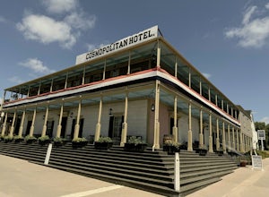
Old Town San Diego State Historical Park
4.51 miFrom where Father Junipero Serra established the first of 21 California Missions in 1769, this area was the first permanent European settlement in the San Diego region. Today, past and present meet in a preserved historical park located near Downtown San Diego. You can explore life as it was in ...Read more -
San Diego, California
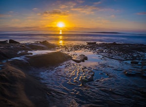
Photographing Hospitals Reef
5.0Hospitals Reef is a photographer’s paradise. San Diego is known for its many beaches, but Hospitals Reef is one of my favorites to photograph. It’s easy to see why when you get there. The unique rocky shoreline is home to many unusual and wonderful sights.There is a section of rocks filled with p...Read more -
Mount Laguna, California
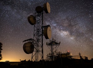
Night Shoot at Mt. Laguna USAF Station
This is a great stop when passing through the Anza Borrego Desert. The drive is very scenic, and passes through Sunrise Highway. Once you turn off the road, it's a very short drive up the hill where you will find a large spot to leave your car. There is a service gate that you can't drive through...Read more -
Coronado, California
Explore Bayview Park
5.0Even though I am quite familiar with this spot, I doubt that most San Diegans have sat in the benches at this little park to take in the sunset, sunrise, or spectacular views of downtown San Diego. I'm absolutely positive that most out-of-towners have no idea that this little gem exists. I want t...Read more -
San Diego, California
Ocean Beach Dog Beach
5.0Ocean Beach Dog Beach is considered "The Original Dog Beach" and one of the first leash-free dog beaches in the U.S., according to city's website. There's something really magical about being at a beach during sunset, and even up to an hour after sunset can still cast beautiful light on the wat...Read more -
Temecula, California
Dripping Springs Trail
4.013.68 mi / 3287 ft gainThe trail immediately begins to climb out of the campground on a well-graded incline. The next mile contains some climbing leading to a set of switchbacks. A long strenuous climb ensues until the 3200' elevation is reached. The trail then makes an easy southward traverse to the basin before resum...Read more -
Borrego Springs, California
Hike to Maidenhair Falls via Hellhole Canyon in Anza Borrego Desert State Park
5.1 mi / 974 ft gainThis 5.1 mile hike begins near the visitor center of Anza Borrego Desert State Park and gains 974 feet of elevation while climbing up a canyon to a small waterfall. It is an interesting hike as you can see the plant life change as you get closer to the waterfall. There are parts where the trail g...Read more -
Borrego Springs, California
Hike through Borrego Palm Canyon
5.03.25 mi / 450 ft gainBorrego Palm Canyon Trail is located just north of the park visitor center, making it a convenient place to begin your exploration of the Anza-Borrego Desert. To reach the trailhead, drive through Borrego Palm Canyon Campground, the largest developed campground in the park, where an $8 day use fe...Read more -
Borrego Springs, California
Camping in Anza-Borrego State Park
5.0With over 600,000 acres, Anza-Borrego Desert State Park is the largest state park in the contiguous United States. 500 miles of dirt roads, 12 wilderness areas and miles of hiking trails provide visitors with an unparalleled opportunity to experience the wonders of the Colorado Desert. The park i...Read more

