Salinas, California
Looking for the best photography in Salinas? We've got you covered with the top trails, trips, hiking, backpacking, camping and more around Salinas. The detailed guides, photos, and reviews are all submitted by the Outbound community.
Top Photography Spots in and near Salinas
-
Carmel-by-the-Sea, California
Whalers Cove Loop
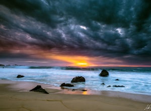
4.31.42 mi / 253 ft gainPoint Lobos is one of the hidden gems of the California coast. Located just off of Route 1 right after Monterey, Point Lobos is a state park on the coast. The cost to explore inside is ten dollars, but so worth it. As you explore, be sure to hike around Whalers Cove, which is incredible at sunse...Read more -
Carmel-by-the-Sea, California
Soberanes Point
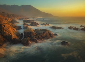
1.82 mi / 295 ft gainGarrapata State Park is located along California's Highway 1, roughly 5 miles south of Carmel, California. The park is entirely free with multiple pull-outs and serves as one of the first grand views travelers encounter while heading south from the Monterey Peninsula to southern California. Garra...Read more -
Carmel-by-the-Sea, California
Secluded Beach Near Soberanes Point
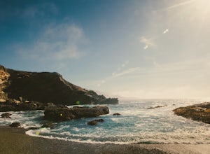
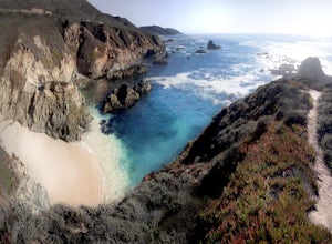
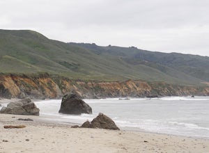
5.00.2 mi / 40 ft gainWhen we stumbled upon this beach we were thrilled to have such great views with no crowds. There is plenty of room to lay out in the sun, you can swim in the ocean to cool off, and the beach is surrounded by beautiful landscape. If you decide to swim be very careful as the waves and currents ca...Read more -
Carmel-by-the-Sea, California
Calla Lily Valley
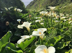
4.50.31 mi / 46 ft gainParking for Calla Lily Valley is available along the dirt pullout at Gate 19 for Garrapata State Park, near mile-marker 63. Signs are small and difficult to see. Follow the path between the guide wires and take the right fork, heading north to the bluff overlooking the beach. Continue north and f...Read more -
Carmel-by-the-Sea, California
Garrapata Beach
4.6A wonderful roadside beach and state park. Easy parking on both sides of Hwy. 1 with short access trails. There are almost 2 miles of coastline trails heading north and south from the parking area. The north end of the beach is great for swimming and surfing when the sea is calm and the south ...Read more -
Soledad, California
Explore Dreamy Wrath Wines Vineyards
Just a short drive from some of the best trails and rock climbing at Pinnacles National Park, Wrath Wines' Soledad winery is a great way to wine'd down after a day of adventure. What makes this grape growing region unique is the constant marine layer fog and wind stress out the grapes (that’s a ...Read more -
Carmel-by-the-Sea, California
Pat Springs via Skinners Ridge
3.513.18 mi / 3645 ft gainBackpacking to Pat Springs is a way to see Big Sur and the San Lucia mountains from a perspective that few get to experience. The Ventana Wilderness is rugged and remote, yet Pat Springs is one of the most beautiful campgrounds around that will allow you to take in this amazing terrain. To get ...Read more -
Monterey, California
Bixby Bridge
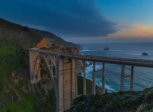
4.7You can't miss this bridge if you are driving north on highway one. The best time for capturing sunsets behind the bridge is December. The positioning of the sun will better coincide with the location of the bridge.There are four main angles to capture the bridge: The first two are up close on ...Read more -
Aptos, California
Hike to Nisene Marks' Maple Falls
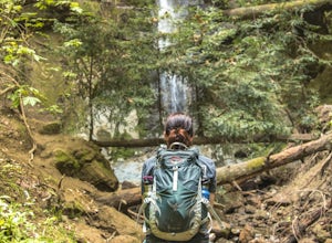
4.68.5 mi / 900 ft gainAs you enter the park, you'll need to pay $8 for parking via a self-pay envelope, so it's recommended that you bring exact change. At the park booth, be sure to grab a map. The hike can be a little tricky with no cell service and limited trail signage. Once you've grabbed your map, keep driving p...Read more -
Paicines, California
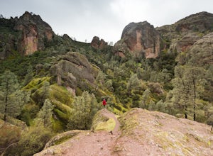
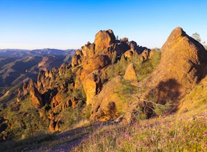
Hike the Juniper Canyon, High Peaks, Tunnel Trail Loop in Pinnacles NP
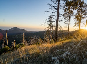
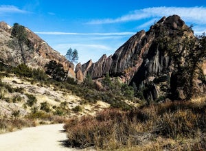
5.04.3 mi / 1200 ft gainPinnacles National Park is located just over two hours outside of San Francisco (depending on the traffic). It was designated the 59th national park in 2013 and while it is small it offers beautiful views and unique wildlife viewing. Keep an eye out for California condors on this hike! This trail...Read more -
Santa Cruz, California
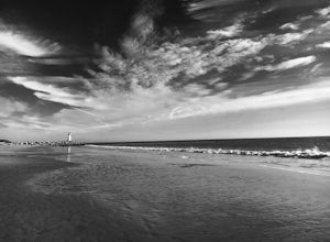
Beach Day at Lighthouse Field State Beach
4.0This beach is less crowded compared to other beaches in Santa Cruz. I got there early on a Saturday and found easy street parking. There was plenty of space to spread out on the soft sand. Later in the day I saw dolphins several times! This is close to the Santa Cruz Surfing Museum. It’s als...Read more -
San Benito County, California
Explore Pinnacles National Park
4.6It’s hard to believe how many people don’t know about this place, which was newly designated as a National Park in January 2013. Pinnacles National Park is hidden just south of San Jose in the Gabilan Mountains, and is a short drive for anyone living in the Bay Area.With beautiful rock spires pie...Read more -
Morgan Hill, California
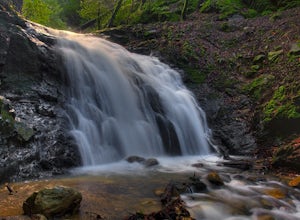
Uvas Canyon Waterfall Hike
4.01.5 miUvas Canyon offers up to 6-miles of hiking trails, which includes a 1.5 mile loop, which runs along Swanson Creek and passes many of the park's waterfalls. To take short loop, head North out of the parking lot to the Swanson Creek Trail. Once you find Swanson Creek Trail, you'll be on the Waterfa...Read more -
Paicines, California
Hike the Old Pinnacle Trail in Pinnacles National Park
5.09 mi / 2000 ft gainStart at the Old Pinnacles Trailhead and embark on a roughly 9 mile long adventure surrounded by amazing geological rock formations and natural landscapes. Bask in the peace of nature... meander through meadows alongside the West Fork of Chalone Creek and into Old Pinnacles. Continuing on at the ...Read more -
Paicines, California
Hike to Bear Gulch Reservoir in Pinnacles National Park
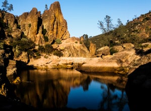
3.51.5 mi / 275 ft gainStart the hike from the Bear Gulch Trail Parking lot. While pulling in, the trail head is on the left. The Trail is marked Reservoir, Caves, and High Peaks. Continue down the trail until faced with a junction. Make sure to admire rock formations while hiking!At the junction take the Bear Gulc...Read more -
Big Sur, California
Hike the Creamery Meadow Trail to Molera Beach
2 miEntrance to the parking lot is $10 per car, and once you get in be sure to use the restroom before you head for the trail, since you will likely spend a good amount of time out there.Look for the sign that says Creamery Meadow Trail. You'll know it's right when the very first thing you'll need to...Read more

