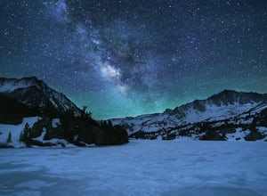
Sequoia National Park, California
Looking for the best fishing in Sequoia National Park? We've got you covered with the top trails, trips, hiking, backpacking, camping and more around Sequoia National Park. The detailed guides, photos, and reviews are all submitted by the Outbound community.
Top Fishing Spots in and near Sequoia National Park
-
Big Pine, California
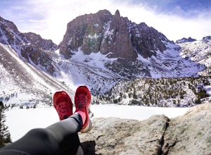
Fourth Lake via Big Pine Creek North Fork Trail
4.012.6 mi / 3205 ft gainFrom Big Pine, you'll turn onto Crocker St. to head towards the mountains. Once you are about 11 miles down the road you will see a sign and a turnoff on the right for trailhead parking. That is where you are going to want to park if you are staying overnight but you can continue to where the roa...Read more -
Bishop, California
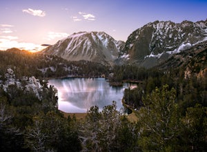
First and Second Lake via Big Pine Creek North Fork
5.09.57 mi / 2392 ft gainThe North Fork of Big Pine Creek is often cited as having the most unbelievable scenery reachable in a single day. And it's hard to disagree. The Big Pine Creek North Fork trail is just minutes outside of Big Pine off the 395. If going in the winter, access to the trailhead can be closed off, so...Read more -
Shaver Lake, California
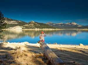
Camp at Voyager Rock Campground
4.0The paved road ends at the Maxson Trailhead parking lot on the SE side of Courtright Reservoir. The adventure starts with a glance to the left, down a rock-strewn dirt track that leads off further into the wilderness. You're wondering, "Is that the trail?" and "Do I dare?"The Dusy-Ershim Trail of...Read more -
Bishop, California
Treasure Lakes Trail
5.05.79 mi / 1375 ft gainThe Treasure Lakes Trail is dog and kid friendly, just make sure all parties can handle the elevation gain. The scenery throughout the entire hike is amazing, and early in the summer, the creeks roar. The lake is perfect for cooling off on a hot summer day. The trail is best used in the summer an...Read more -
Bishop, California
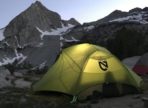
Long Lake via Bishop Pass
5.51 mi / 991 ft gainDirections The trailhead for Long Lake starts by South Lake outside Bishop, CA. You'll want to take Line Street, which is the 168, West out of Bishop. Approximately 14 miles up, you'll want to merge left towards South Lake. This junction is well-signed if you keep an eye out for it. Head th...Read more

