Somerset, California
Top Spots in and near Somerset
-
Zephyr Cove, Nevada
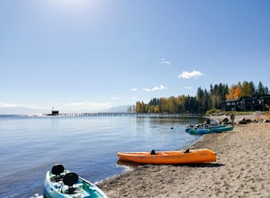
Photograph Zephyr Cove at Sunset
5.0After pulling into the parking it is only a a few minute walk right down to the beach. This place is incredible for sunrise and and sunset. The water is so calm because its tucked back in the cove which gives awesome reflections of the sky in the water. Make sure to bring a tripod and neutral den...Read more -
Olympic Valley, California
Hike the Shirley Canyon Cascades Trail
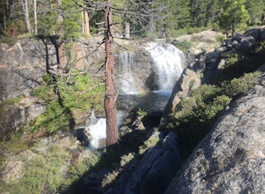
3.6 mi / 2109 ft gainThis trail has lots of elevation over a short distance, be warned! The Shirley Canyon Cascades Trail is close to Olympic Valley in the North Lake Tahoe region. Dogs are allowed on this trail if kept on leash.Read more -
Olympic Valley, California
Hike the Thunder Mountain Trail
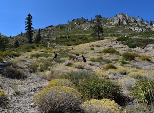
5.03.2 mi / 2000 ft gainThe Thunder Mountain Trail is the perfect hike to explore the Squaw Valley Alpine Meadows. Squaw may be famed for its mountain ski runs in the winter, but when the snow melts in the summer, beautiful alpine meadows line the mountain and the ski runs turn into hiking trails! The Thunder Mountain T...Read more -
Arnold, California
Upper Gardner Meadow via Highland Lakes Trail
3.96 mi / 364 ft gainUpper Gardner Meadow via Highland Lakes Trail is an out-and-back trail where you may see wildflowers located near Markleeville, California.Read more -
Tahoe City, California
Paddle Commons Beach
5.0Commons Beach is a small beach and park on the northwest side of the lake. It is located very close to the CA-89 exit, so is ideal for road trip stops. There is a park for kids, and a grassy area near the beach. The beach itself is on the smaller side, but is relatively uncrowded. This area of th...Read more -
Glenbrook, Nevada
Castle Rock via Tahoe Rim Trail
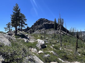
5.01.79 mi / 407 ft gainCastle Rock via Tahoe Rim Trail (The Bench) is an out-and-back trail that takes you through a nice forest located near Zephyr Cove, Nevada.Read more -
Glenbrook, Nevada
Catch a Sunset at Cave Rock
4.70.8 mi / 127 ft gainThis short hike is just off of highway 50 and provides one of the best views of Lake Tahoe. From South Lake Tahoe, head north on Highway 50 past Zephyr cove until you see Cave Rock Drive. Take this road until it dead ends and park in the small gravel lot. After following the trail out of the park...Read more -
Zephyr Cove, Nevada
Castle Rock Loop
5.02.84 mi / 630 ft gainThis hike is located near Stateline, Nevada. The trail joins the Tahoe Rim Trail for part of the hike. Be aware that there will be snow on the trail from November - late May, early June depending on snowfall. Bring snowshoes / appropriate boots if you wish to use the trail in the winter. Experien...Read more -
Tahoe City, California
Photograph the Lupine at Lake Forest Beach
A quick walk through Lake Forest Beach in Tahoe City, California provides unparalleled opportunities to photograph expansive fields of lupine. These brilliant purple wildflowers cover the lowland shore of this public beach each summer, typically starting in mid-July through mid-August. In drought...Read more -
Tahoe City, California
Purple Trail and Burton Creek Loop
3.76 mi / 492 ft gainBurton Creek State Park is a moderate hike. It is a secluded peaceful hike that offers amazing views of the lake. This is a popular spot for mountain bikers, but is also ideal for hiking. Much of the trail is through the forest and there are many maps and signs pointing out the trails. The hike ...Read more -
Placer County, California
Paddle Lake Valley Reservoir
A perfect adventure spot off Highway 80, Lake Valley Reservoir offers paddlers prime parking and a paved boat launch to push off on a mountain lake with an island for picnicking. Lake speed is 10 mph so fishing boats with outboards are allowed but they have to take it slow. Post launch, head le...Read more -
Nevada City, California
Take a Family Ride
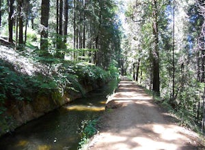
4.5Well if you start at Banner Lava Cap and Gracie Roads then you will see the canal at the top of Gracie Rd. Hop onto the berm of the canal and head north {upstream}. The trail is dirt and about 4 ft wide in the beginning and widens to 6 to 8 ft for most the way . Continue upstream on the canal and...Read more -
Emigrant Gap, California
Loch Leven Viewpoint Trail
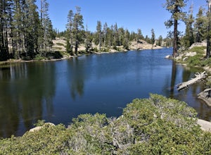
5.06.41 mi / 1522 ft gainLoch Leven Viewpoint Trail is an out-and-back trail to a viewpoint of the Loch Leven Lakes that is moderately difficult located near Truckee, California. This trail is just under 6.5 miles. If you're willing to add a little more than a mile to your adventure, you can head all the way to Upper Loc...Read more -
Loch Leven Lakes Trailhead, California
Loch Leven Lakes Trail
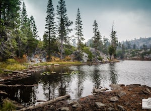
4.47.6 mi / 1480 ft gainThe trail is easy to follow for the first half mile until you get to some large slabs of granite. As you continue up the trail look for stacked rocks, these will give you a an easy route as you continue up the mountain. The trail then starts to switch back eventually leading to a small bridge. Af...Read more -
Emigrant Gap, California
33mi Loop to Donner Lake
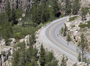
33 miWe love this 33-mile loop on old Highway 40 from Cisco Grove to Donner Lake and back. It has just about everything: a few flats, a long slow pull, rollers, a screaming downhill, a tough Alpine climb and a long, cruising downhill. Not to mention altitude. The ride starts at a little above 6,000 fe...Read more -
Truckee, California
Backpack the Palisades Creek Trail
4.015 mi / 2200 ft gainAfter driving out to Kidd Lakes and parking at the trailhead, you take off through some easy forest hiking past Cascade Lakes and Long Lake. Pay attention to the cairns marking the trail as you traverse across a large granite section with Devils Peak to your West. The trail is easy to follow and ...Read more

