Sunol, California
The best Trails and Outdoor Activities in Sunol, California, offer top-notch scenic views and outdoor adventures. One must-visit is the Ohlone Wilderness Trail, a challenging 28-mile hiking trail that boasts a variety of natural features. As you hike, you'll encounter beautiful landscapes filled with rolling hills, oak trees, and abundant wildlife. The trail also offers stunning views of the San Antonio Reservoir and the Livermore Valley. For a shorter hike, the Little Yosemite area offers a 2-mile trail alongside a creek, with small waterfalls and large boulders. Other outdoor activities in and near Sunol include fishing in the Alameda Creek and bird watching, with over 100 species of birds reported. Remember to pack your hiking boots and binoculars for the best experience.
Top Spots in and near Sunol
-
Larkspur, California
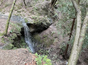
Dawn Falls Trail Loop
2.79 mi / 466 ft gainDawn Falls Trail Loop is a loop trail that takes you by a waterfall located near Larkspur, California.Read more -
Larkspur, California
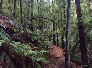
Dawn Falls Trail
4.52.29 mi / 344 ft gainTake the Dawn Falls trail down into the Baltimore Canyon for an in-depth exploration of northern California nature. Rather than the usual dry, hardy vegetation that speckles the hills of many nearby trails, this trail is bursting with lush ferns and mossy trees as it meanders along next to Larksp...Read more -
San Rafael, California
Gold Hill Grade to Nike Missile Site
4.04.37 mi / 988 ft gainThe Gold Hill Grade to Nike Missile Site trail in San Rafael, California, is a moderately challenging hike. The trail spans approximately 4.37 miles round trip, with an elevation gain of about 988 feet. The path is well-maintained and marked, making it suitable for hikers of varying skill levels....Read more -
Mill Valley, California
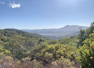
Temelpa Trail
4.52.94 mi / 1929 ft gainThe Mt. Tam Hill Climb via Temelpa Trail is an iconic, "best-of" climb in the trail running community, drawing some of the world's greatest athletes to experience its breathtaking views and technical downhill. Surprisingly though, outside of locals and the running community, the trail remains lar...Read more -
Santa Cruz, California
Photograph the UC Santa Cruz Arboretum
5.0No matter the time you'll decide to visit the UC Santa Cruz Arboretum, you'll have thousands of interesting plants and birds to see and watch. The Arboretum is located on the west side of UCSC campus, between the main campus entrance and the west entrance. Parking is 5$ for adults and 2$ for chil...Read more -
San Rafael, California
China Camp Loop
4.09.23 mi / 1716 ft gainPark at the lot in the China Camp State Park. Hop onto the Bay View trail to gain to begin the loop trail. Switchbacks take you up to a long and easy path passing through shaded and open areas. Enjoy the grasslands speckled with oak trees and coyote brush. You can see the San Rafael bay and bridg...Read more -
Davenport, California
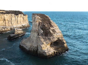
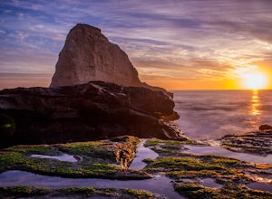
Beach Picnic at Shark Fin Cove
4.3Shark Fin Cove is a large rock formation in an inlet off Highway 1 in Northern California. It is located 1 mile south of Davenport and 10 miles north of Santa Cruz. There is a sizable parking lot located on the side of Highway 1 to park in. Walk down the path left of the parking lot and cross the...Read more -
Santa Cruz, California
Surf the Hook
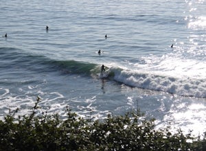
4.0The hook is a surf spot found on the east side of Santa Cruz, located along East Cliff drive. If you keep driving past Pleasure Point, you'll get to it. It's a right hand point break that is usually smaller in size than Pleasure Point. It's a very crowded spot due to the easy access parking lo...Read more -
Santa Cruz, California
A Beach Bonfire in Santa Cruz at Twin Lakes SB
This one-mile stretch of beach is the perfect option for those looking for a peaceful Santa Cruz experience, but without the crowds. The beach features soft sand, playful surf, an awesome view of Walton Lighthouse, and a handful of fire pits to choose from. It's a great spot to spend the entire d...Read more -
Santa Cruz, California
Bonfire at Seabright State Beach
5.0This is a wide, beautiful beach that's an amazing spot to spend the day and enjoy a bonfire at night. Seabright is probably the most popular spot in Santa Cruz for a bonfire, due to its convenient proximity to the Beach Boardwalk. But luckily, this beach is tucked in between the San Lorenzo River...Read more -
Mill Valley, California
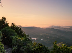
Summit of Mt. Tamalpais Loop
5.01.15 mi / 394 ft gainMt. Tam is a large park with plenty of amazing viewpoints, but the East routes and the East Peak are best for sunsets. Once you're at the top, it's an amazing spot to view a large number of Marin trails, which can help you can get a head start on planning your next adventure. At 2,570 feet, this ...Read more -
Santa Cruz, California
Surf Pleasure Point
4.0Pleasure Point is located on the east side of Santa Cruz, California. It is a right hand point break that breaks year round. It is a popular surf spot for many people that live in the San Francisco Bay Area. There are 3 different peaks that break at Pleasure Point. Sewers, which is the furthest ...Read more -
Santa Cruz, California
Explore Panther Beach
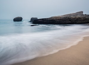
4.5Panther Beach's white sand, clear water, and interesting rock formations make it one of the most stunning beaches along this stretch of CA1. But this is a hidden gem for a reason - there are no signs along CA1 for Panther Beach. You need to keep you eyes peeled for cars parked along the side of t...Read more -
Santa Cruz, California
Photographing the Sunset at Panther Beach
5.0Probably my favorite beach in the Santa Cruz area. Panther Beach lies just south of Davenport along the beautiful Hwy 1. Park at a large dirt pull out on the left hand side if your heading north from Santa Cruz. The trail down to the beach is steep and not that well maintained so watch your step....Read more -
Mill Valley, California
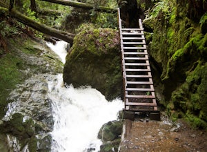
Steep Ravine Trail via Pantoll Station
5.03.96 mi / 1079 ft gainThe trailhead Pantoll Station is easy to find on GPS and there are friendly rangers there as well to answer questions.Maps: Paper map are available at the trailhead Pantoll Station in Marin, CA. For a moderate hike, I suggest going the one and a half miles down the trail to the ladder and retu...Read more -
Mill Valley, California
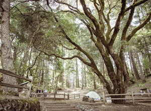
Camp at Mt. Tam's Pantoll Campground
5.0Need an escape from SF, but can't seem to find an available campground, then head to Pantoll Campground in Mount Tamalpais State Park. If you get there early on friday (or even better Thursday afternoon), you should be able to lock down one of these first-come, first-serve campgrounds. Each of th...Read more

