Ukiah, California
One of the top outdoor adventures in Ukiah, California, is the Low Gap Park Trail. This 4.5-mile loop trail offers a moderate challenge, making it a must-visit for those who enjoy a good hike. The trail is known for its scenic views, including a creek, a variety of trees, and unique rock formations. Another notable outdoor activity in Ukiah is fishing at the nearby Lake Mendocino, a reservoir that's home to bass, catfish, and bluegill. If bird watching is your thing, the Grace Hudson Museum Sun House is a prime spot. The best Trails and Outdoor Activities in Ukiah provide a mix of physical challenge and natural beauty, making them perfect for a day of outdoor fun.
Top Spots in and near Ukiah
-
Fort Bragg, California
Glass Beach
4.0Glass Beach is located at MacKerricher State Park in Fort Bragg, CA along the Pacific Coast Highway in Northern California. Take Elm street toward the beach and the parking lot entrance for glass beach will be located on the left at the bend. From here, its a short walk on some pathways. This be...Read more -
Fort Bragg, California
Mackerricher State Park
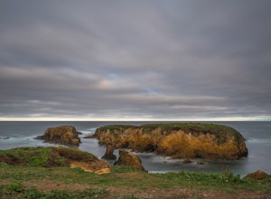
Arrive an hour or so before sunset and have plenty of time to explore a ton of different things. Walk along the beach, we had it to ourselves mind you. Not another footprint in the sand. Stroll around the boardwalks out to the point. Walk down to the tide pools, and stayed for one of the most spe...Read more -
Jenner, California
Hike the North Trail to the Pygmy Forest
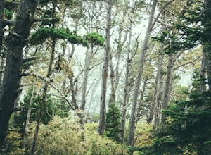
4 mi / 800 ft gainSalt Point State Park, about 90 miles north of San Francisco, features rugged, windswept coastline and dramatic forests of cypress, pine and redwoods. The North trail is a great way to experience much of the inland portion of the park including the unique Pygmy Forest, named for the stunted trees...Read more -
Jenner, California
Hike the Central Trail
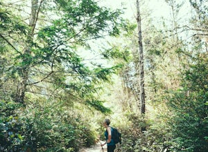
3.6 mi / 800 ft gainSalt Point State Park, about 90 miles north of San Francisco, features rugged, windswept coastline and dramatic forests of cypress, pine and redwoods. The Central Trail is a great way to experience much of the inland portion of the park including a unique highland Prairie where elk graze and are ...Read more -
Jenner, California
Bolete Mushroom Hunting
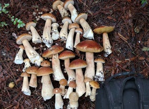
Salt Point State Park is a state park in Sonoma County, California, United States. The park covers 6,000 acres (2,400 ha) on the coast of Northern California, with 20 miles (32 km) of hiking trails and over 6 miles (9.7 km) of a rough rocky coast line including Salt Point which protrudes into the...Read more -
Jenner, California
Camp and Dive at Salt Point State Park
4.7Camping at Salt Point Sate Park is a dream. You have your choice of camping by the sea at Gerstle Cove campground, or tucked up into the forest at the Woodside campground…and you can’t go wrong with either choice.The rugged and beautiful coastline here is a popular destination for abalone diving ...Read more -
Jenner, California
Abalone Diving at Salt Point State Park
5.0Jenner is a great spot to head out in calm water with your abalone gear. The dives will be in depths of 10 to 15 ft. of water, with visibility usually in the 5-20 ft. range. Spend a little time doing your homework before entering the water and you'll be able to find easier entry areas.When you he...Read more -
Jenner, California
Hike the Salt Point Trail
3.73 mi / 100 ft gainThere are numerous points at which you can enter the trail from Highway 1, but on the north it begins as the Salt Point / Stump Beach Parking area and proceeds 1.2 miles to the Visitor Center (and south entrance) at the Gerstle Cove State Marine area, one of the first underwater state parks in Ca...Read more -
Jenner, California
Camp at Stillwater Cove
4.0It's a short walk down to the beach and there is a nice trail that follows along the creek. Campground features include potable water, restrooms with coin -operated showers, flush toilets, and electrical outlets. There is also a dump station. Please note: there are no RV hook-ups. Check out more...Read more -
Guerneville, California
Austin Creek State Recreation Area Loop
5.08.65 mi / 1722 ft gainThe hike starts at the Gilliam Creek Trailhead, halfway up Armstrong Woods Road on the way to Bullfrog Pond. There is an $8 fee to enter the park, to be paid at the ranger kiosk as you enter Armstrong Woods. HIKING Begin hiking by descending the Gilliam Creek Trail. The descent is long and ste...Read more -
Cazadero, California
Bouldering at Fort Ross
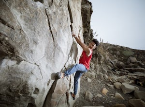
3.0The main boulder is right there on the water. You literally have to watch out for the waves coming up on the shore otherwise they might wipe out your camp. But it's an awesome spot with even more awesome routes. There's also a traverse along the back wall if you're looking for something a little ...Read more -
Clearlake Oaks, California
Cache Creek Ridge: Judge Davis Trailhead
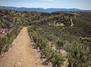
4.010.26 mi / 2018 ft gainCache Creek Ridge: Judge Davis Trailhead is an out-and-back trail that takes you by a river located near Williams, California.Read more -
Guerneville, California
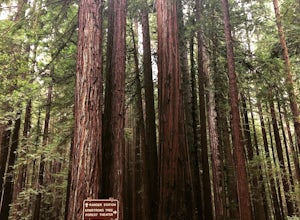
Parson Jones and Colonial Armstrong Redwood Trees
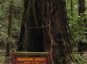
5.0The Parson Jones Tree is the tallest tree in the reserve, measuring more than 310 feet (94 m) in height. This is longer than the length of a football field! Named after a lumberman who chose to preserve this portion of the park in the 1870s, the Colonel Armstrong Tree is the oldest tree in the ...Read more -
Westport, California
Northern Mendocino Camping and Surf Adventure
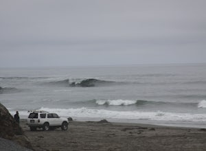
4.5I know it can be difficult to find access and opportunities to camp for free on the beach. Look no further, Blues Beach is off the beaten path and offers year round surf and free camping. It’s 200 miles North of San Francisco and a few miles North of Fort Bragg. As long as you keep your eyes on t...Read more -
Guerneville, California
East Ridge - Pool Ridge Loop
4.53.37 mi / 810 ft gainThis park most resembles Muir Woods, and if you're looking to get out of the tourist trap, head to Armstrong Redwoods and make a day of it. This 3-mile hike takes off from the sign pointing to East Ridge Trail. As you begin a slight climb up the trail, you'll be under the cover of the redwoods, s...Read more -
Guerneville, California
Johnson's Beach
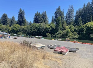
Johnson's Beach is a public beach located on the Russian River in Guerneville, California.Read more

