Bailey, Colorado
Looking for the best mountain biking in Bailey? We've got you covered with the top trails, trips, hiking, backpacking, camping and more around Bailey. The detailed guides, photos, and reviews are all submitted by the Outbound community.
Top Mountain Biking Spots in and near Bailey
-
Breckenridge, Colorado
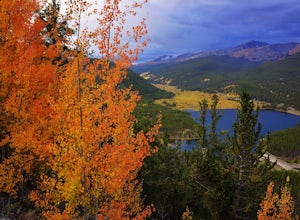
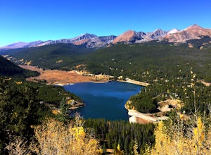
Camp at Boreas Pass
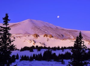
9 mi / 1500 ft gainBoreas pass is a high mountain pass in the Rocky Mountains that sits on the Continental Divide at 11,481'. Forest Service Road 33 goes over the pass and has numerous campsites all along its length, with several near the summit that feature breathtaking views of the Tenmile Range and the Breckenri...Read more -
Breckenridge, Colorado
MTB Boreas Pass
Boreas Pass is a scenic route that lies between Como (north of Fairplay on Hwy 285) and Breckenridge. It is 21 miles of low maintenance, rough gravel road that follows the Continental Divide and summits at 11,481 feet. Other than the altitude, the ride is not difficult, as the grade is not steep ...Read more -
Lakewood, Colorado
Green Mountain Mountain Bike Loop
4.06.9 mi / 1047 ft gainSkip the bar and spend happy hour hiking/biking this fun and easy loop. With convenient access from the Denver-Metro Area, this spot is perfect for a quick ride after work, or hike with your dog. The park has three parking lots, and the trail can be completed as a loop system (in either directio...Read more -
Golden, Colorado
Hike South Table Mountain
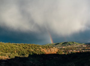
4.03.3 mi / 1500 ft gainWant to see a rainbow? Possibly some coyotes or other Colorado wildlife?This hike is full of twists and turns, mostly involving the trail, but also in surprises along the way.Drive into downtown Golden (grab some food if you're hungry) and then park at the base of the Golden Summit trail. Startin...Read more -
Golden, Colorado
Mountain Bike the North Table Mountain Loop
4.57.5 mi / 890 ft gainOnce you're parked, you can choose to ride this trail either counterclockwise or clockwise. My personal recommendation is CCW, which entails you head up the steep paved road on the east-southeast corner of the parking lot first. The climb is about 10 minutes of grunt work and then on to flat grou...Read more -
Breckenridge, Colorado
Hike Baker's Tank Loop
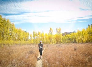
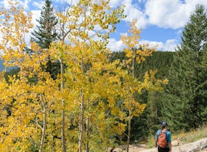
3.86 mi / 645 ft gainWhen the aspens are sporting their golden hues of autumn, Baker's Tank Loop is a perfect fall hike. The trailhead is about ten minutes from downtown Breckenridge. For part of the hike, you may have the world to yourself. But, for the road portion, you'll likely have to share with the leaf peep...Read more -
Golden, Colorado
Hike the Blue Grouse Trail Loop
3.06 mi / 400 ft gainStart the hike at the Blue Grouse Trailhead located next to Kriley Pond. Travel along Blue Grouse Trail for 0.7 miles until you reach a fork in the trail at Mule Trail where you will take a right. Along the Mule Trail you will travel up a series of switch backs before the trail levels out and you...Read more -
Idaho Springs, Colorado
Chinns Lake Trail
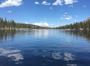
4.02.7 mi / 741 ft gainChinns Lake Trail is an out-and-back trail that takes you by a lake located near Idaho Springs, Colorado.Read more -
Golden, Colorado
Hike the Sawmill to Maverick Loop
4.32 mi / 450 ft gainFor this adventure, you'll be completing the Sawmill to Maverick loop. It is a short, but gentle trail that will take you through open meadows, to pine forests, and great views of Denver and Golden.Starting from the west parking area, cross the road and hit the Sawmill Trail. This trail starts ou...Read more -
Golden, Colorado
Hike the Mountain Lion Trail
6.7 mi / 1230 ft gainThere are three parking lots with direct access to the Mountain Lion Trail. The main one is off of Crawford Gulch Road, but any of them are good starting points! This loop has pretty similar elevation gain and loss profiles no matter which way you go, so you can go any direction. This adventure ...Read more -
Parshall, Colorado
Ski or Snowshoe Jones Pass
4.06 mi / 1600 ft gainIts sister trail, Butler Gulch, is an all-time favorite hike (both summer and winter), and since they share a trailhead, I knew Jones Pass would be special as well.Jones Pass is not the type of trail I normally take, since it is actually a 4x4 road that is used for Jeeping in the summer and snowm...Read more -
Silverthorne, Colorado
Hike to Old Dillon Reservoir
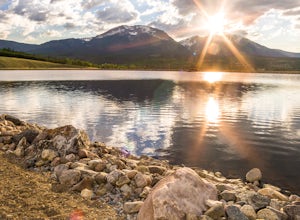
4.51.7 mi / 137 ft gainToday, Lake Dillon is one of the biggest attractions in the Dillon Valley, attracting boaters, anglers, and campers. However, the large reservoir we know today was not the first one in the area. The Old Dillon Reservoir was built in the 1930s to supply water to the original town of Dillon, which...Read more -
Woodland Park, Colorado
Lovell Gulch Trail
5.22 mi / 814 ft gainLovell Gulch Trail is a loop trail that takes you by a river located near Woodland Park, Colorado.Read more -
Frisco, Colorado
Hike or Snowshoe to Rainbow Lakes
5.03 mi / 250 ft gainYou can do this hike two different ways: 1- Start from the Peaks Trail Trailhead for an out and back hike, distance is a little over 2 miles roundtrip. 2- Start along the Summit County Recreational Trail (as marked on this map), also out and back hike, total distance just over 3 miles, and provid...Read more -
Boulder, Colorado
Hike or Bike the Walker Ranch Loop
4.77.7 mi / 1740 ft gainWhen it comes to hiking trails in Boulder, the standard response usually consists of either Chautauqua Park or Mt. Sanitas, and while both offer excellent hiking options, they are both usually jam packed on the weekends. If you’re looking to stay close to the city, but want a little more seclusio...Read more -
Fraser, Colorado
Summit Byers Peak
8.8 mi / 2774 ft gainThe drive to the start of the trail is okay, having a high clearance vehicle would make the drive easier, but is not necessary. Free parking is available along the side of the road.The trail starts on a closed service road at a gate and requires you to either hike or bike up the dirt road (2 mil...Read more


