Granby, Colorado
Top Spots in and near Granby
-
Loveland, Colorado
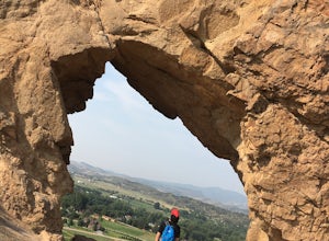
Hike the Devil's Backbone in Colorado
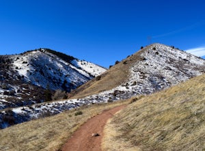
4.32.5 miThe Devils Backbone Open Space offers great hiking in the Front Range foothills. The main feature is the rock formation running along the western boundary of the park, but the open space also supports a large wildlife and plant population. Here, you'll find great opportunities for year-round hiki...Read more -
Bellvue, Colorado
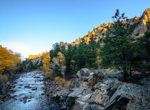
Poudre Canyon Run
5.026.2 mi / 1800 ft gainStretching 126 miles from its source in the Rocky Mountain National Park, the Cache La Poudre (pronounced: Poo-ter) river provides host to an entire treasure trove of outdoor recreational activities. From Fly Fishing and rafting to camping and photography. Carved away by thousands of years of flo...Read more -
Golden, Colorado
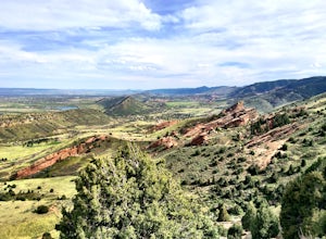
Hike the Morrison Slide in Matthews / Winters Park
4.24.7 mi / 600 ft gainStart at the trailhead located at 1103 County Hwy. 93 and enjoy a little warm up time by the creek that winds past wild plum, chokecherry, and willow trees. Matthews-Winters Park is filled with red rock formations that make for amazing scenery. It also has the remnants of a historic cemetery. The...Read more -
Golden, Colorado
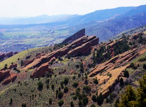
Matthews/Winters Park Loop
4.04.99 mi / 827 ft gainMatthews/Winters Park, which is part of the Jefferson County Open Space system, is proof that you do not have to go far from the city to enjoy the mountains. Nestled in the foothills between Golden and Morrison just off I-70 and C-470, Matthews/Winters is easy to access from Denver and any of the...Read more -
Jefferson, Colorado
Colorado Trail: Kenosha Pass to FR 130
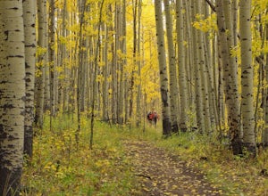
4.66.81 mi / 938 ft gainThe Colorado Trail (http://www.coloradotrail.org) is 500 miles long and stretches from Denver to Durango. Perhaps the most-traveled portion of the Colorado Trail is at Kenosha Pass. Kenosha Pass is well-known for its thick, colorful stands of aspen in the fall. During peak leaf season (late Septe...Read more -
Breckenridge, Colorado
Hike the East Ridge of Pacific Peak
5.08 mi / 3500 ft gainStart from the McCullough gulch trailhead. If possible it would be worth having 2 cars and leaving one at the main McCullough trailhead so you don't have to walk the road on your way down. Bushwack through trees and willows up the ridge directly to the north of the trailhead. You might be lucky a...Read more -
Breckenridge, Colorado
Hike McCullough Gulch to Upper Blue Reservoir
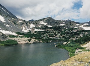
5.02.8 mi / 910 ft gainThe trail first takes you to Upper Blue Reservoir, about 1.4 miles in. Past this point, it can be somewhat tricky to find the trail, but for experienced hikers, the upper valley holds a number of lakes, a waterfall, and open tundra for exploring. Mountain goat sightings are also common in this ar...Read more -
Minturn, Colorado
Ski Notch Mountain
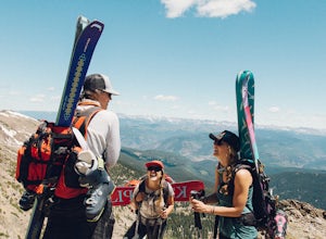
10 mi / 3000 ft gainWhat's not to love - you'll be skiing in the off season! We did this hike/ski in late June, our skis, boots, and avi gear packed with our hiking shoes on our feet. May could potentially be the most opportune time for this adventure. The hike you will take is the traditional Notch Mountain Hike. T...Read more -
Minturn, Colorado
Climb Mount of the Holy Cross, North Ridge
4.5Just a few miles South Minturn, Colorado, turn onto Tigiwon Road (dirt) and take it about 5 miles to the Half Moon trailhead at . Tigiwon Road is easily accessed by 2WD vehicles and the trailhead should be reachable in the Summer months after the snows have melted.Start early as, at 12 miles, thi...Read more -
Minturn, Colorado
Scramble the Halo Ridge on Mt. Holy Cross
5.015 mi / 5210 ft gainThe Halo Ridge is by no means the easiest route to the summit of Mt. Holy Cross, but it is definitely the most interesting and scenic. You'll begin at the Half Moon (Tigiwon) trailhead, but instead of the popular Halfmoon Trail, you will start on the Fall Creek Trail as it leaves the campground.T...Read more -
Minturn, Colorado
Hike to Tuhare Lakes
12 mi / 3000 ft gainOverview: About a 12 mile hike, with 3 alpine lakes, a significant climb and views worthwhile Photos: See all photos here. Getting There: The hike is accessed from the Half Moon pass parking lot - from the Fall Creek trailhead. The parking lot and trailhead are accessed at the end of Tigiwon Rd. ...Read more -
Livermore, Colorado
Mt. McConnel Summit Trail Loop
4.26 mi / 1453 ft gainThis 4.3-mile round trip hike gains 1300 feet of elevation before reaching the Mt. McConnel summit. The primitive trail is rated as difficult and has an ascent of many switchbacks, leading up to a wild flower-covered summit. The trail winds along the ridge line around 8,000 feet, offering panoram...Read more -
Red Cliff, Colorado
Ski to Fowler-Hilliard Hut
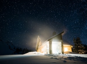
6.5 mi / 2500 ft gainFowler-Hilliard hut sits at 11,500 ft on a forested ridge of Resolution Mountain, with easy access to intermediate and expert backcountry skiing right out the door. This newer hut was built in 2010 after the original hut burned down from a lightning strike. The hut comes stocked with padded mattr...Read more -
Morrison, Colorado
Hike Dinosaur Ridge
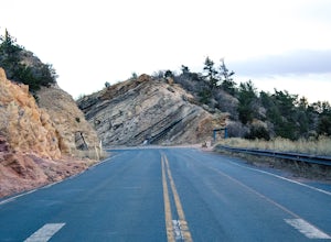
4.02 mi / 50 ft gainThe hiking trail starts at the parking lot located across from the Dinosaur Ridge Discovery center (which you should totally go check out!). Once you park you will follow the gated and paved Alameda Parkway towards the ridge. Along the way there will be several sites on the left until you reach t...Read more -
Morrison, Colorado
Hike Mount Falcon
4.03.7 miJust a short drive from Denver up US-285 sits Mount Falcon Park, a 2,248 acre open space park managed by Jefferson County. With over 12 miles of hiking trails and stunning views of Denver and the Front Range, this park is perfect for getting in a quick adventure when you don’t feel like driving t...Read more -
Morrison, Colorado
Hike the Red Rocks Trail
4.06 miWhile this is a 6 mile hike, it is relatively easy to add mileage to it and tailor it to fit your needs. Instead of simply doing the Red Rocks Trail/Morrison Slide loop, you can head all the way to the Village Walk trail in Matthews-Winters. You can also park along Red Rocks Trail Road and elimin...Read more

