Jefferson, Colorado
Looking for the best chillin in Jefferson? We've got you covered with the top trails, trips, hiking, backpacking, camping and more around Jefferson. The detailed guides, photos, and reviews are all submitted by the Outbound community.
Top Chillin Spots in and near Jefferson
-
Minturn, Colorado
Backpack the High Alpine Seven Sisters Lake Chain
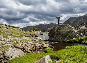
12 mi / 1000 ft gainThis lake chain is in a spectacular, undeveloped bowl of jagged and rugged mountain goodness located in the Holy Cross Wilderness Area. This hidden gem is easily accessible and, to my amazement, it is relatively unheard of even among many locals. More wonderful perks included in this backpacking ...Read more -
Twin Lakes, Colorado
Camp at Twin Lakes' White Star Campground
4.5This area is located on the other side of Independence Pass from Aspen, which is only accessible during the summer, or can be reached year-round via Leadville, which is about 20 miles away along Highway 24. From Twin Lakes Village drive approximately 1.5 miles east on Highway 82 and take the exit...Read more -
Twin Lakes, Colorado
Kayak Twin Lakes
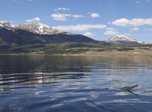
Twin Lakes are two bodies of water that are connected by a short run of water with a dam at the eastern end. There are a few different places to put in your boat including boat ramps by the access point on the east end of the lake. There is also a boat ramp and a place to seasonally rent boats by...Read more -
Vail, Colorado
Hike the Upper Piney River Trail
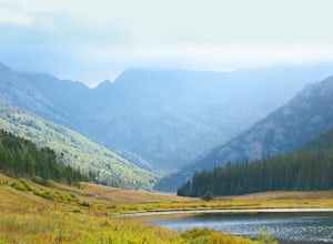
4.05.6 mi / 350 ft gainBeginning at an elevation of 9,397 feet, this hike provides an easy 2.8 mile (one way) trip through the gorgeous meadows against the distant aspens and alpines. Wildflowers and wildlife are abundant, which make this trip a fantastic education and play experience for kids.Coordinates for the trail...Read more -
Chaffee County, Colorado
Off-Trail Hike of Limestone Ridge
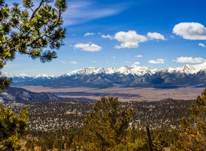
4.09 mi / 1000 ft gainFinding a winter or early spring adventure that won't take you deep into dangerous mountain territory, while still providing epic vistas, is a challenge in Colorado. There are a few 10,000' tall ranges that sometimes escape deep snow, which are inviting for a first step into the alpine wonderland...Read more -
Morrison, Colorado
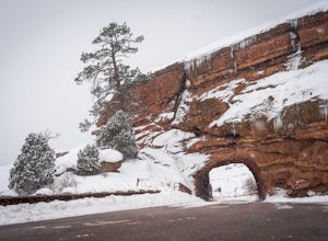
Explore Red Rocks Park in Winter
4.3Red Rocks is a bustling park in the summer when its famous amphitheater is filled with concerts. In winter though, the park dies down and becomes even more quiet when snow is falling. Grab your camera and head to the park during a winter storm to truly enjoy the beautiful red sandstone formations...Read more -
Nederland, Colorado
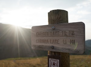
Hike Rollins Pass to Devils Thumb
2.1 mi / 622 ft gainCorona Lake is an easy, short hike if you're pressed for time. It's scenic, secluded, and will put you in a great spot to hike to Devils Thumb the next day. There are two ways to reach Devils Thumb. This is considered the "easier" route because of the "lack of elevation gain." The sun and wind re...Read more -
Golden, Colorado
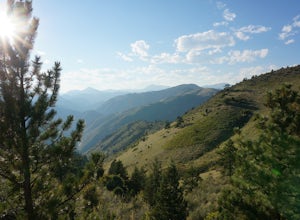
Hike Lookout Mountain
2.3 mi / 675 ft gainBegin hiking up a trail into the forest which eventually opens up into several beautiful spots that look down into the canyon below.Read more -
Golden, Colorado
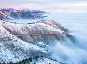
Capture Sunrise from Lookout Mountain
3.7Lookout Mountain sits just above Golden and provides one of the best easy-access viewpoints near Denver. The mountain provides numerous vantage spots along the road up, with the best at a rock outcropping just below Buffalo Bill's Gravesite & Museum (with easy parking).If you're hoping to ca...Read more -
Golden, Colorado
Hike to Forgotten Valley
4.33.6 mi / 852 ft gainThere are over 35 miles of hiking trails in the park. The twelve trails in Golden Gate Canyon State Park are named after an animal and marked with the animal’s footprint.For a 2.6 round trip hike, start at the Burro Trailhead in Golden Gate Canyon State Park. You’ll immediately cross over a lit...Read more -
Leadville, Colorado
Savage Lakes Trail
5.03.97 mi / 1299 ft gainThe majority of this hike traverses through the beautiful forest that is part of the Holy Cross Wilderness. No significant views are to be had until you've climbed 1,300 ft over 2. miles and reach lower Savage Lake. The trail is easy enough to follow with no junctions along the way, and is adjace...Read more -
Hartsel, Colorado
Camp at East Castle Rock Gulch
This is an awesome camp spot for individuals who do not have a 4x4 or AWD and want a secluded getaway! It does require to drive about 3 miles along a dirt road before arriving at the dead end of 188A, but can be easily cleared. From what I could see on the drive in there were only 4 camp spots de...Read more -
Nederland, Colorado
Hike to the Lost Lakes via the Hessie Trail
4 mi / 1000 ft gainAccessed by Hessie Trailhead, Lost Lake is a relatively moderate 4 mile round-trip hike with about 1,000 feet of elevation. The core of the hike is uphill and on a gravel path, 2/3rds of the hike runs parallel to a rushing waterfall. After parking your car, head towards the Hessie Trailhead. Yo...Read more -
Florissant, Colorado
See the Stars at Florrisant Fossil Beds
While Florrisant is known mostly for its history and collection of fossils, it is also one of the darkest places in the Colorado Springs area. While the park closes daily at dusk, it has Night Sky Programs monthly which allows visitors to view the stars with the help of the Colorado Springs Astr...Read more -
Nederland, Colorado
Drive the Peak to Peak Highway
4.555 mi / 705 ft gainThe Peak to Peak Highway is a 55-mile stretch of road that winds its way from Nederland to Estes Park (or Estes Park to Nederland). This road connects to many points of exploration, Indian Peaks Wilderness Area and Rocky Mountain National Park to name a couple, but the drive itself is an adventur...Read more -
Buena Vista, Colorado
Summit La Plata Peak
5.09.25 mi / 4500 ft gainThe Northwest Ridge is the most easily accessible and popular route, and for good reasons. The trailhead is on the side of Hwy 82, otherwise known as Independence Pass, about 14.5 miles from the Hwy 24 junction, or about 10 miles from Twin Lakes to the east. The trailhead is hard to miss, and you...Read more

