Livermore, Colorado
Top Spots in and near Livermore
-
Estes Park, Colorado
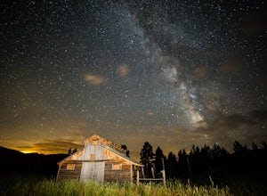
Photograph the Night Sky Over Trail Ridge Road
4.0The highest continuous paved road in North America, Trail Ridge Road takes you above 12,000 ft to an alpine tundra. Being above treeline means you have unclogged panoramic views of the night sky and any possible meteors. You can start your trip from Grand Lake in the west or Estes Park in the ea...Read more -
Estes Park, Colorado
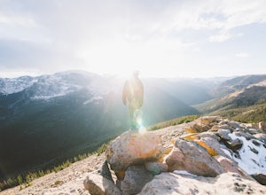
Watch the Sunset at Forest Canyon Overlook
5.00.2 mi / 32 ft gainTrail Ridge Road is an incredible highway that crosses the mountains between Grand Lake and Estes Park, one of the most famous parts of Rocky Mountain National Park. It features incredible views of the Rockies and the Front Range, as well as the unforgettable experience of being immersed in the t...Read more -
Bellvue, Colorado
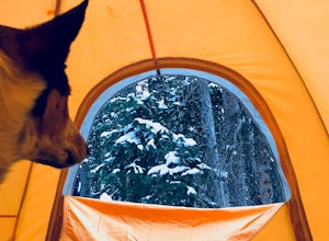
Winter camp at Zimmerman Lake
2.7 mi / 518 ft gainThis is a fairly popular snowshoeing and cross country skiing trail in the winter and offers a variety of additional trail options from the lake. Starting at the parking lot, the trailhead is easily accessed and begins the very gradual assent to Lake Zimmerman. Once at the lake, there are beautif...Read more -
Lyons, Colorado
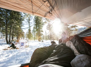
Winter Camp Near Coulson Gulch
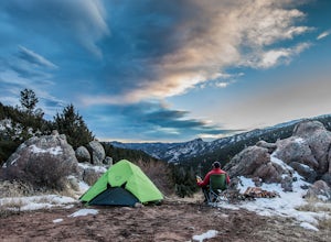
4.0County Road 47 is between Lyons and Estes Park. It's an easy drive from Denver and is a great place to get away for the weekend. I have camped here in the summer, fall, and winter. I have to say that snow camping was my favorite. I didn't see anyone the whole weekend and had the entire area to ex...Read more -
Estes Park, Colorado
Sprague Lake Loop
5.00.81 mi / 26 ft gainLocated in Rocky Mountain National Park at an elevation of almost 8,700 feet, Sprague Lake offers visitors great views with very little effort required. It's a short 15 minute drive from Estes Park and hikers can take the short trail around the circumference of the lake. You'll find bathrooms and...Read more -
Lyons, Colorado
Camp at Coulson Gulch
4.09 miCoulson Gulch is a lightly used area of the Roosevelt National Forest which makes it perfect for a weekend getaway without the crowds. This is a great place to camp out under the stars!To get to Coulson Gulch From Lyons, head west on U.S. Highway 36 for about 9 miles. Turn southwest onto Larimer ...Read more -
Larimer County, Colorado
Bierstadt Lake Loop
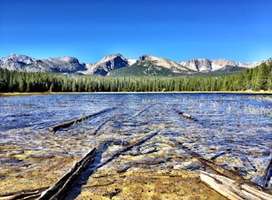
4.32.93 mi / 675 ft gainFrom the Bierstadt Lake Trailhead on Bear Lake Road in Rocky Mountain National Park, you start out in lodgepole pines at 8850 feet high. But you quickly get into the aspens. In the breeze, aspens flutter or quake. It's unique sound as the leaves almost dance in the wind. The views and aspens ...Read more -
Lyons, Colorado
Sleepy Lion Trail
4.7 mi / 712 ft gainThe trailhead is about eight tenths of a mile from the parking area. You pass some sport climbs, a man made waterfall, and some large boulders in the North St. Vrain Creek.The trailhead is clearly marked on the left. There is some elevation gain at the beginning but nothing difficult. Once the el...Read more -
Estes Park, Colorado
Green Lake via Glacier Gorge Trail
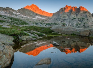
5.011.38 mi / 3400 ft gainBegin at the popular Glacier Gorge trailhead along Bear Lake Road in Rocky Mountain National Park. Arrive VERY early for parking as the lot typically fills by 7:30 am. For the best photography options - choose to either backpack into the Glacier Gorge campsite (reservations must be made early in ...Read more -
Larimer County, Colorado
Sky Pond via Glacier Gorge Trailhead
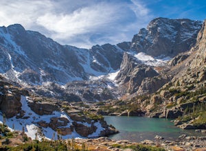
4.78.43 mi / 1780 ft gainStart at the Glacier Gorge trailhead on Bear Lake Road. Parking is limited so it is advised to get there very early. It's a longer hike so plan on taking a full day to complete or stay overnight to enjoy more of the scenery. Within the first mile on the Glacier Gorge Trail you will pass by Alber...Read more -
Larimer County, Colorado
The Loch Lake Trail via Glacier Gorge Trail
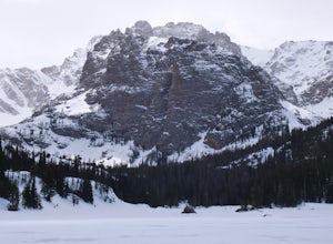
5.53 mi / 1072 ft gainThe Loch Lake Trail via Glacier Gorge Trail is an out-and-back trail that takes you by a lake located near Estes Park, Colorado.Read more -
Larimer County, Colorado
The Loch Vale Hike
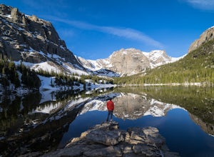
5.05.53 mi / 1056 ft gainThe trail starts at the Glacier Gorge trailhead along the road to Bear Lake. After hiking for just under a mile, you'll pass Alberta Falls and continue up the trail through the gorge. At about 2 miles you'll reach a clear junction, with trails towards Mills Lake, Lake Haiyaha, and The Loch. Take ...Read more -
Larimer County, Colorado
Mills Lake via Glacier Gorge Trailhead
4.85.24 mi / 940 ft gainStart hiking at the Glacier Gorge Trailhead down the bear lake road in rocky mountain national park. The trailhead is very popular so it can be difficult to find a parking place at times. From Glacier Gorge, follow the obvious trail and signs towards mills lake. In the summer the trail will go p...Read more -
Walden, Colorado
View Fall Color on Cameron Pass
From the front range, drive west of Fort Collins, Colo. on Highway 14 towards Walden, Colo. When you enter Highway 14 from Fort Collins, look for Ted's Place. Ted's is a gas station and convenient store, stop here to hit the bathroom, fill up on gas, and grab some snacks. There will be very few f...Read more -
Walden, Colorado
Backcountry Ski or Snowboard at Cameron Pass
To get to Cameron Pass, drive west out of Fort Collins from Highway 287, to Highway 14, into Poudre Canyon. Take the drive all the way through Poudre Canyon, and soon you will climb out of the canyon and towards the continental divide at Cameron Pass. Once you see the sign at the top of the pass ...Read more -
Walden, Colorado
Snowshoeing at Blue Lake near Cameron Pass
10 mi / 1500 ft gainWhile the trail does have quite a bit of elevation gain you don't really feel it since it is dispersed among five miles of trail. The first part of the trail is a wider road with a few look out points of nearby Chambers Lake. About two miles in you reach the end of the National Forest area. From ...Read more

