Lyons, Colorado
Top Spots in and near Lyons
-
Estes Park, Colorado
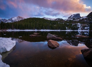
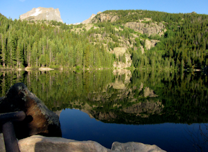
Photograph Bear Lake
4.6Bear Lake is a popular tourist destination in Rocky Mountain NP, but when the sun is low in the sky or the stars are out you'll find the big crowd are gone. The lake is beautiful at sunrise and sunset but especially photogenic in the fall or at winter's end. While it doesn't have the darkest nig...Read more -
Estes Park, Colorado
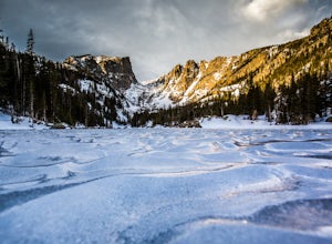
Catch a Sunrise at Dream Lake
4.92.2 mi / 402 ft gainBegin at the Bear Lake Trailhead, located at the end of Bear Lake Road, 9 miles from the entrance on Highway 36. Follow the signs to Dream Lake, passing Nymph Lake about halfway through. At 1.1 miles you will reach Dream Lake. The views of 12,713-foot Hallett Peak and 12,324-foot Flattop Mountain...Read more -
Estes Park, Colorado
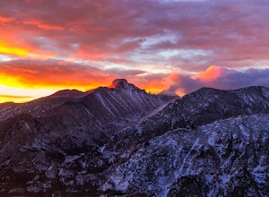
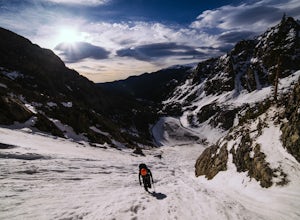
Winter Hike Flattop Mountain
4.88.6 mi / 2850 ft gainTo catch the sunrise, begin at the Bear Lake trailhead in Rocky Mountain National Park. From the trailhead, veer right around bear lake and continue along the Odessa Lake/Flattop Mountain trail. This will begin to ascend on your right.After approximately 1 mile, the Flattop Mountain Trail will sp...Read more -
Estes Park, Colorado
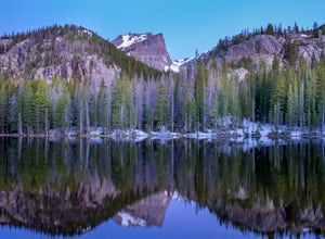
Nymph Lake via Bear Lake Trailhead
4.81.13 mi / 245 ft gainWhile not as popular as Dream Lake, Nymph Lake is just as beautiful. The hike to Nymph Lake is an easy hike just over 1 mile. You start from the Bear Lake Trail head and can go further on to Dream Lake and Emerald Lake if you want to. Both Dream and Emerald Lakes are also stunning and very photog...Read more -
Estes Park, Colorado
Ptarmigan Lake via Bear Lake Trailhead
11.33 mi / 3850 ft gainThe hike to Ptarmigan Lake has plenty of elevation gain for mountain lovers and views for miles from the Continental Divide. If you want to reach this spot for sunrise you'll need a very early start in the morning, but that also means you won't have to use the shuttle system to Bear Lake. The las...Read more -
Estes Park, Colorado
Flattop Mountain and Hallett Peak
4.49.73 mi / 3240 ft gainArrive at the Bear Lake Trailhead. Follow abundant signage toward Flattop Peak. Once you arrive at the summit of Flattop identify the unnamed unmaintained trail leading south toward Hallett Peak. Round the head of Tyndall Gorge and ascend the rocky slopes toward the summit by connecting short use...Read more -
Estes Park, Colorado
Snowshoe to Emerald Lake
4.63.6 mi / 605 ft gainSnowshoeing to Emerald Lake was completely different from hiking the trail during summer. Instead of hiking around Nymph Lake, Dream Lake, and Emerald Lake, I was able to go straight across them (check the ice to make sure it's thick enough to support your weight). Rocky Mountain National Park's...Read more -
Estes Park, Colorado
Climb Notchtop Mountain in Rocky Mountain National Park
5.03.5 mi / 1550 ft gainPark at Bear Lake, and follow the signs north of the lake to Odessa Lake. However, do NOT go all the way to Odessa Lake; after about 3 miles, when Notchtop is in full view, the trail begins to descend to Odessa Lake. Find an unmarked spur trail to the left which leads to shallow Lake Helene, then...Read more -
Estes Park, Colorado
Hike Flattop Hallett Andrews Loop
5.010.9 mi / 3238 ft gainBear Lake to Flattop Mountain The trail starts at Bear Lake, where you get a view of Hallett Peak (12,713 ft) which will be the highpoint of your hike. After a short walk on the Bear Lake Trail, take the path to the right. After 1/2 a mile, take a trail left to the north. 1/2 a mile later, stay l...Read more -
Estes Park, Colorado
Dragon's Tail Couloir Climb
5.0Start your day at the Bear Lake parking lot, and head out on the short 2-mile approach that winds uphill past Nymph and Dream Lake. After arriving at Emerald Lake, skirt around the shore on the left side to reach the bottom of the couloir, clearly visibile on the far side of the lake.The 1500 ft ...Read more -
Estes Park, Colorado
Hike along Tombstone Ridge
4.3 mi / 3250 ft gainTombstone ridge can be accessed via the ute trail from two directions. The lower trail starts at upper beaver meadows and is ~4.3 miles with 3250 feet of elevation gain. It can also be accessed at the Ute trail crossing along trail ridge road, which leaves you a 1.1 mile hike with just under 300 ...Read more -
Estes Park, Colorado
Camp at Aspenglen Campground
5.0Aspenglen is one of the four main campgrounds within the park boundaries. The campground is for car camping and there are areas just for tents and then broader areas for tents and campers. There are 53 sites at this campground and it fills up quickly each year. Reservations are available six mont...Read more -
Boulder, Colorado
Hike the Flatirons Vista Loop Trail
4.73.3 miFrom the parking lot, take South Flatiron Vista Trail for 2.4 miles, where you'll cross onto North Flatiron Vista Trail. In 1 mile, take the connector trail back to the trailhead. To shorten the loop to 2 miles, hike South Flatiron for just 1 mile to Prairie Vista Trail, which leads back to the c...Read more -
Estes Park, Colorado
Backpack to Odessa Lake via Fern Lake Trailhead
4.09.65 mi / 1890 ft gainOdessa Lake seems to be one of the true hidden gems of Rocky Mountain National Park. Don't get me wrong, you will likely see some folks there, but it is a far cry from the other crowded Bear Lake trailhead lakes. There are two ways to reach Odessa; one, from the Bear Lake Trailhead, and the oth...Read more -
Estes Park, Colorado
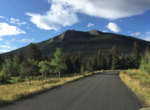
Hike Deer Mountain
6.03 mi / 1200 ft gainBeginning in Rocky Mountain National Park near the Deer Ridge Junction (where US 34 & US 36 meet), park your car in one of the 20 spots on either side of the road. Start at the trailhead booth and head north, keeping to the right-side trail at the first intersection about a tenth of a mile fr...Read more -
40.387035,-105.610770
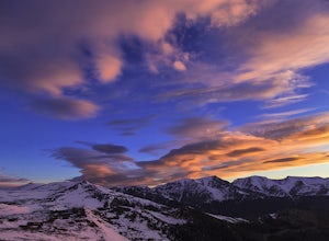
Rocky Mountain NP's Trail Ridge Road
4.939.06 miStart by entering Rocky Mountain National Park through Estes Park, Colorado. After acquiring a map start your ascent on Trail Ridge Rd (the road is closed in winter). The Road will take you up in elevation into the mountains so a good car is strongly recommended. As you wind up the switch backs,...Read more

